
CET-103 · Maine, US
Town Farm Spurwink River
83 photos from 41 people · Since Sep 2021
About this place
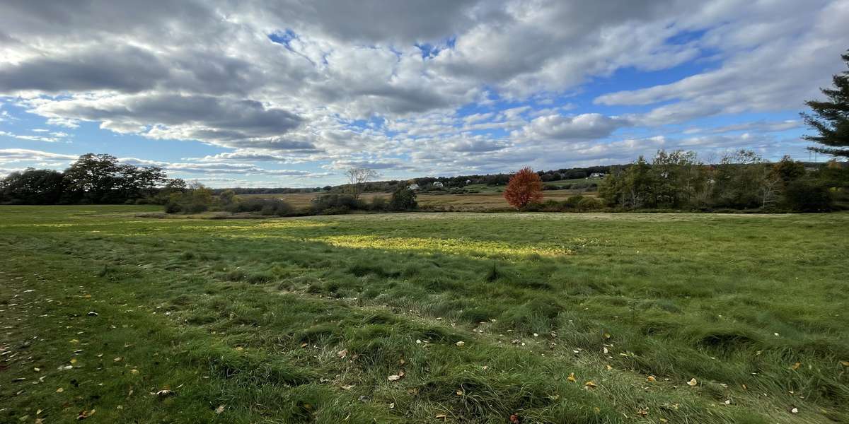
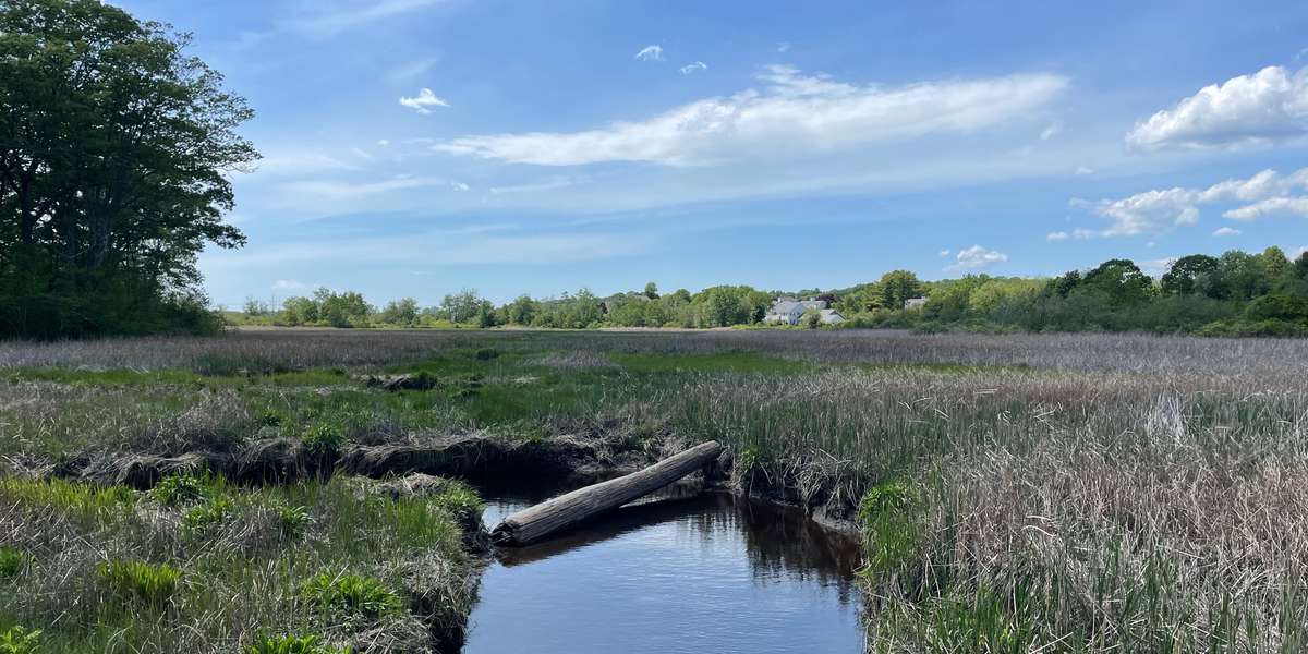
Comprised of a large field, a few pine trees, and a cluster of shrubbery, Town Farm is one of the largest public open spaces in Cape Elizabeth. It sits on a slope overlooking the Spurwink River and marsh system. Most of the field is lined with brushy forest, aside from this location, which provides a scenic outlook towards the marsh.
In the summer, the field fills with wildflowers and other native plants creating a natural, healthy habitat for grassland birds and pollinators. Photos taken at this observation site will help to monitor seasonal patterns in plant life as well as tidal patterns in the marsh.
Town Farm is owned and managed by the Town of Cape Elizabeth and protected by a conservation easement held by Cape Elizabeth Land Trust.
VOLUNTEER: CELT welcomes Volunteers! Learn more here on ways you can get involved.
NEWS & EVENTS: Keep up to date with CELT news and join us at our events .
About Cape Elizabeth Land Trust

The Cape Elizabeth Land Trust maintains five photo monitoring stations to enable citizen science monitoring of environmental changes in our local ecosystems. Through these locations and accompanying education programs, we hope to foster climate change literacy, scientific engagement, and connections to nature in our community. This project began in 2021 with financial support from the Casco Bay Estuary Partnership.
CELT is part of the Momentum Conservation's Climate Change Observatory Network, a photo monitoring program designed to work with environmental organizations and communities to assist with the observation, measurement, and documentation of long‐term climate change trends and climate adaptation projects.
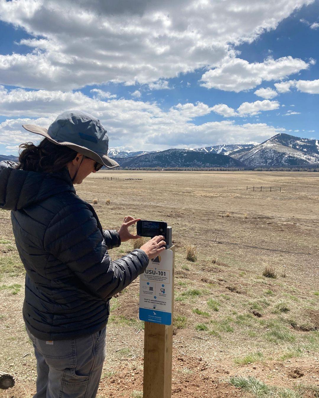
New to Chronolog?
A timelapse made by visitors
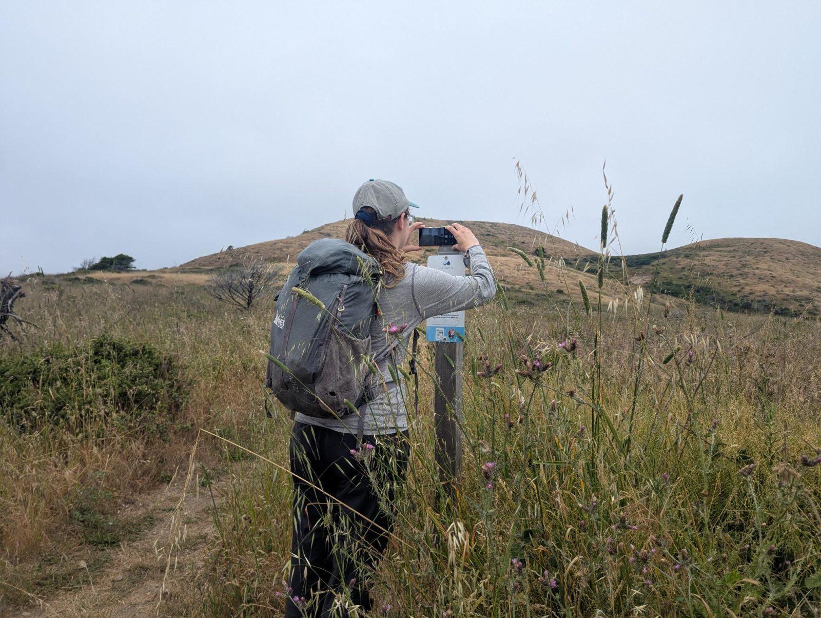
People passing through set their phone in the bracket and take the same photo. We line them all up into one timelapse of this place.
See how it worksVisit
Find this Chronolog
Maine, US · 43.58793, -70.24517
More from Cape Elizabeth Land Trust
Other places they’re watching.


For parks, nature centers, land trusts, schools & more
Give your place a memory.
Each person who stops adds a photo. Together, they show how your site changes.
- Up in an afternoon
- No power or Wi-Fi
- Full-resolution photos and video