

CRW-201 · Massachusetts, US
S. Natick Dam
By Charles River Watershed Association
49 photos from 16 people · Since Nov 2025
About this place
The Charles River Dam at South Natick is an earthen dam and concrete spillway on the Charles River in Natick, MA. A historic mill dam, the present-day dam was rebuilt in 1934 after the previous dam was destroyed in a 1929 flood. The structure was rated in "poor condition", served no purpose for power or flood control, and impeded migratory fish passage, effectively degrading the river ecosystem.
In 2022, the Natick Select Board Voted in favor to remove the spillway and restore the river. Spillway removal will preserve the vital mature trees, which improve air and water quality, reduce heat island impacts, and mitigate flooding, and offer the chance to restore the river ecosystem, and provide the numerous benefits of a free-flowing river to wildlife and residents alike.
Dam removal is planned for summer 2026. This view is of the dam's upstream impoundment, an unnatural bulge in the Charles River, which is expected to change following dam removal. Join us in watching this area transform back into a free-flowing river bordered by vegetated wetlands!
About Charles River Watershed Association
We work to protect, restore, and enhance the Charles River and its watershed using science, advocacy, and the law by developing science-based strategies to increase resilience, protect public health, and promote environmental equity as we face a changing climate, together.
New to Chronolog?
A timelapse made by visitors
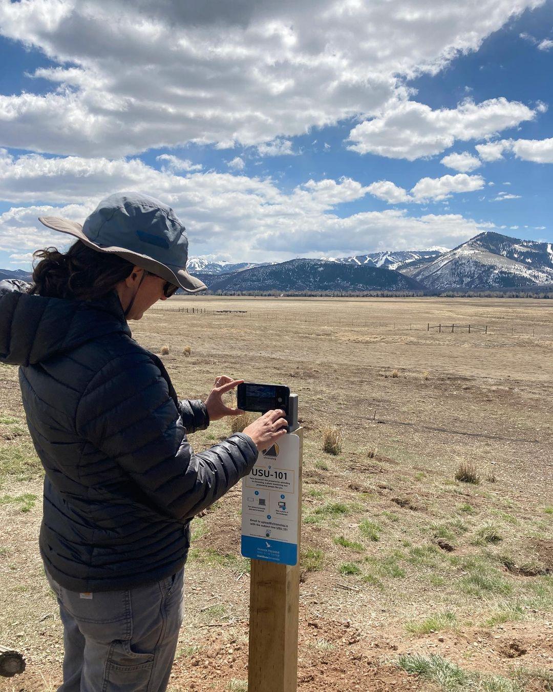
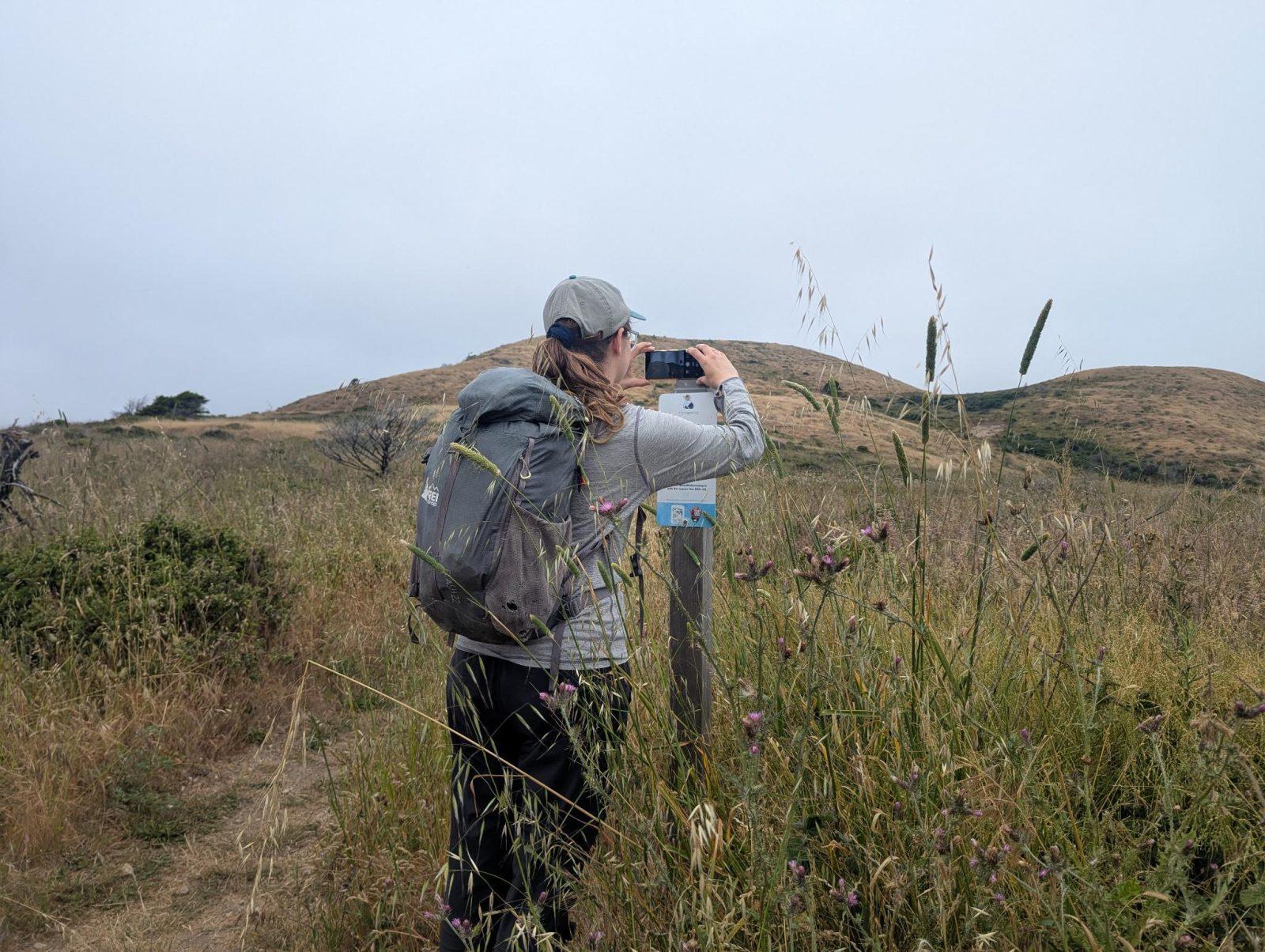
People passing through set their phone in the bracket and take the same photo. We line them all up into one timelapse of this place.
See how it worksVisit
Find this Chronolog
Massachusetts, US · 42.27118, -71.31549
More from Charles River Watershed Association
Other places they’re watching.


For parks, nature centers, land trusts, schools & more
Give your place a memory.
Each person who stops adds a photo. Together, they show how your site changes.
- Up in an afternoon
- No power or Wi-Fi
- Full-resolution photos and video