

CRW-202 · Massachusetts, US
Cheesecake Brook 1
By Charles River Watershed Association
91 photos from 44 people · Since Jan 2026
About this place
Cheesecake Brook, a once meandering stream surrounded by wetlands, was filled, straightened, and channelized in the 1800s and 1900s. Today, the urbanized tributary, which flows from its headwaters near the Brae Burn Country Club, is culverted and buried beneath the Mass Pike, and emerges into a narrow masonry channel before entering the Charles River.
Since 2020, CRWA has partnered with the City of Newton to work towards a community vision of a restored urban stream by addressing urban drainage challenges and improving riparian habitat. In 2024, Massachusetts funded the installation of nature-based project elements, including a stormwater infiltration basin and about an acre of restored bank plantings.
About Charles River Watershed Association
We work to protect, restore, and enhance the Charles River and its watershed using science, advocacy, and the law by developing science-based strategies to increase resilience, protect public health, and promote environmental equity as we face a changing climate, together.
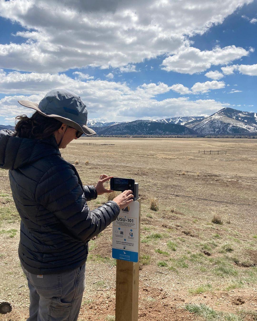
New to Chronolog?
A timelapse made by visitors
People passing through set their phone in the bracket and take the same photo. We line them all up into one timelapse of this place.
See how it worksVisit
Find this Chronolog
Massachusetts, US · 42.35667, -71.21576
More from Charles River Watershed Association
Other places they’re watching.


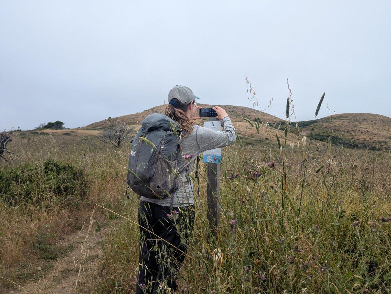
For parks, nature centers, land trusts, schools & more
Give your place a memory.
Each person who stops adds a photo. Together, they show how your site changes.
- Up in an afternoon
- No power or Wi-Fi
- Full-resolution photos and video