

DEC-103 · New York, US
Forge Pond
By New York State Department of Environmental Conservation
17 photos from 8 people · Since May 2021
About this place
Add your photos to help us monitor aquatic invasive species at this site! Forge Pond boat ramp and kayak launch. This is a great area for recreational fishing and boating along the Peconic river in Calverton, NY. The river is home to many fish species (largemouth bass, yellow perch, pumpkinseeds, bluegill, etc.) The NYSDEC is currently monitoring the aquatic invasive plant species in this area. Of major concern is the perennial plant, water primrose (Ludwigia peploides). These are the plants that you can see growing in islands of green across the bank later in the summer they grow bright yellow flowers with 5 petals. Another aggressive invasive plant at this site is European frogbit (Hydrocharis morsus-ranae). These plants look like little lily pads but instead of a pizza slice shaped cut in the leaf, these have a rounded almost heart-shaped appearance. In the summer you may see their small white flowers with 3 petals. To help us prevent the spread of these species elsewhere on long island or the rest of the state please remember to clean, drain, and dry your boat between each time you use it!
About New York State Department of Environmental Conservation
The New York State Department of Environmental Conservation is a department of New York state government. The department guides and regulates the conservation, improvement, and protection of New York's natural resources; manages Forest Preserve lands in the Adirondack and Catskill parks, state forest lands, and wildlife management areas; regulates sport fishing, hunting and trapping; and enforces the state's environmental laws and regulations.
Visit their website (opens in a new tab)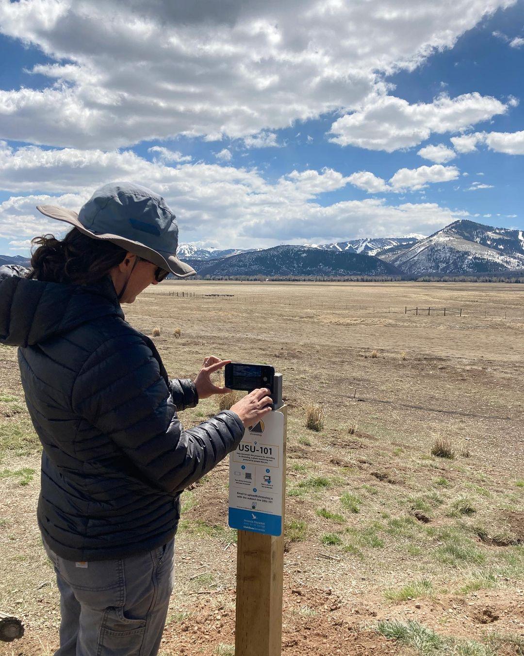
New to Chronolog?
A timelapse made by visitors
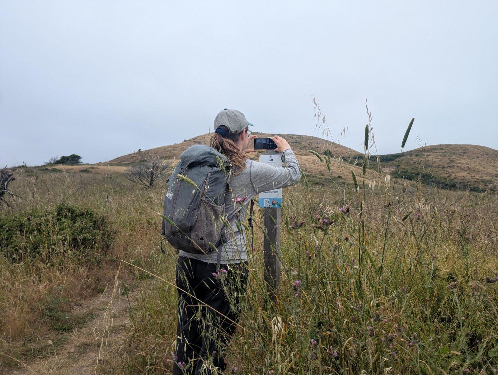
People passing through set their phone in the bracket and take the same photo. We line them all up into one timelapse of this place.
See how it worksVisit
Find this Chronolog
New York, US · 40.90776, -72.73159
More from New York State Department of Environmental Conservation
Other places they’re watching.


For parks, nature centers, land trusts, schools & more
Give your place a memory.
Each person who stops adds a photo. Together, they show how your site changes.
- Up in an afternoon
- No power or Wi-Fi
- Full-resolution photos and video