
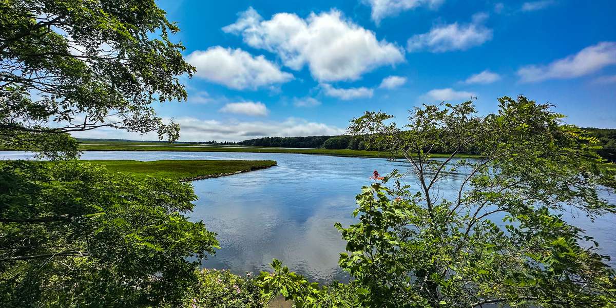
FSM-102 · Maine, US
Scarborough Marsh, Eastern View
By Friends of Scarborough Marsh
468 photos from 316 people · Since Jun 2021
About this place
Scarborough Marsh Wildlife Management Area is a 3,200-acre saltwater marsh in southern Maine. It is the state's largest salt marsh. This is an Eastern View.
Photos taken at this site contribute to a time lapse video that serves as baseline data, and allows for close observation, measurement, and analysis of long-term climate change trends.
Salt marshes filter both the merging fresh water and sea water and provide food and shelter for numerous species of birds, fish, mammals, and shellfish. Marshes also act as Carbon Sinks capturing and storing harmful greenhouse gases. Learn More.
View a Map of Scarborough Marsh here.
Want to get more involved, learn more about Volunteer opportunites here .
Learn More about what impacts will sea level rise have on marshes, conserved lands, marine resources, and other nearshore resources on the Community Intertidal Data Portal.
About Friends of Scarborough Marsh

The Friends of Scarborough Marsh has merged with Scarborough Land Trust to form a stronger, unified nonprofit conservation organization. Our mission remains focused on the protection, restoration, and enhancement of Scarborough Marsh through conservation, research, and education. The Marsh is Maine’s largest contiguous salt marsh and a vital natural resource for the state and town, providing essential habitat for countless plant and animal species.
Our efforts include: projects and studies to understand environmental challenges and opportunities for restoration; land conservation initiatives throughout the Marsh and its uplands; education and public outreach events like clean-ups and our lecture series. We invite you to join us. You can help!

The Scarborough Land Trust is part of Momentum Conservation's Climate Change Observatory Network, a photo monitoring program designed to work with environmental organizations and communities to assist with the observation, measurement, and documentation of long-term climate change trends and climate adaptation projects.
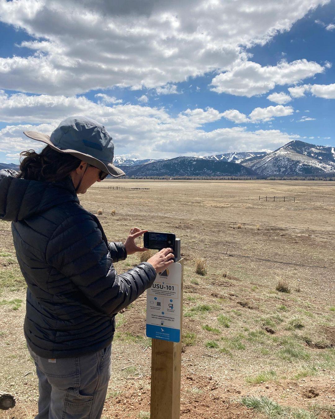
New to Chronolog?
A timelapse made by visitors
People passing through set their phone in the bracket and take the same photo. We line them all up into one timelapse of this place.
See how it worksVisit
Find this Chronolog
Maine, US · 43.56318, -70.36668
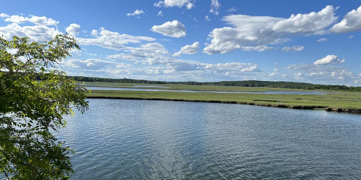
More from Friends of Scarborough Marsh
Other places they’re watching.
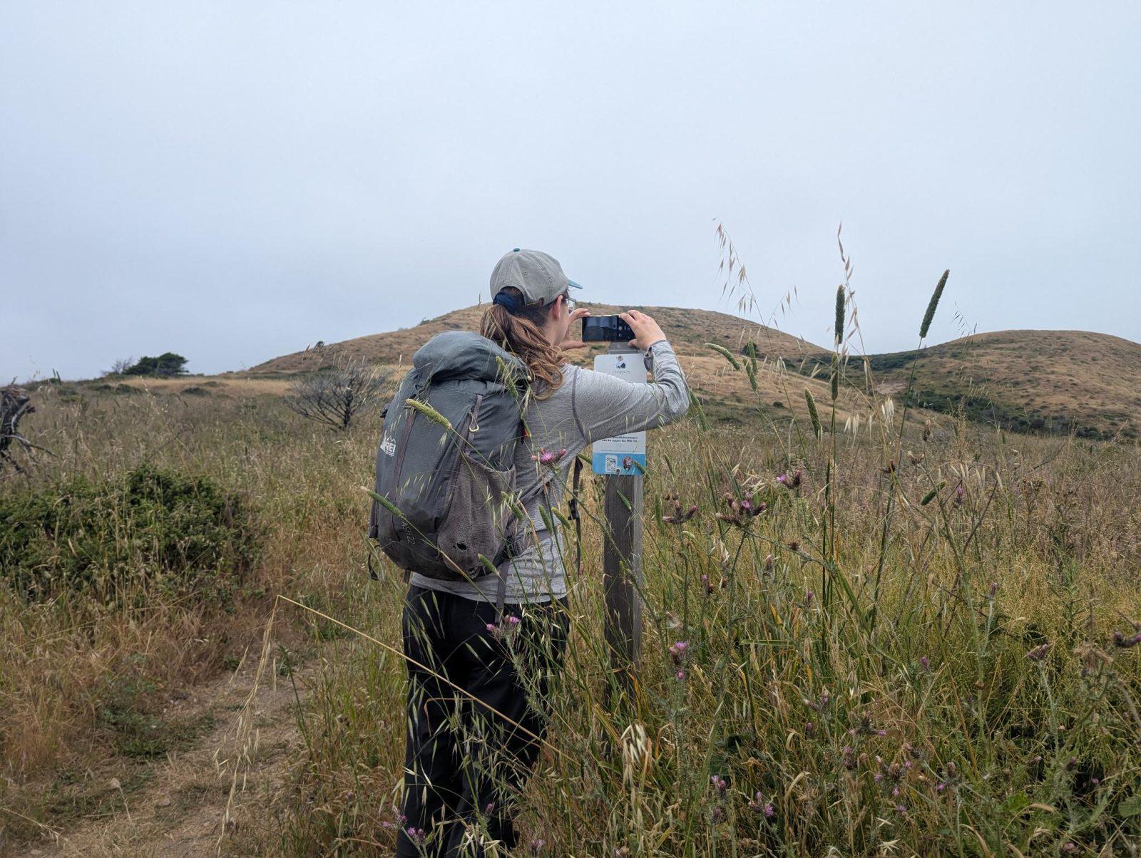
For parks, nature centers, land trusts, schools & more
Give your place a memory.
Each person who stops adds a photo. Together, they show how your site changes.
- Up in an afternoon
- No power or Wi-Fi
- Full-resolution photos and video