
MRP-102 · California, US
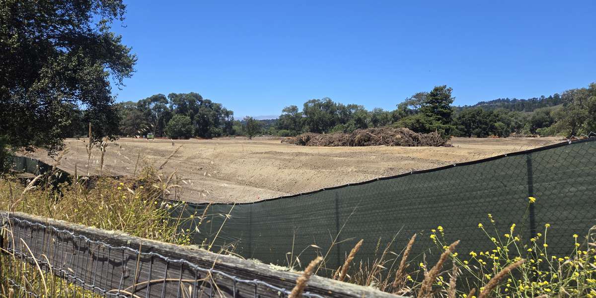
Floodplain from South Bank Trail
By Monterey Peninsula Regional Park District
104 photos from 77 people · Since Jul 2025
About this place
This is where the floodplain construction is happening in Phase 1. Watch our team restore this floodplain by removing dirt, creat backwater channels, and plant native plants. After initial construction keep taking photos as the river takes over and restore's this floodplain with natural processes!
About Monterey Peninsula Regional Park District
Visit their website (opens in a new tab)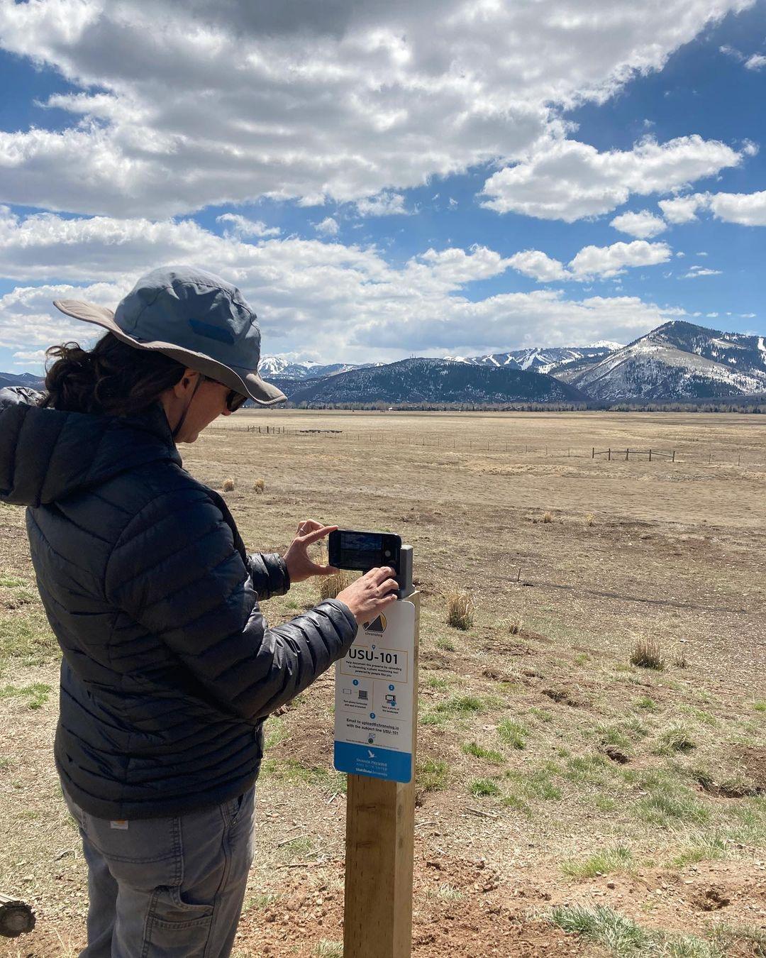
New to Chronolog?
A timelapse made by visitors
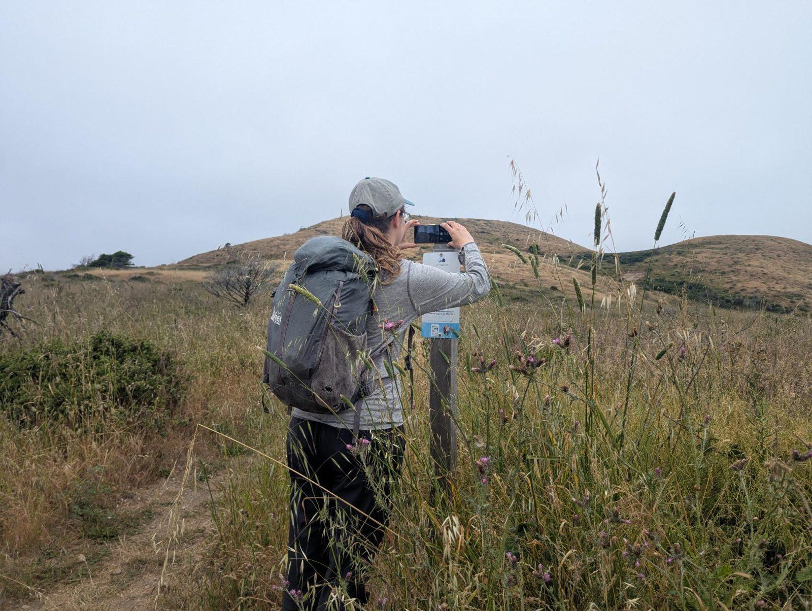
People passing through set their phone in the bracket and take the same photo. We line them all up into one timelapse of this place.
See how it worksVisit
Find this Chronolog
California, US · 36.53493, -121.88889
More from Monterey Peninsula Regional Park District
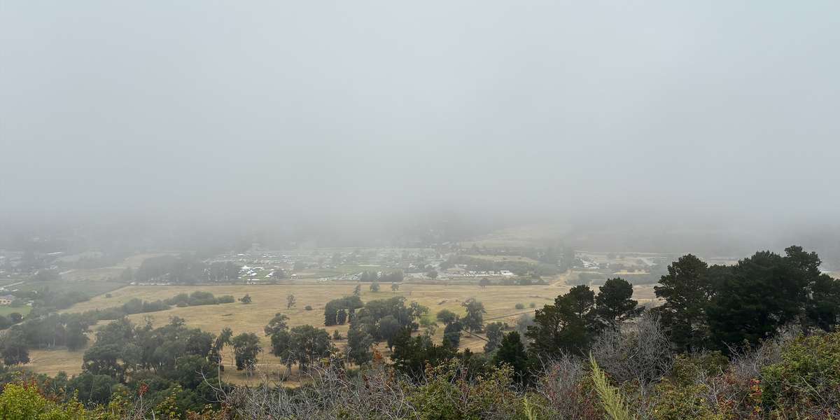
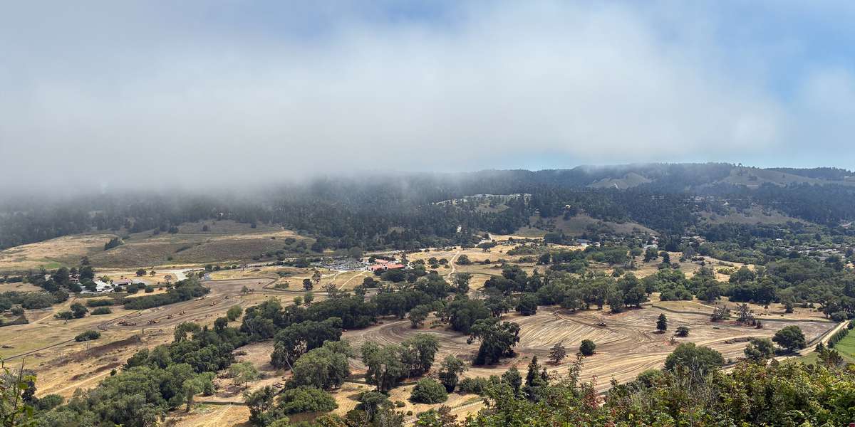
Other places they’re watching.

For parks, nature centers, land trusts, schools & more
Give your place a memory.
Each person who stops adds a photo. Together, they show how your site changes.
- Up in an afternoon
- No power or Wi-Fi
- Full-resolution photos and video