
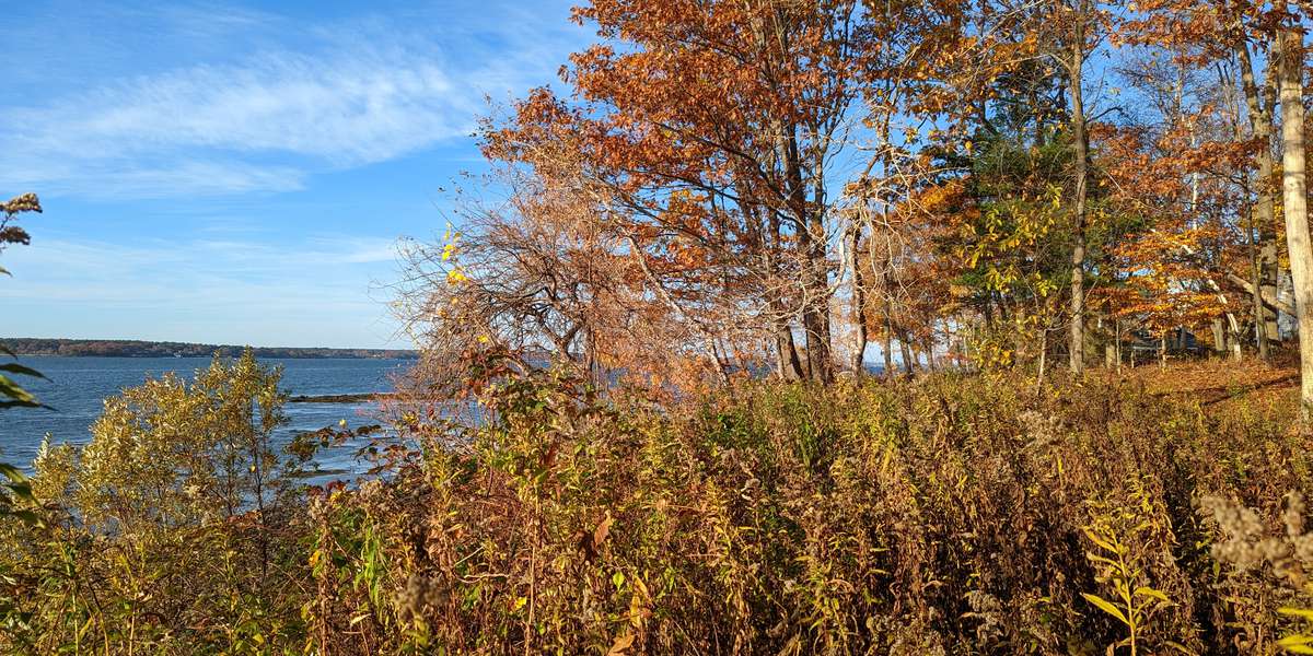
OCT-104 · Maine, US
Great Diamond Island
By Oceanside Conservation Trust of Casco Bay
54 photos from 19 people · Since Aug 2022
About this place
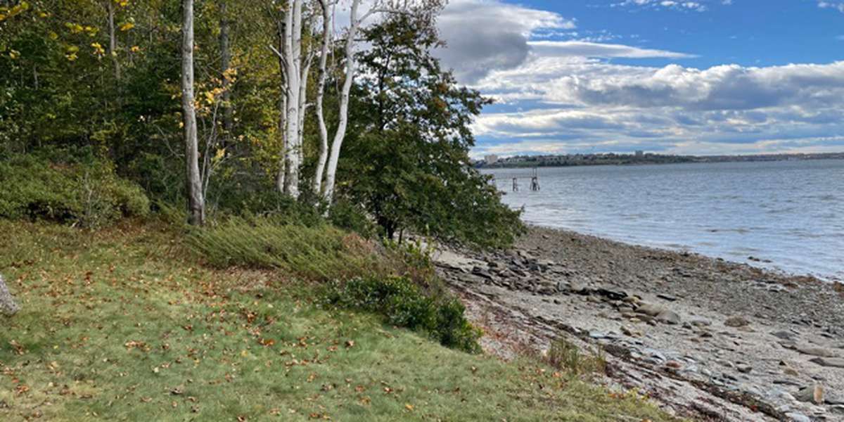
Great Diamond Island is an island in Casco Bay, Maine.
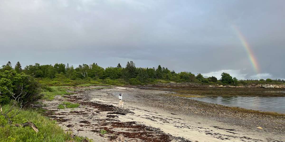
Photos taken at this site will help monitor and document changes to the sandbar area that connects Great Diamond Island to Little Diamond Island at low tide. This road is critical to providing services to both islands. Photos will help document erosion of land on Great Diamond Island and changes to the sandbar road, especially as water levels rise.
The monitoring post is accessible to Great Diamond Island residents at both high and low tide and accessible to Little Diamond residents who walk across the sandbar at low tide.
The OCT monitoring site is located on private property but close to the traveled road. We urge visitors to be respectful. You also may notice that this observation site was moved. It was no longer accessible where it was initially placed, so we adapted to this new location.
Learn more about Casco Bay Islands and its Watersheds
Natural Resources & Data.
Learn More about what impacts will sea level rise have on marshes, conserved lands, marine resources, and other nearshore resources.
About Oceanside Conservation Trust of Casco Bay

Oceanside Conservation Trust of Casco Bay (OCT) facilitates the conservation of wild or undeveloped open space, scenic areas, and historic landmarks in the Casco Bay region; fosters low-impact and respectful access to these resources; and enhances the cultural, economic and civil well-being of residents and visitors.

OCT is part of the Momentum Conservation's Climate Change Observatory Network, a photo monitoring program designed to work with environmental organizations and communities to assist with the observation, measurement, and documentation of long-term climate change trends and climate adaptation projects.
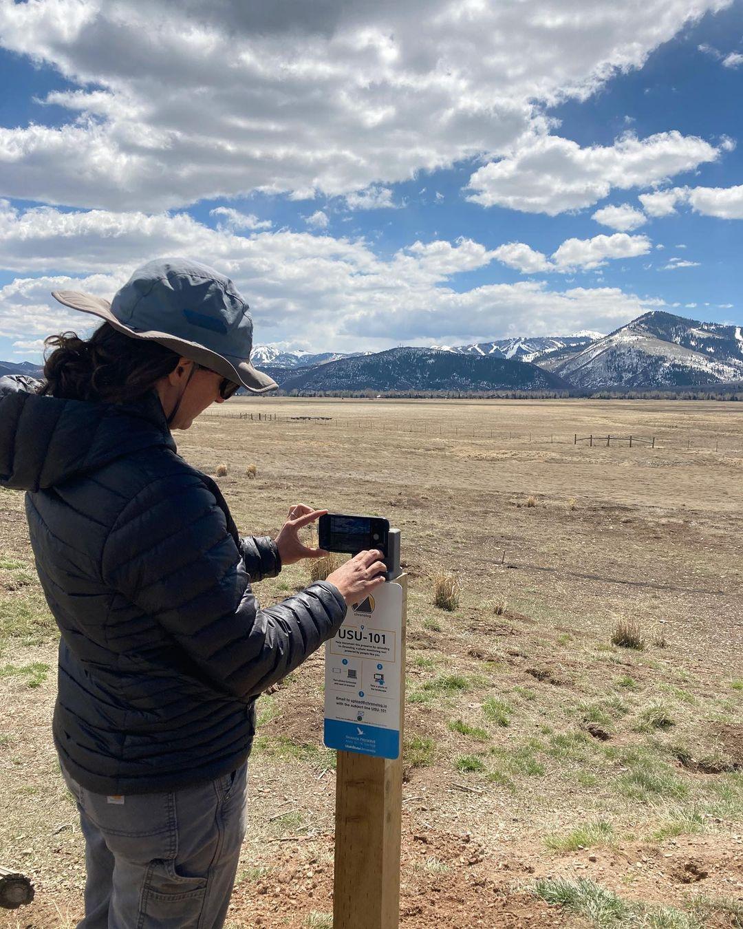
New to Chronolog?
A timelapse made by visitors
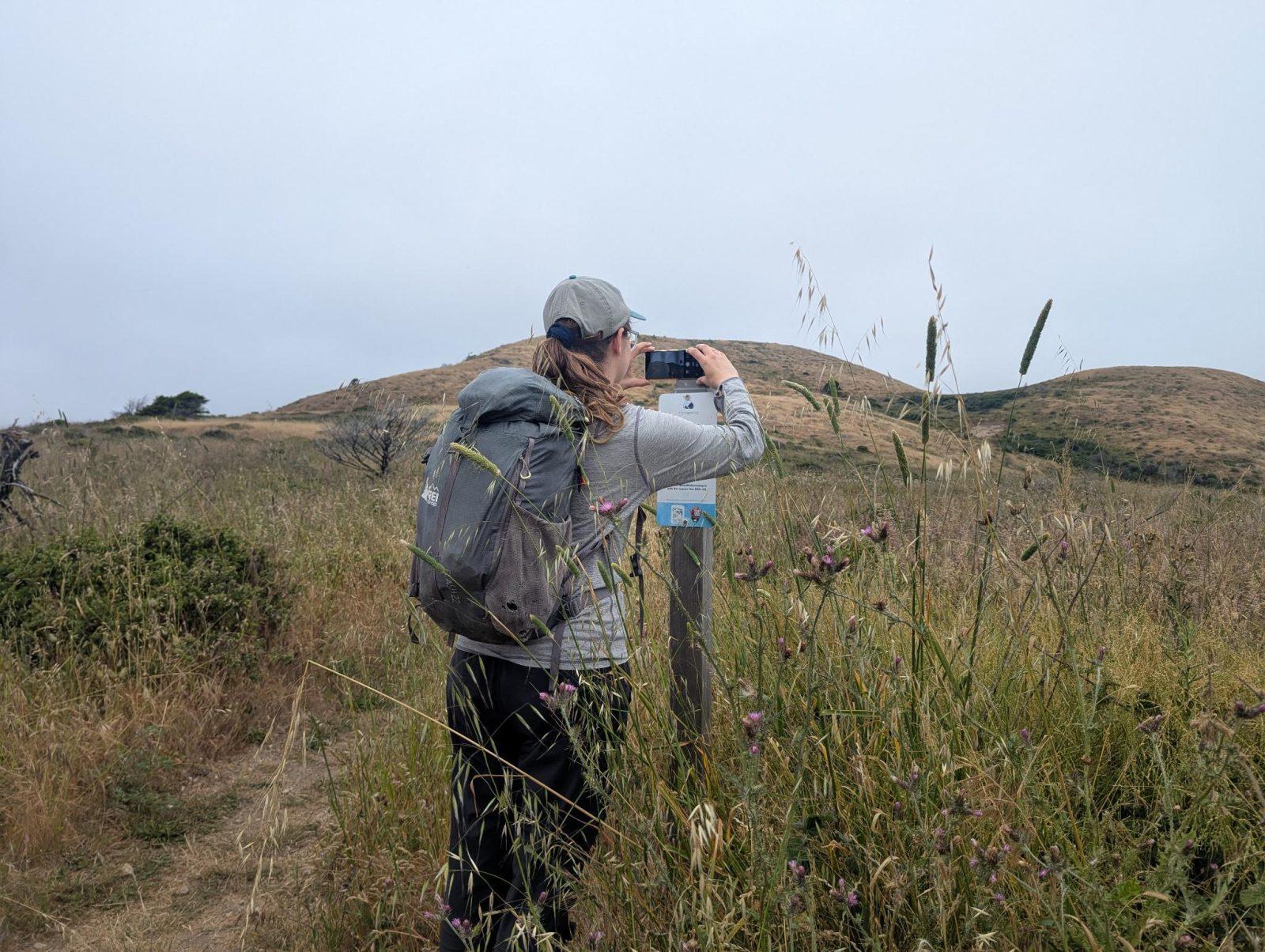
People passing through set their phone in the bracket and take the same photo. We line them all up into one timelapse of this place.
See how it worksVisit
Find this Chronolog
Maine, US · 43.67250, -70.20361
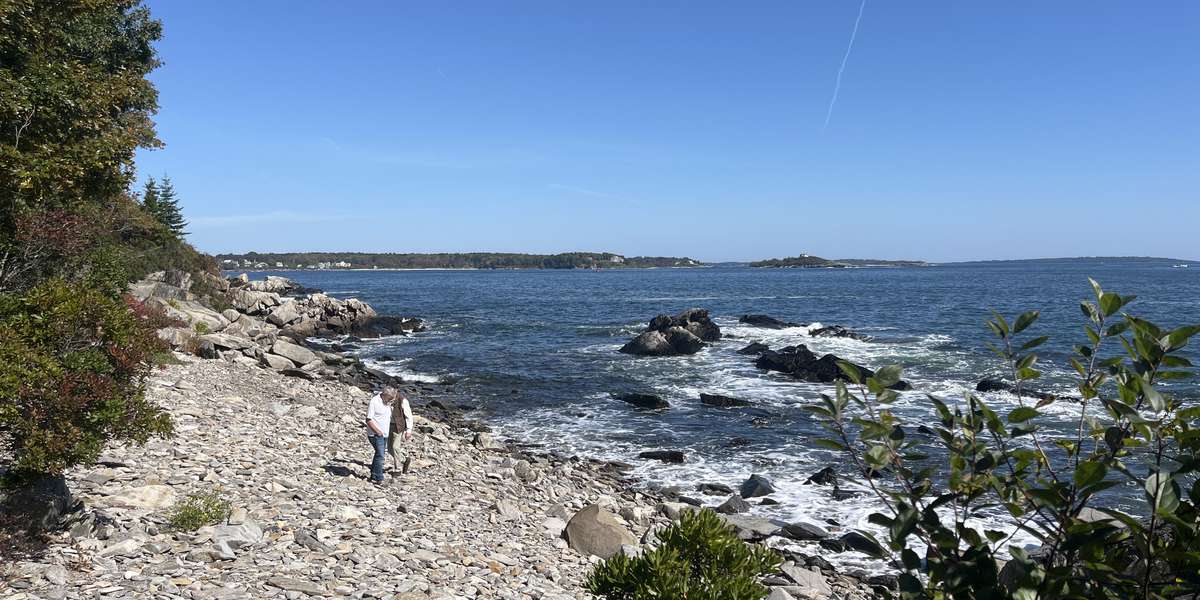
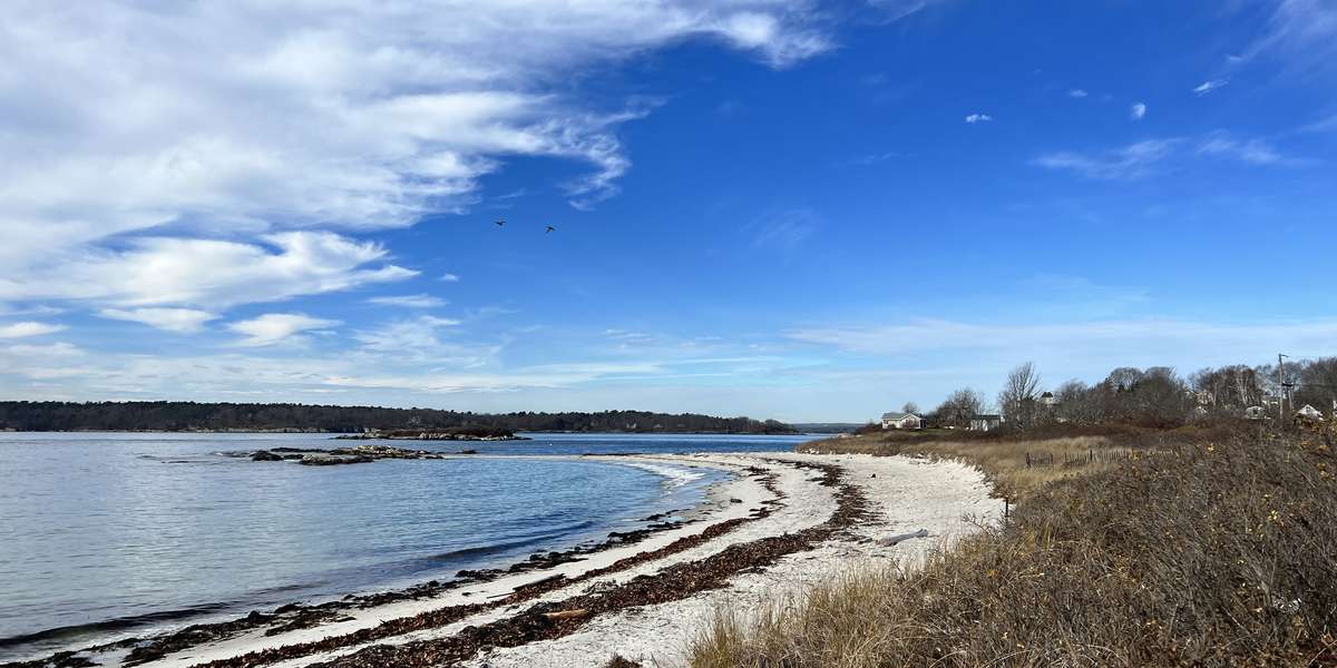
More from Oceanside Conservation Trust of Casco Bay
Other places they’re watching.
For parks, nature centers, land trusts, schools & more
Give your place a memory.
Each person who stops adds a photo. Together, they show how your site changes.
- Up in an afternoon
- No power or Wi-Fi
- Full-resolution photos and video