

TSF-102 · Nevada, US
Durango Loop Temporary Trail
By Tule Springs Fossil Beds National Monument
175 photos from 154 people · Since Apr 2022
About this place
While the Durango Temporary Loop Trail offers year-round scenic views of Mojave Desert scrub habitat and the Las Vegas Range, wildflower blooms in spring and summer are a sight to see. Join our citizen science project by photographing these plants to document changes in native and invasive plants through months and seasons.
Additionally, this Chronolog station documents geohazards, which are active geologic processes that cause land collapses due to erosion. Geohazards occur rapidly without warning, which increases the need for the importance of long-term monitoring of these high risk areas. Time lapse photo series are one of the most effective educational tools to show this kind of change over time. Citizen science is the voluntary involvement of the public in scientific research. The data you collect at this station as a citizen scientist can assist professional scientists and resource managers better understand the park’s natural resources.
About Tule Springs Fossil Beds National Monument
Tule Springs Fossil Beds National Monument was established as the 405th unit of the National Park Service Dec. 19, 2014. It was established to "conserve, protect, interpret and enhance for the benefit of present and future generations the unique and nationally important paleontological, scientific, educational and recreational resources and values of the land." The monument is 22,650 acres. It is located just north of Las Vegas, Nevada, and stretches along US Highway 95 north of Aliante and Centennial Hills to Creech Air Force Base. The paleontological period represented at Tule Springs ranges from 200,000 to 3,000 years ago. It is rich with significant paleontological resources from the ice age, including the Columbian Mammoth, extinct horses, camels and bison, and the dire wolf.
Visit their website (opens in a new tab)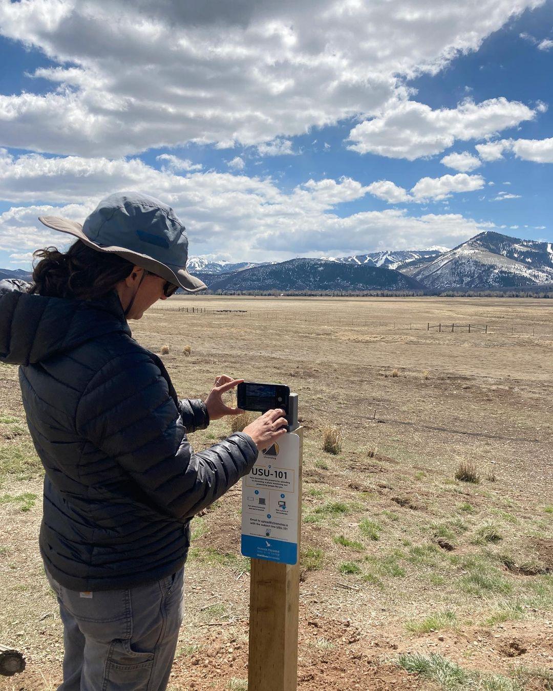
New to Chronolog?
A timelapse made by visitors
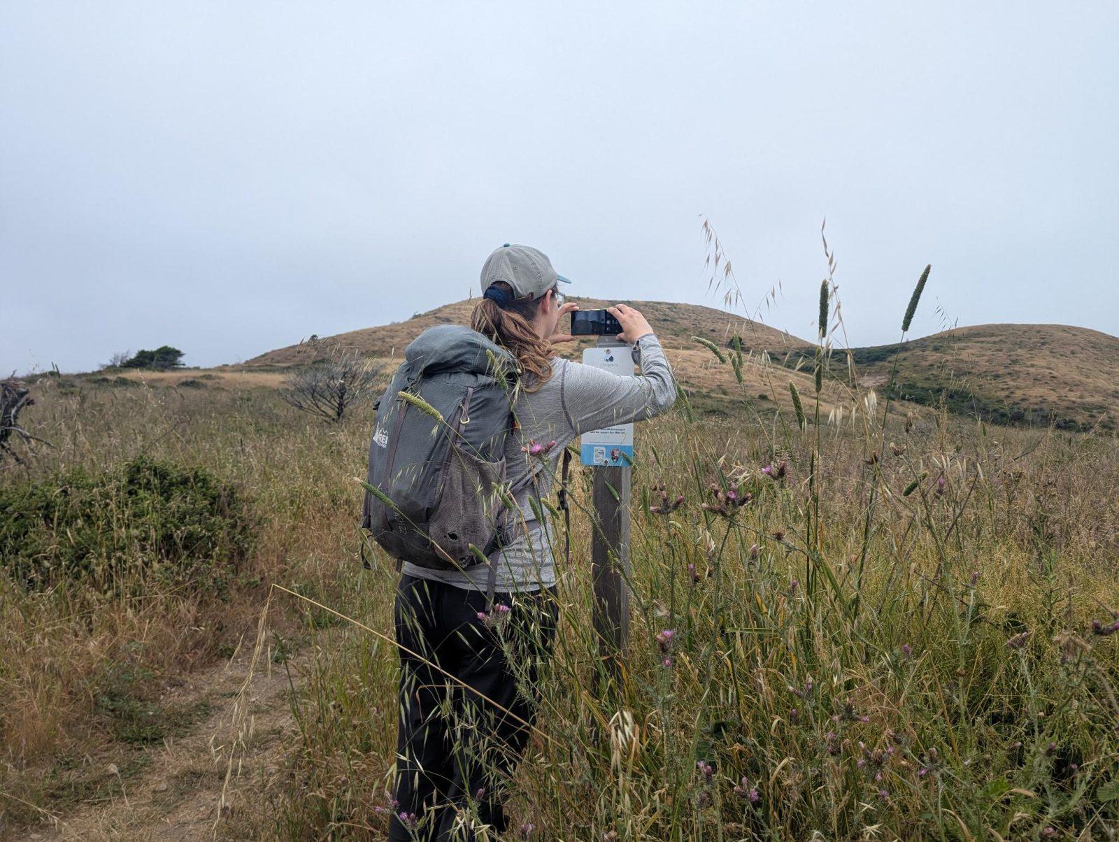
People passing through set their phone in the bracket and take the same photo. We line them all up into one timelapse of this place.
See how it worksVisit
Find this Chronolog
Nevada, US · 36.34034, -115.28228
More from Tule Springs Fossil Beds National Monument
Other places they’re watching.

For parks, nature centers, land trusts, schools & more
Give your place a memory.
Each person who stops adds a photo. Together, they show how your site changes.
- Up in an afternoon
- No power or Wi-Fi
- Full-resolution photos and video