

SNP-102 · Arizona, US
Wildhorse Pools
523 photos from 341 people · Since Dec 2022
About this place
Hikers heading to the popular Wildhorse Pools, at the end of Wildhorse Trail in Saguaro National Park’s cactus forest, can now help park scientists monitor flow of water through this beautiful desert stream. The repeat photos will also show seasonal and annual changes to riparian plants such as deer grass, desert cotton, and others. For more information on the park’s Tinajas Project, focused on desert stream conservation, please visit our website.
About Saguaro National Park
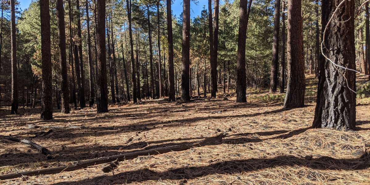
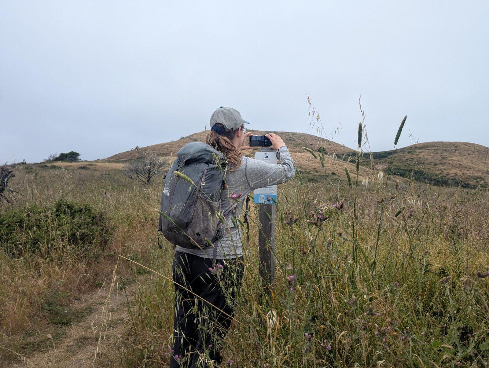
Chronolog Environmental Monitoring Project: Saguaro National Park is interested in long-term changes to its desert and forest plant communities. We are partnering with Chronolog, an environmental monitoring project that is powered by citizen scientists. Chronolog is a web-based system, utilizing a crowdsourced photo time lapse of each ecosystem. The Arizona Trail station at 8000 feet is the first of several planned in the park during the next few years. Hikers along the trail can now help the park keep track of how the ponderosa pine forest is responding following the 2020 Spud Rock Fire. Ponderosa pine is fire adapted, and the fire burned along the base of the trees and killed young trees, but did not harm the large pines. Through each month of photos, we hope to track changes in the forest understory over time. How to Participate: At the Chronolog photo station, prop your cell phone or camera on the bracket and take a photo. Then, email it to Chronolog, and your photo will be added to the time lapse of the ecosystem. Upon receiving the picture, Chronolog will automatically send an email response with the time lapse video of the site and an explanation as to why that site is being monitored.
Visit their website (opens in a new tab)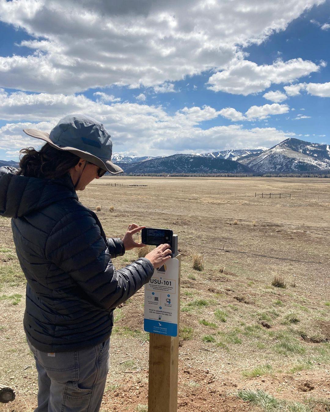
New to Chronolog?
A timelapse made by visitors
People passing through set their phone in the bracket and take the same photo. We line them all up into one timelapse of this place.
See how it worksVisit
Find this Chronolog
Arizona, US · 32.21112, -110.68458
More from Saguaro National Park
Other places they’re watching.
For parks, nature centers, land trusts, schools & more
Give your place a memory.
Each person who stops adds a photo. Together, they show how your site changes.
- Up in an afternoon
- No power or Wi-Fi
- Full-resolution photos and video