

KEN-111 · Illinois, US
Subat Nature Center – Prairie Overlook
85 photos from 61 people · Since Sep 2025
About this place
Subat Forest Preserve is a hot spot for biodiversity in Kendall County. While the preserve is small in size, the diversity of habitats all found in close proximity provides an abundance of natural resources. Wildlife species adapted to oak woodlands, prairies, and wetlands including riparian floodplain, fen, and marsh habitats are all found at Subat. Check out the e-Bird checklist to get insight into how these habitats support an unusual assemblage of species, and help Chronolog seasonal changes and restoration in progress in our restored prairie, riparian woodlands, fen, and marsh areas. Visit our online wildflower guide to help identify some of the more common wildflowers found here.
Stop in to enjoy the Mary M. Subat Nature Center!


About Kendall County Forest Preserve District:
The Kendall County Forest Preserve District is a local government agency within t he State of Illinois dedicated to conserving natural areas and connecting people to nature. The mission of the District is to acquire, preserve, and manage natural areas and open spaces, provide environmental education, and provide recreational opportunities for Kendall County residents. The District currently owns 3,000 acres of land within 21-forest preserve areas. Preserve areas are located primarily along the Fox River and its tributaries, and the Aux Sable Creek. Preserve amenities and services include recreational trails, event venues, overnight campgrounds, picnic shelters, fishing ponds, educational programming, and horsemanship lessons.
For more information, visit http://kendallforest.com
New to Chronolog?
A timelapse made by visitors
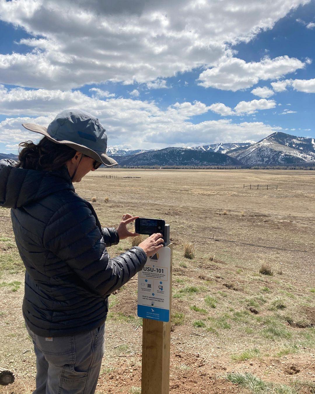
People passing through set their phone in the bracket and take the same photo. We line them all up into one timelapse of this place.
See how it worksVisit
Find this Chronolog
Illinois, US · 41.64776, -88.48884
More from Kendall County GIS
Other places they’re watching.


For parks, nature centers, land trusts, schools & more
Give your place a memory.
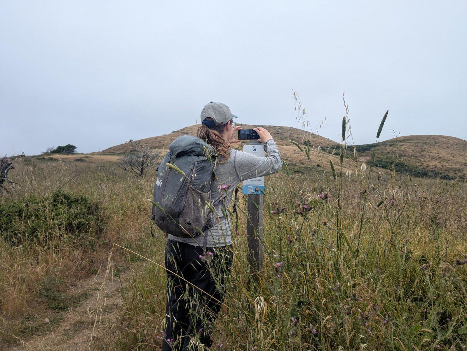
Each person who stops adds a photo. Together, they show how your site changes.
- Up in an afternoon
- No power or Wi-Fi
- Full-resolution photos and video