
Illinois · Since 2025
Kendall County GIS
Visitors to their sites take the photos. Every one becomes part of a timelapse you can explore.
14
Chronologs
891
Visitor photos
336
People who sent one
2
Years of photos
Their Chronologs
Where to find them.
All 14 Chronologs

Violet Patch Park
Kendall County GIS · Illinois, US

Subat Nature Center – Prairie Overlook
Kendall County GIS · Illinois, US

Saw Wee Kee Park
Kendall County GIS · Illinois, US

Marsh Wetland Boardwalk
Kendall County GIS · Illinois, US

Downtown Oswego Campus
Kendall County GIS · Illinois, US

Fox River Bluffs Cropland Conversion
Kendall County GIS · Illinois, US

Montgomery Campus
Kendall County GIS · Illinois, US

Fen Overlook Area
Kendall County GIS · Illinois, US

Rob Roy Creek and Floodplain Forest
Kendall County GIS · Illinois, US

Waa Kee Sha Park
Kendall County GIS · Illinois, US

Winrock Park
Kendall County GIS · Illinois, US

Yorkville Bicentennial Riverfront Park
Kendall County GIS · Illinois, US

Kohlhammer Barn
Kendall County GIS · Illinois, US

Yorkville Public Works Facility
Kendall County GIS · Illinois, US
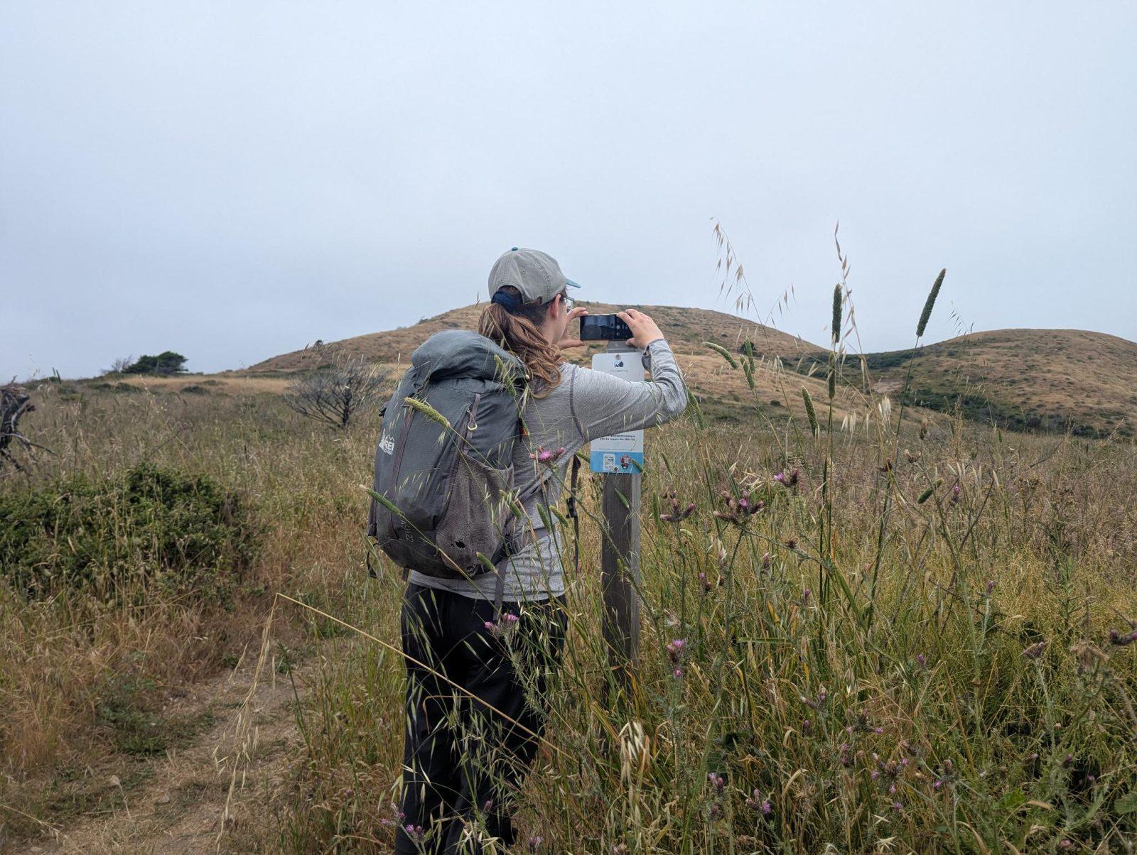
For parks, nature centers, land trusts, schools & more
Give your place a memory.
Each person who stops adds a photo. Together, they show how your site changes.
- Up in an afternoon
- No power or Wi-Fi
- Full-resolution photos and video