2025
2026


2025
2026
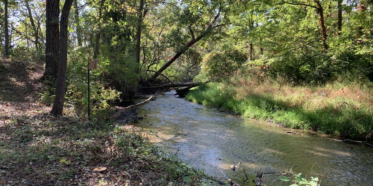
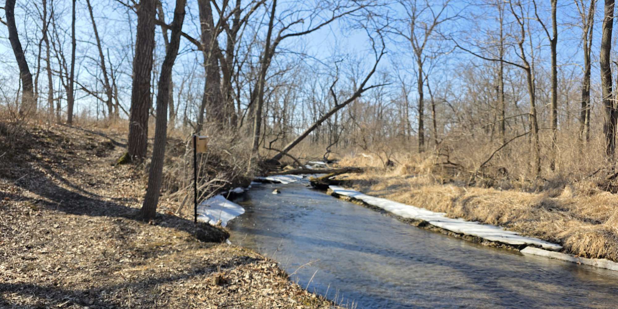
Rob Roy Creek and Floodplain Forest
Managed by Kendall County GIS
Since Sep 2025
In Illinois, US
KEN112
This chronolog combines 22 photos from 16 contributors. Learn more
About this site
The Bureau of Land Management’s 1830’s Land Survey identified the headwaters of Rob Roy Creek emanating from a swampy area and slough (meaning shallow lake) extending northeast as shown. Today, Rob Roy Creek is designated as a “Class A” stream, the highest quality rating from the Illinois Department of Natural Resources. The creek is 10.3 miles long found mostly within Kendall County. Rob Roy Creek runs through Subat Forest Preserve, the District’s River Road Tree Mitigation area, and portions of Silver Springs State Park before confluence with the Fox River at the Farnsworth House estate. Help Chronolog seasonal change, creek levels, and restoration in progress, as the District works to clear this area of invasive species from the stream corridor and surrounding oak woodlands.

About Kendall County Forest Preserve District:
The Kendall County Forest Preserve District is a local government agency within t he State of Illinois dedicated to conserving natural areas and connecting people to nature. The mission of the District is to acquire, preserve, and manage natural areas and open spaces, provide environmental education, and provide recreational opportunities for Kendall County residents. The District currently owns 3,000 acres of land within 21-forest preserve areas. Preserve areas are located primarily along the Fox River and its tributaries, and the Aux Sable Creek. Preserve amenities and services include recreational trails, event venues, overnight campgrounds, picnic shelters, fishing ponds, educational programming, and horsemanship lessons.
For more information, visit http://kendallforest.com
For nature-lovers
Explore chronologs
For organizations
Chronolog is a monitoring tool for parks, nature centers, wildlife organizations, schools, and museums worldwide. With over 100,000 contributors across 300 organizations, Chronolog is on a mission to engage communities with nature while recording important natural changes.
© Chronolog 2026 | Terms