

NAN-106 · British Columbia, CA
Millstone River (East Wellington Park)
72 photos from 43 people · Since May 2021
About this place
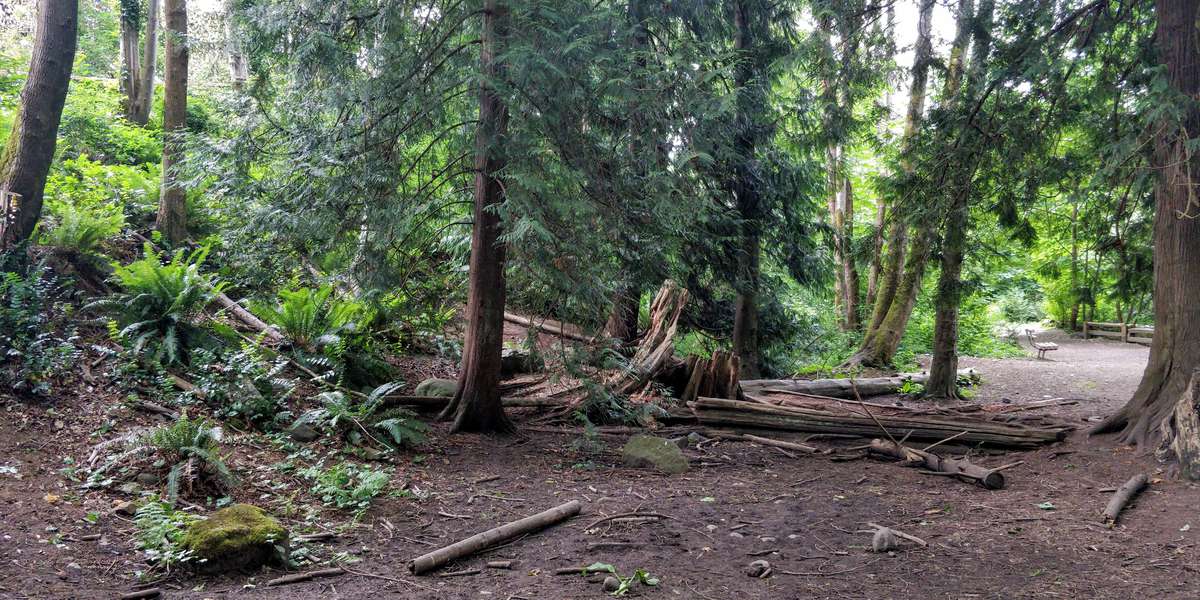
East Wellington Park is a 12.7 ha undeveloped park located along the Millstone River and within the Agricultural Land Reserve. The City has prepared a draft Park Plan that proposes reestablishing the 30 meter riparian setback as well as opening the park to agricultural activity. This plan has not been finalized or presented to Council for adoption.
About City of Nanaimo
The City of Nanaimo is a community of 100,000 residents on the east coast of Vancouver Island, British Columbia. The City has over 1000 Ha of parkland. 70% of it being natural area. The spread of invasive species and the fragmentation of habitat over the years has negatively impacted these spaces. To address this, the City is working with Snuneymuxw First Nation and a variety of community organizations on several environmental restoration projects to increase the ecological diversity of our parks and natural areas.
Visit their website (opens in a new tab)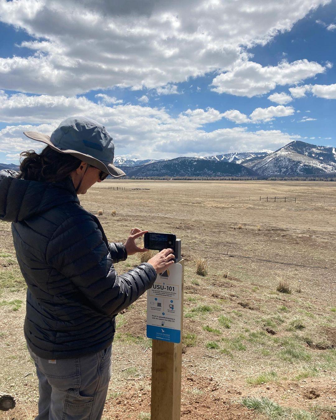
New to Chronolog?
A timelapse made by visitors
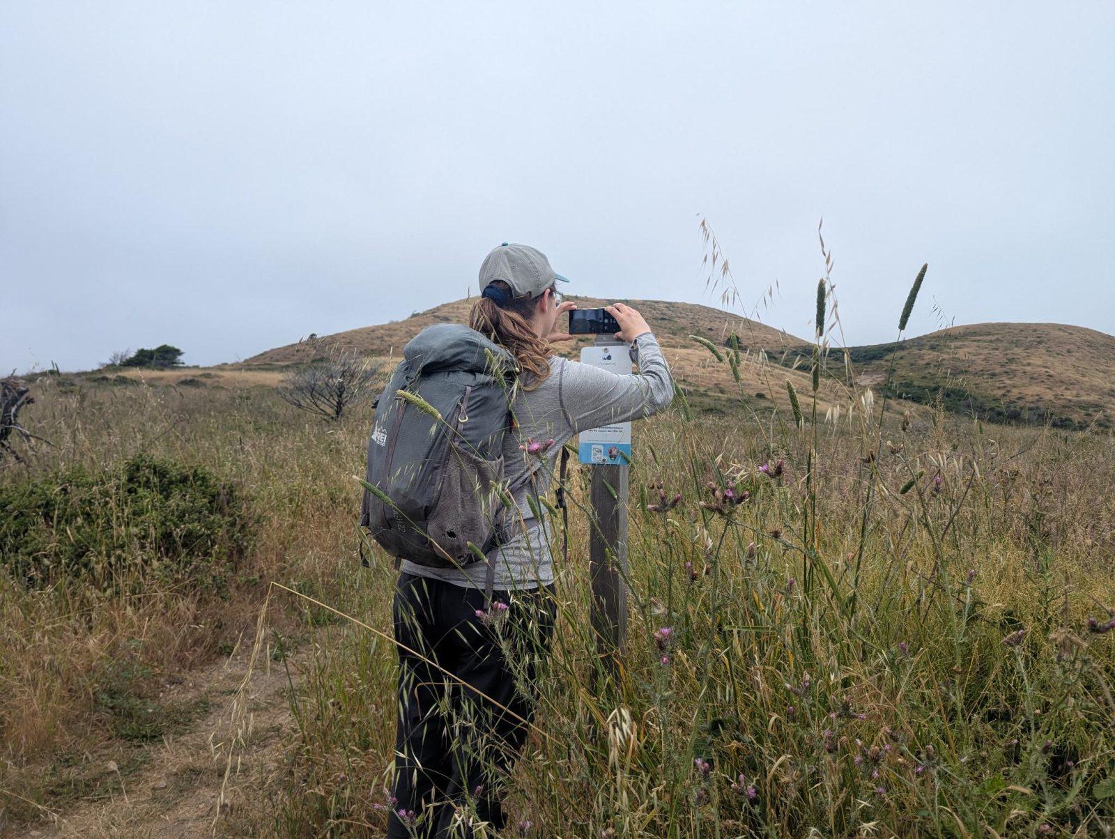
People passing through set their phone in the bracket and take the same photo. We line them all up into one timelapse of this place.
See how it worksVisit
Find this Chronolog
British Columbia, CA · 49.18097, -123.99611
More from City of Nanaimo
Other places they’re watching.



For parks, nature centers, land trusts, schools & more
Give your place a memory.
Each person who stops adds a photo. Together, they show how your site changes.
- Up in an afternoon
- No power or Wi-Fi
- Full-resolution photos and video