Apalachicola National Estuarine Research Reserve
Florida
2 chronologs | 529 contributions
2 chronologs managed by Apalachicola National Estuarine Research Reserve
About Apalachicola National Estuarine Research Reserve
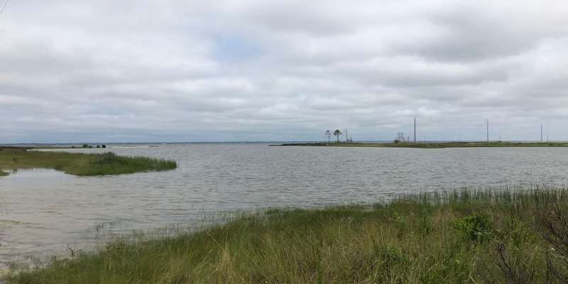
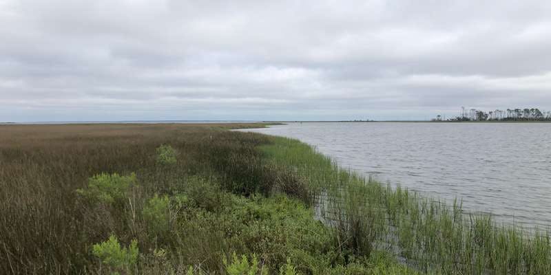
Deep in the shady tupelo and cypress swamps of the floodplain, dark, rich water bleeds into the broader flow of the Apalachicola, a large alluvial river that makes its way to one of the most historically productive estuaries in the northern hemisphere. The Apalachicola National Estuarine Research Reserve, which is one of 29 coastal sites designated to protect and study estuarine systems in the U.S., encompasses over 246,000 acres of public lands and waters in the Florida Panhandle. The Reserve boundary includes 52 miles of the Apalachicola River and its associated floodplain, Apalachicola Bay, a string of unique barrier islands, and several disjunct parcels embedded in the small coastal communities.. To manage the diverse natural communities of the Reserve, there is a similarly diverse group of natural resource managers, scientists and educators who seek to preserve the important biological function of each component. The Reserve, which is supported by both the National Oceanic and Atmospheric Administration and the Florida Department of Environmental Protection, includes programs that focus on research and monitoring, stewardship, environmental education and training for a variety of audiences. Check out our Chronolog stations at Easthole (Unit 4) and Nick’s Hole to help us capture change and activity in both natural and human communities occurring in the Reserve.
For nature-lovers
Explore chronologs
For organizations
Chronolog is a monitoring tool for parks, nature centers, wildlife organizations, schools, and museums worldwide. With over 100,000 contributors across 300 organizations, Chronolog is on a mission to engage communities with nature while recording important natural changes.
© Chronolog 2026 | Terms

