2024
2025
2026


2024
2025
2026
Runaway Farm
Managed by Cape Elizabeth Land Trust
Since 2023
In Maine, US
CET102
This chronolog combines 15 photos from 7 contributors. Learn more
About this site
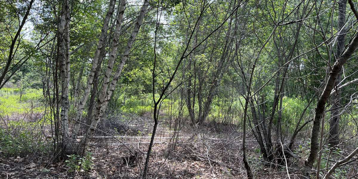
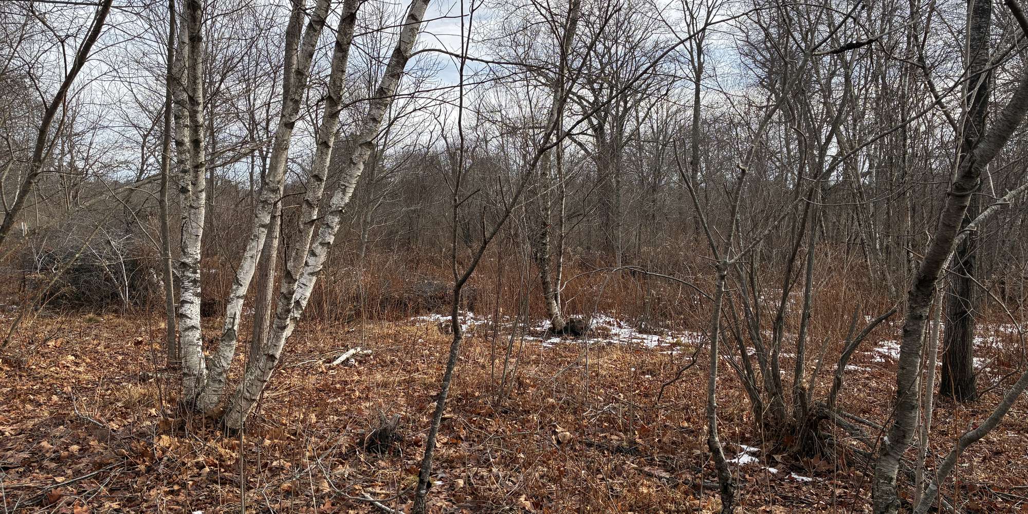
Runaway Farm provides habitat in Cape Elizabeth for the New England Cottontail rabbit, which is endangered in the state of Maine. The forest and field areas with low brush give these rabbits several opportunities to make their homes. Bees, butterflies, and other insects are common in this area, as well as a wide variety of birds, thanks to the lush landscape available onsite.
Photos taken at this observatory site will help to demonstrate what the habitat for New England Cottontails looks like in all four seasons. Conservation efforts are taking shape across the state with research on how to best ensure their protection, so monitoring the habitat they reside in is of utmost importance.
In addition to seasonal changes, this observatory site will capture the ongoing efforts toward stronger ecosystem health of the overall property. When the cottontails were first discovered here, much of the vegetation was dominated by invasive species. CELT has been working to usher the ecosystem toward more native species and richer biodiversity, in both the forested and open field areas. Photos captured here will provide a valuable dataset for future research and reference.
LEARN MORE: This area is owned and protected by Cape Elizabeth Land Trust.
VOLUNTEER: CELT welcomes Volunteers! Learn more here on ways you can get involved.
NEWS & EVENTS: Keep up to date with CELT news and join us at our events.
About Cape Elizabeth Land Trust
The Cape Elizabeth Land Trust maintains five photo monitoring stations to enable citizen science monitoring of environmental changes in our local ecosystems. Through these locations and accompanying education programs, we hope to foster climate change literacy, scientific engagement, and connections to nature in our community. This project began in 2021 with financial support from the Casco Bay Estuary Partnership.

CELT is part of the Momentum Conservation's Climate Change Observatory Network , a photo monitoring program designed to work with environmental organizations and communities to assist with the observation, measurement and documentation of long‐term climate change trends and climate adaptation projects.
For nature-lovers
Explore chronologs
For organizations
Chronolog is a monitoring tool for parks, nature centers, wildlife organizations, schools, and museums worldwide. With over 100,000 contributors across 300 organizations, Chronolog is on a mission to engage communities with nature while recording important natural changes.
© Chronolog 2026 | Terms