
CET-104 · Maine, US
Spurwink Marsh Trail Bridge
535 photos from 189 people · Since May 2021
About this place
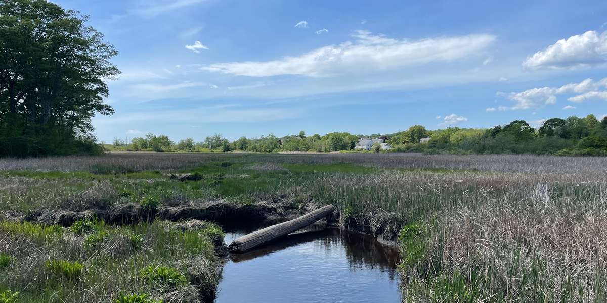
The trail bridge crosses the Spurwink Marsh as a connector between the Town Center Trail and the Gull Crest trail system. The roughly 200-yard span provides a connector between the Town Center Trail and the Gull Crest trail system as well as a close-up view of a tidal salt marsh ecosystem.
From this central lookout point, the marsh stretches east towards Cape Elizabeth High School and west towards Spurwink Marsh and the Town Farm field. The river rises and falls with the tides and is surrounded by salt hay and cattails. Photos taken at this observation site from the bridge will be used to monitor seasonal change in the ecosystem and capture marsh migration as sea levels rise in the coming years.
Learn More about what impacts will sea level rise have on marshes, conserved lands, marine resources, and other nearshore resources.
This bridge is owned and managed by the Town of Cape Elizabeth as a connector between the Town Center Trail and the Gull Crest trail system.
*In 2022 there is a gap in the time lapse photos due to maintenance of the bridge , which was finalized May 2023.
About Cape Elizabeth Land Trust

The Cape Elizabeth Land Trust maintains five photo monitoring stations to enable citizen science monitoring of environmental changes in our local ecosystems. Through these locations and accompanying education programs, we hope to foster climate change literacy, scientific engagement, and connections to nature in our community. This project began in 2021 with financial support from the Casco Bay Estuary Partnership.

CELT is part of the Momentum Conservation's Climate Change Observatory Network, a photo monitoring program designed to work with environmental organizations and communities to assist with the observation, measurement, and documentation of long‐term climate change trends and climate adaptation projects.
New to Chronolog?
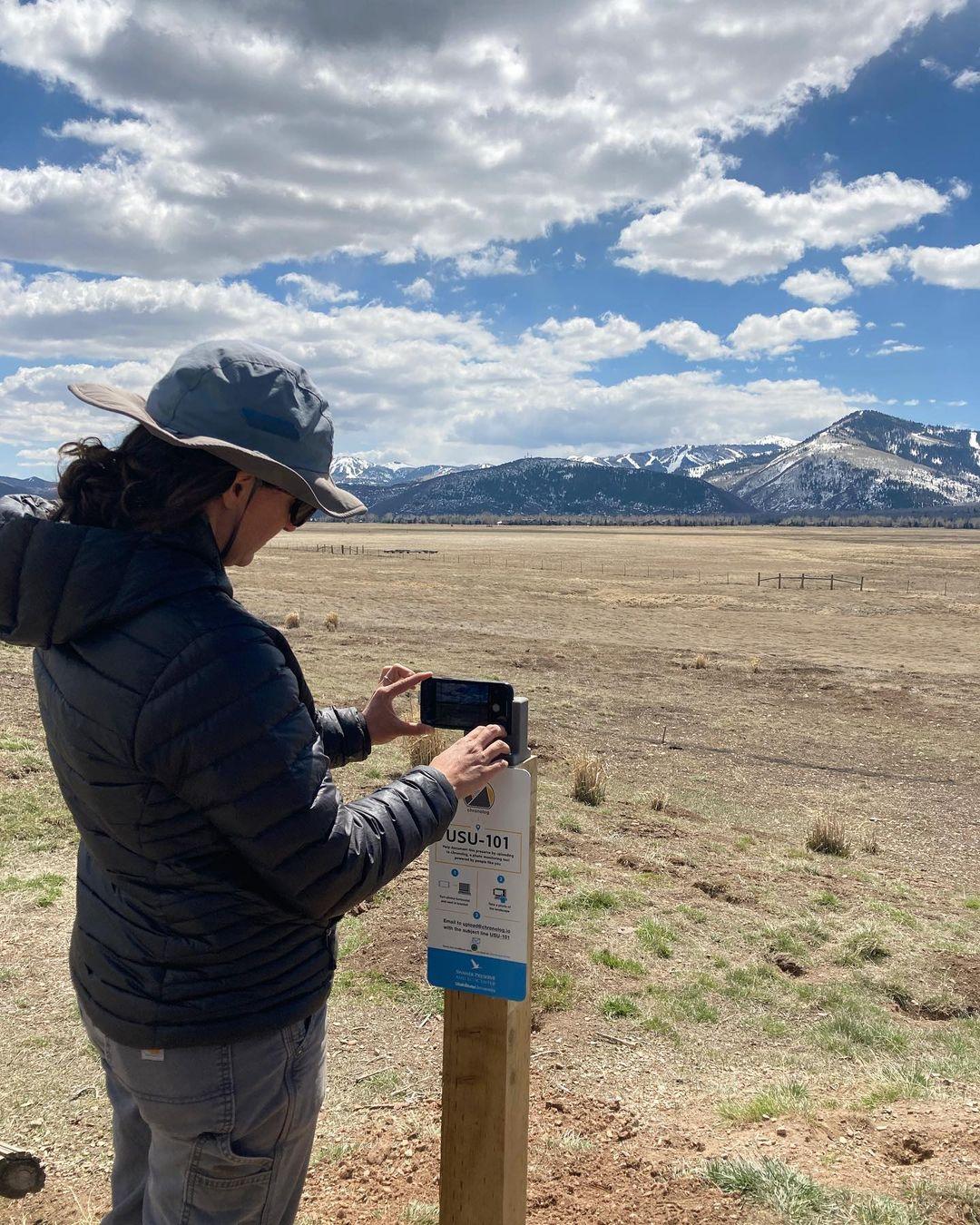
A timelapse made by visitors
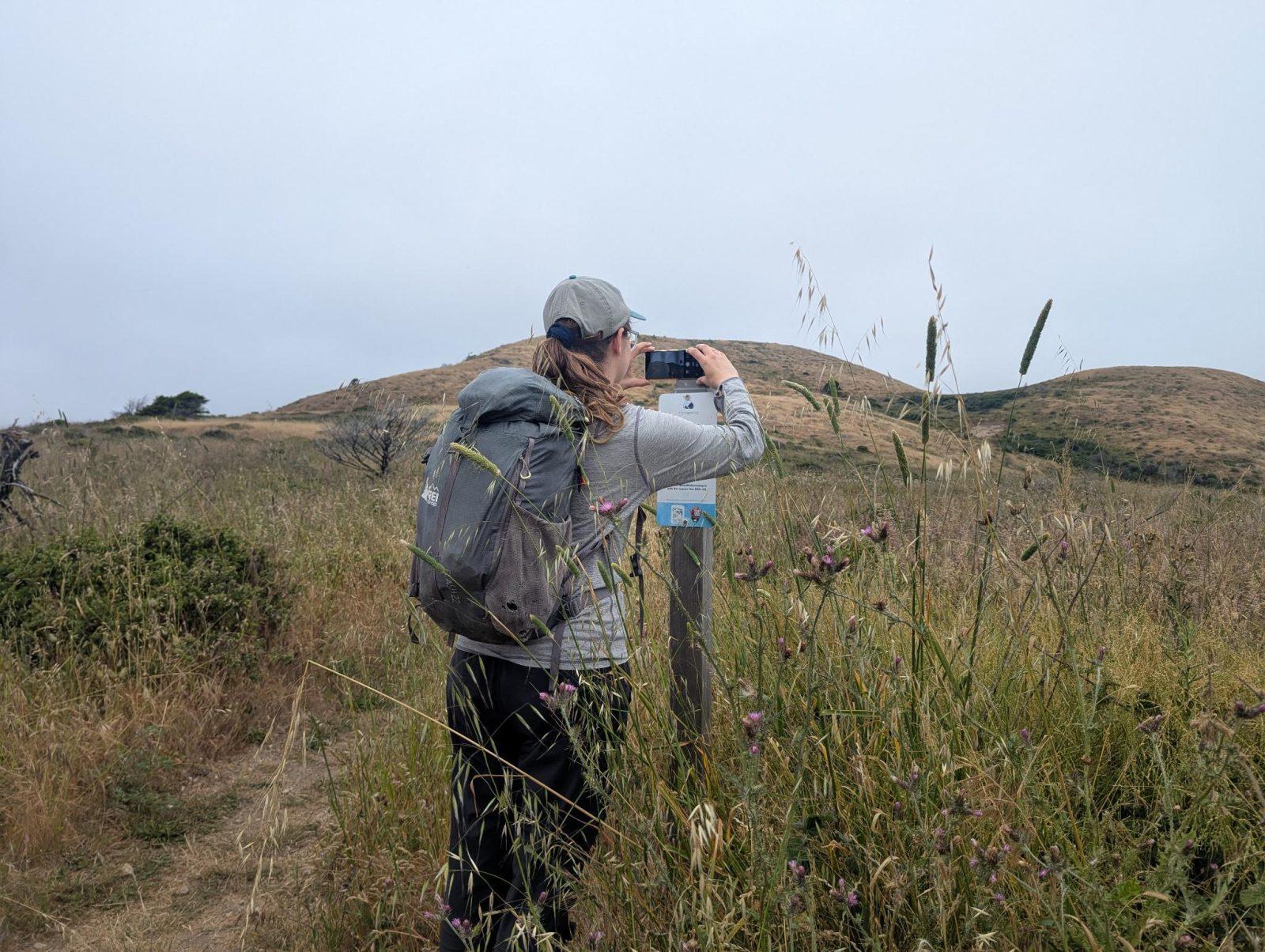
People passing through set their phone in the bracket and take the same photo. We line them all up into one timelapse of this place.
See how it worksVisit
Find this Chronolog
Maine, US · 43.59052, -70.23928
More from Cape Elizabeth Land Trust
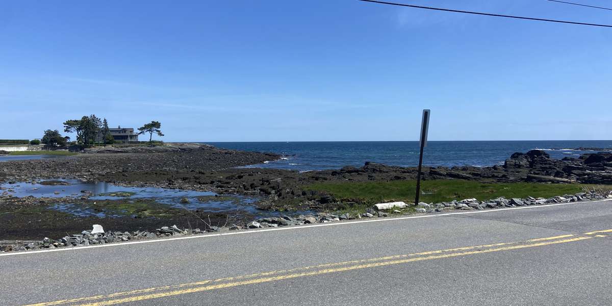
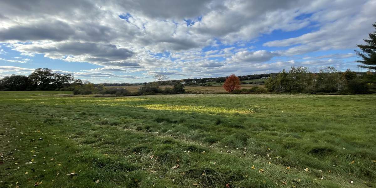
Other places they’re watching.


For parks, nature centers, land trusts, schools & more
Give your place a memory.
Each person who stops adds a photo. Together, they show how your site changes.
- Up in an afternoon
- No power or Wi-Fi
- Full-resolution photos and video