2022
2023
2024
2025


2022
2023
2024
2025
Astorhurst Wetland
Managed by Cleveland Metroparks
Since 2021
In Ohio, US
CMP104
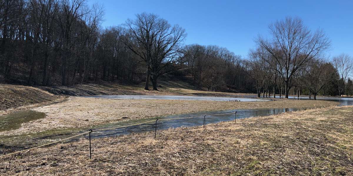
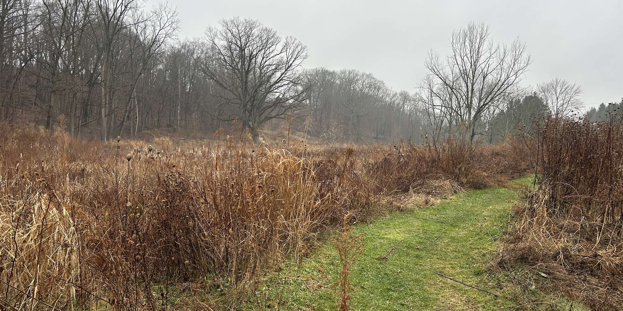
This chronolog combines 142 photos from 53 contributors. Learn more
About this site
Thanks for helping us monitor this golf course restoration. Sitting as it does, just uphill from Tinkers Creek, Astorhurst is an important location for improving water quality in the Tinkers Creek watershed. Restoration work created a wetland uphill from the pond to store additional stormwater when it rains. The wetland and the pond below it both capture water flowing off of the hill above and from storm drains along Dunham Road. By capturing more stormwater, the restoration can help reduce downstream flooding while also improving water quality by filtering contaminants like salt from Dunham Road. Photos from this site will help us monitor the function of this restored wetland. You can also help monitor other sites: Bonnie Park Wetland Restoration, Bonnie Park Dam Removal, Brookside stormwater bioretention, Chagrin River near Jackson Field, Garfield Park pond, and Euclid Creek headwater restoration at Acacia Reservation. This site is not yet ADA accessible.
About Cleveland Metroparks
We manage over 24,000 acres around the city of Cleveland, Ohio, USA. As we restore habitat, we need help capturing images of how the site changes, to see if it is functioning as intended. We would love your help taking pictures at these sites where recent restoration work has occurred.
For nature-lovers
Explore chronologs
For organizations
Chronolog is a monitoring tool for parks, nature centers, wildlife organizations, schools, and museums worldwide. With over 100,000 contributors across 300 organizations, Chronolog is on a mission to engage communities with nature while recording important natural changes.
© Chronolog 2026 | Terms