2020
2021
2022
2023
2024
2025
2026


2020
2021
2022
2023
2024
2025
2026
Four Mile Run Park
Managed by City of Alexandria, Park Operations
Since Mar 2019
In Virginia, US
COA101
This chronolog combines 296 photos from 146 contributors. Learn more
About this site
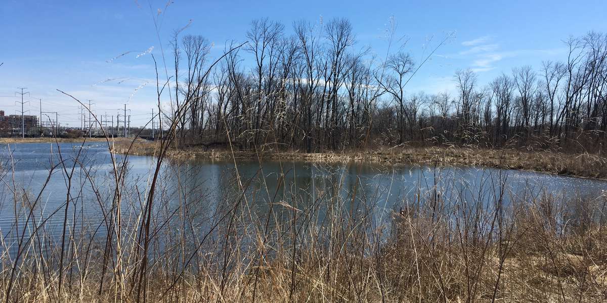
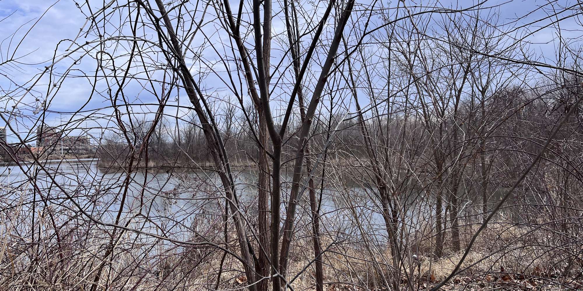
In May 2016, the City of Alexandria completed the Tidal Restoration Demonstration Project to restore the banks of the shoreline and wetlands in the channelized portion of Four Mile Run, from Mt. Vernon Avenue to Route 1. A major objective was to reestablish the vegetation that once lined the stream and existed in the lowland wetlands areas but has since disappeared or been colonized by invasive species. The Four Mile Run Wetlands Restoration plays a prominent role in regional efforts to protect the Potomac River basin and the endangered Chesapeake Bay by restoring the natural cycles and diversity of habitat to support a variety of life in and along these waterways. The Restoration project restored the historic 2-acre tidal wetland where the water levels fluctuate with the daily tidal cycle along Four Mile Run. Wetlands were once common along all the tidal tributaries and protected shorelines of the Potomac River, but many tidal wetlands have been lost to urban and suburban shoreline development. The upland trail serves as a buffer between the tidal wetland and the existing forested wetland. Wetlands are important to both wildlife and humans and provide a connection between aquatic and terrestrial habitats that is important to fish and aquatic organisms as well as many birds and terrestrial animals. Tidal wetlands are important nurseries and foraging areas for fish, waterfowl and other birds, reptiles and mammals. Wetlands also benefit humans by improving water quality and storing floodwaters. Tidal wetlands can be divided into different plant zones based on fluctuating water depths. This created wetland includes a low marsh zone and a high marsh zone and is surrounded by an upland meadow. Low Marsh The low marsh zone is typically flooded for more than ½ of the day by water up to several feet deep. This extensive inundation limits the diversity of plants that can grow in this zone. Common low marsh plants, such as the yellow pond-lily (Nuphar advena) and the arrow arum (Peltandra virginica), provide cover for juvenile and adult fish and other aquatic species. The ten-foot tall, emergent grass, wild rice (Zizania aquatica), was an important food crop for Native Americans and remains an important food source for water fowl. The prolonged and deep inundation by tidal waters allows the low marsh vegetation to take up nutrients and trap sediments from the flood waters. High Marsh The high marsh is flooded less than ½ the day by water that is typically less than one-foot deep. The vegetation community is composed of many species that form a dense cover. Grasses, sedges and rushes, such as rice cut grass (Leersia oryzoides), soft rush (Juncus effusus), woolgrass (Scirpus cyperinus) and three-square (Schoenoplectus pungens) are common in the high marsh, as are forbs such as rose mallow (Hibiscus laevis), broadleaf arrowhead (Sagittaria latifolia), and swamp milkweed (Asclepias incarnata). The diverse plant community provides habitat to many insects, amphibians, birds and other animals. The high marsh is not inundated for long periods, but the dense vegetation is efficient at capturing sediments and pollutants from floodwaters. Upland Meadow The upland meadow is a perennial herb community that is not regularly flooded. It provides terrestrial habitat utilized by many of the same species that live in the wetland; frogs forage in the meadow and turtles nest here. A mix of grass species and flowering herbs, such as black-eyed Susan (Rudbeckia hirta) and goldenrods (Solidago spp.), provide foraging and nesting habitat for many song birds and provide nectar and act as larval hosts for native pollinators while providing cover habitat for other wildlife. The meadow vegetation also provides soil stabilization and erosion control. The City also renovated the parking lot at Mount Vernon Avenue. The parking lot renovation included twenty marked parking spaces on permeable pavers, a turnaround for drop-off and pick up, a rain garden and additional trees.
About City of Alexandria, Park Operations
Chronolog stations have been established at three parks in the City of Alexandria: Four Mile Run Park, Ben Brenman Park, and Dora Kelley Nature Park. Each site features a view of a valuable natural area, two of which have been recently restored to natural habitats. Four Mile Run Park features a tidal restoration project that was completed in May 2016. Ben Brenman park features an ongoing meadow restoration project using natural succession. Dora Kelley Nature Park features an impoundment wetland. By uploading photos to the Chornolog site, visitors help us monitor these sites. Your photos can help inform site management and are a great tool to view changes at the sites through the seasons and years. To learn more about Park in the City of Alexandria, please visit the Park Operations website listed below.
For nature-lovers
Explore chronologs
For organizations
Chronolog is a monitoring tool for parks, nature centers, wildlife organizations, schools, and museums worldwide. With over 100,000 contributors across 300 organizations, Chronolog is on a mission to engage communities with nature while recording important natural changes.
© Chronolog 2026 | Terms