
CRW-106 · Florida, US
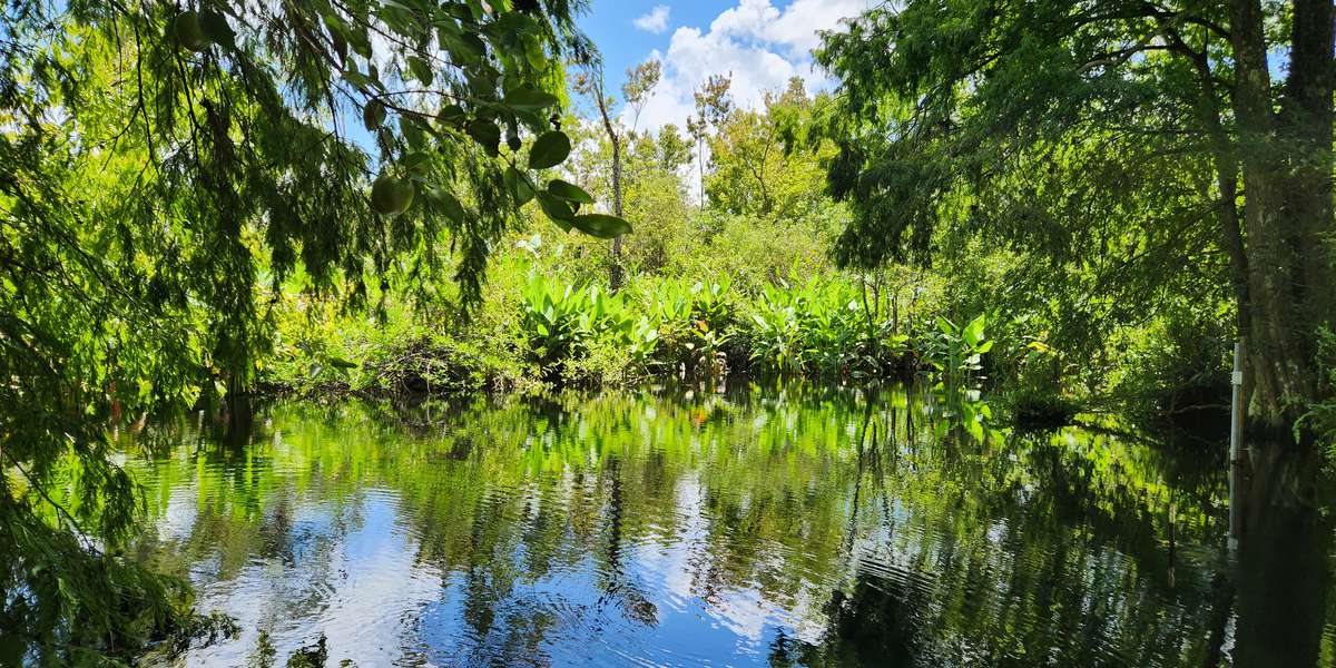
CREW Bird Rookery Swamp - Bridge
By Corkscrew Regional Ecosystem Watershed
52 photos from 25 people · Since Jul 2024
About this place
This wooden bridge was completed in 2022, replacing a much older beam bridge constructed with side-by-side spans hewn from logged cypress that was designed to accommodate vehicles more than foot traffic.
The water under this bridge is flowing into the center of CREW Bird Rookery Swamp from Audubon’s Corkscrew Swamp Sanctuary just north of here. Some refer to this canal as the “heartbeat” of CREW Bird Rookery Swamp because it delivers the very lifeblood of its swamps and marshes, refreshing water needed to maintain essential habitats for plants and animals.
About Corkscrew Regional Ecosystem Watershed
The CREW Land & Water Trust is a private, non-profit conservation organization dedicated to the preservation and stewardship of the water resources and natural communities in and around the Corkscrew Regional Ecosystem Watershed (CREW).
CREW is the largest intact watershed in Southwest Florida, straddling Lee and Collier Counties.
What does this unique watershed do for Southwest Florida?
- Recharges the groundwater for our drinking water supply
- Offers natural flood protection
- Purifies water
- Provides habitats for wildlife
- Offers a beautiful space for public recreation
We carry out our mission statement by coordinating the land acquisition, land management, and public use of this 70,000-acre watershed in partnership with the South Florida Water Management District, which owns a significant amount of CREW and manages that land – including the CREW trail systems, and the Florida Fish & Wildlife Conservation Commission , which monitors wildlife and hunting and provides law enforcement. Other partners include Conservation Collier and Lee County's Conservation 20/20 .
New to Chronolog?
A timelapse made by visitors
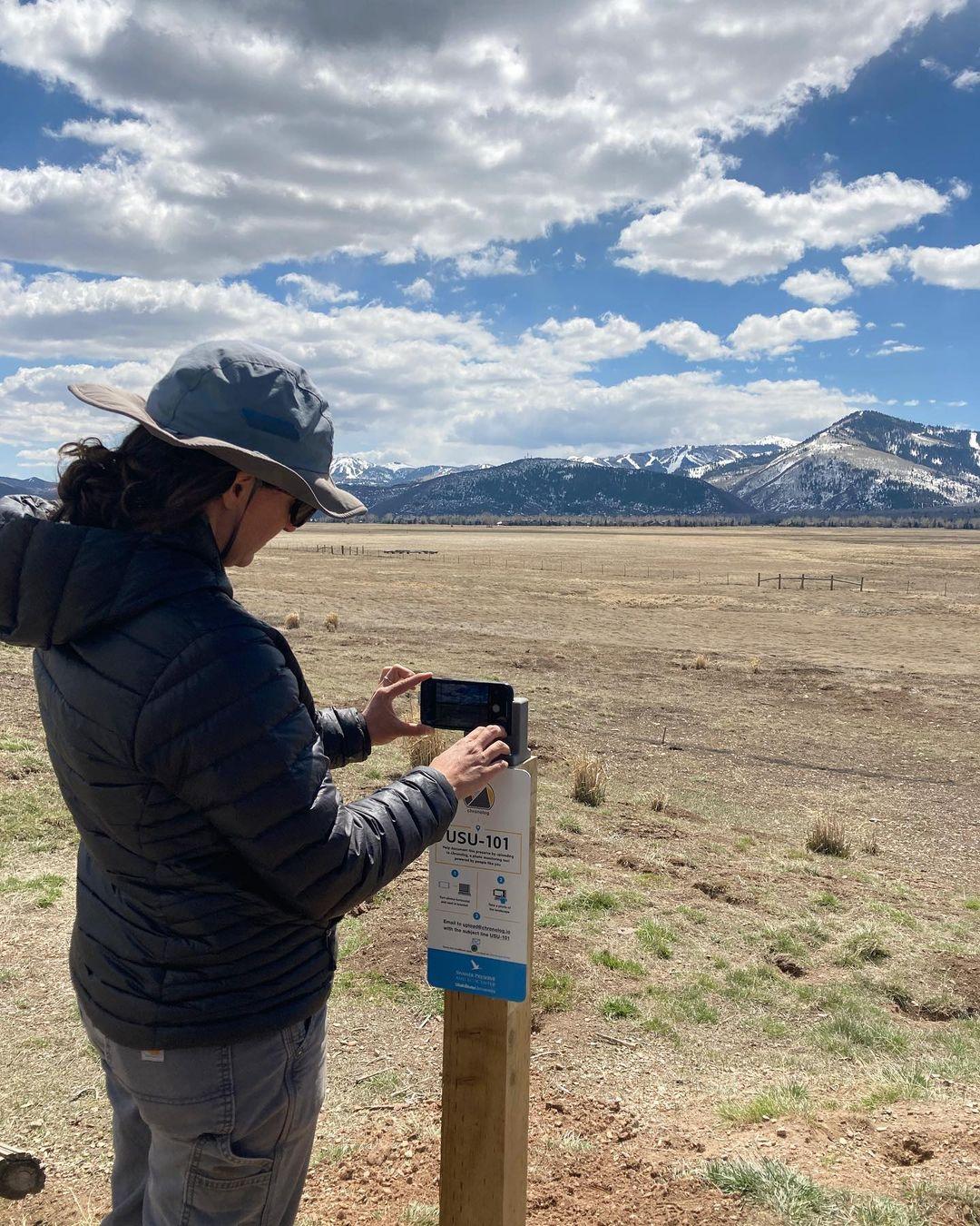
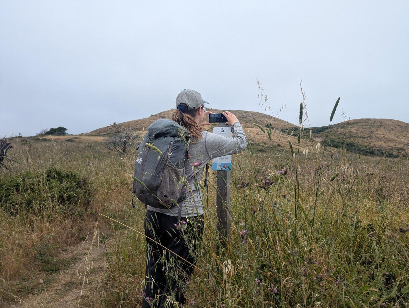
People passing through set their phone in the bracket and take the same photo. We line them all up into one timelapse of this place.
See how it worksVisit
Find this Chronolog
Florida, US · 26.35323, -81.61903
More from Corkscrew Regional Ecosystem Watershed
Other places they’re watching.


For parks, nature centers, land trusts, schools & more
Give your place a memory.
Each person who stops adds a photo. Together, they show how your site changes.
- Up in an afternoon
- No power or Wi-Fi
- Full-resolution photos and video