2022
2023
2024
2025


2022
2023
2024
2025
Chicopee Lake Watershed Monitoring
Managed by Elachee Nature Science Center
May 2022 - May 2025
In Georgia, US
ELA101
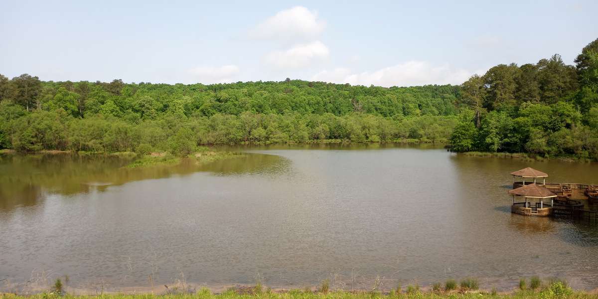
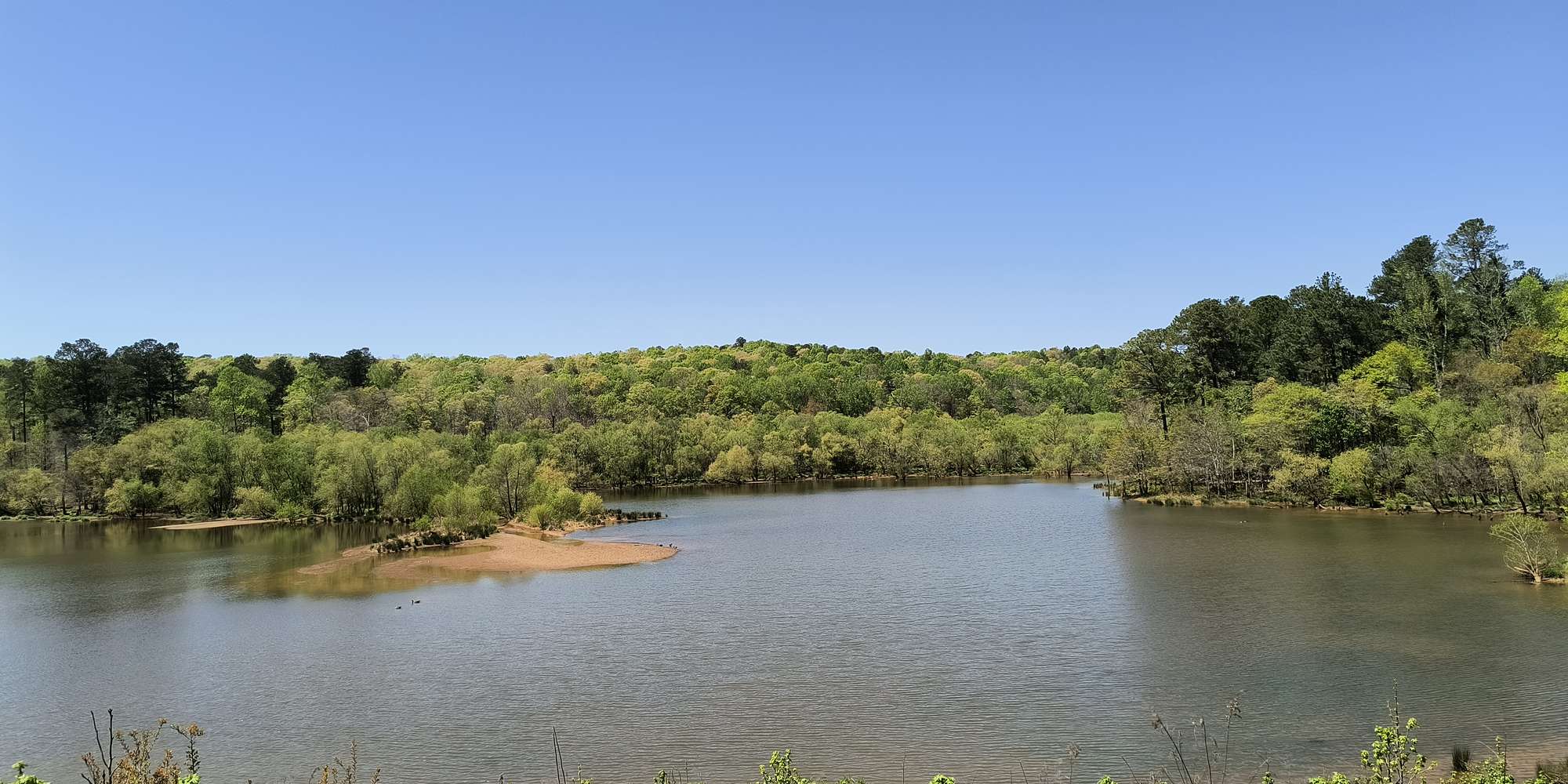
This chronolog combines 232 photos from 73 contributors. Learn more
About this site
This Chronolog Photo Monitoring Station is aimed at checking the wetland line around Chicopee Lake over time, specifically for flood zone areas and wildlife impacts at high water table times. We appreciate all photos taken that aid us in the Conservation efforts to keep Chicopee Lake a pristine wildlife area for our local flora and fauna.
About Elachee Nature Science Center
Our Vision
For Sustainability
Elachee seeks to instill an appreciation, understanding and concern for the natural world by fostering an interest in personal commitment to preserving our natural resources and the environment for future generations to enjoy.
Elachee will become a national, model environmental education center of excellence building an environmentally literate society capable of sustaining a healthy world for all living things by:
- Integrating environmental education into all learning;
- Offering substantive programs and exhibits;
- Reaching larger, diverse audiences; and
- Managing the Chicopee Woods Nature Preserve.
For nature-lovers
Explore chronologs
For organizations
Chronolog is a monitoring tool for parks, nature centers, wildlife organizations, schools, and museums worldwide. With over 100,000 contributors across 300 organizations, Chronolog is on a mission to engage communities with nature while recording important natural changes.
© Chronolog 2026 | Terms