2021
2022
2023
2021
2022
2023
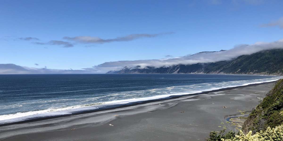
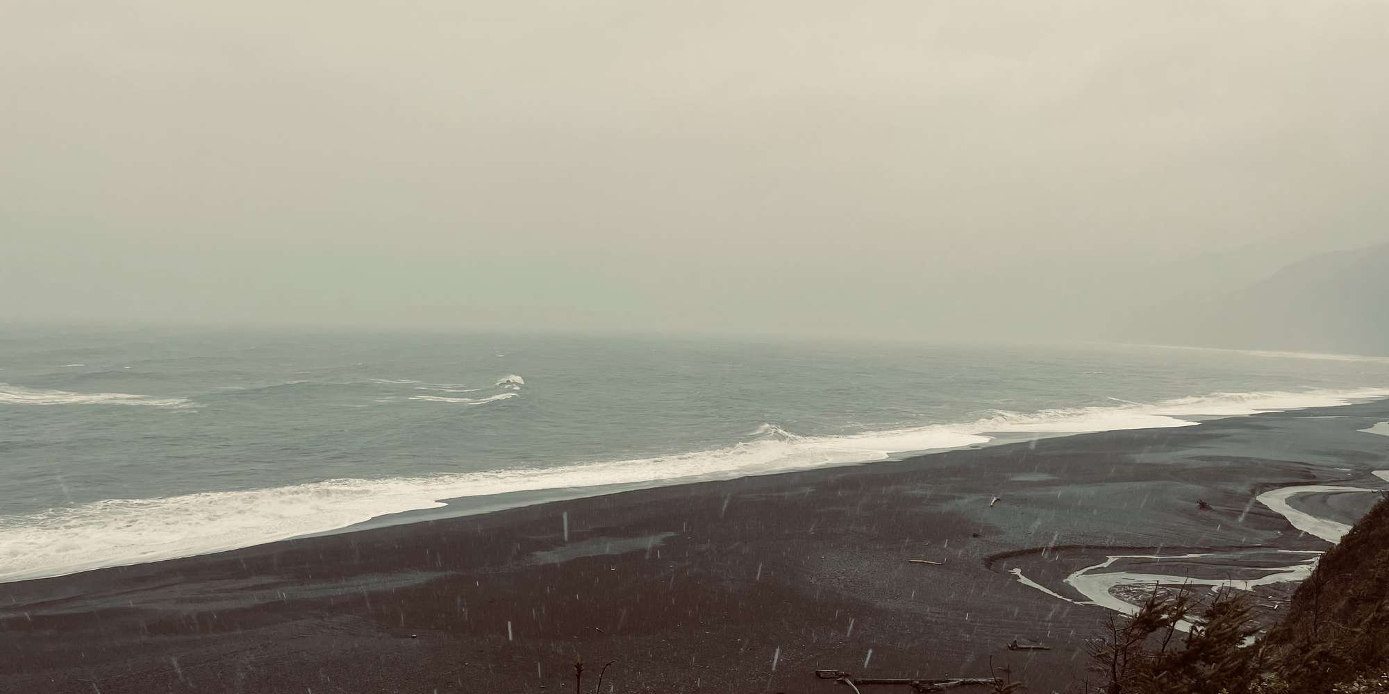
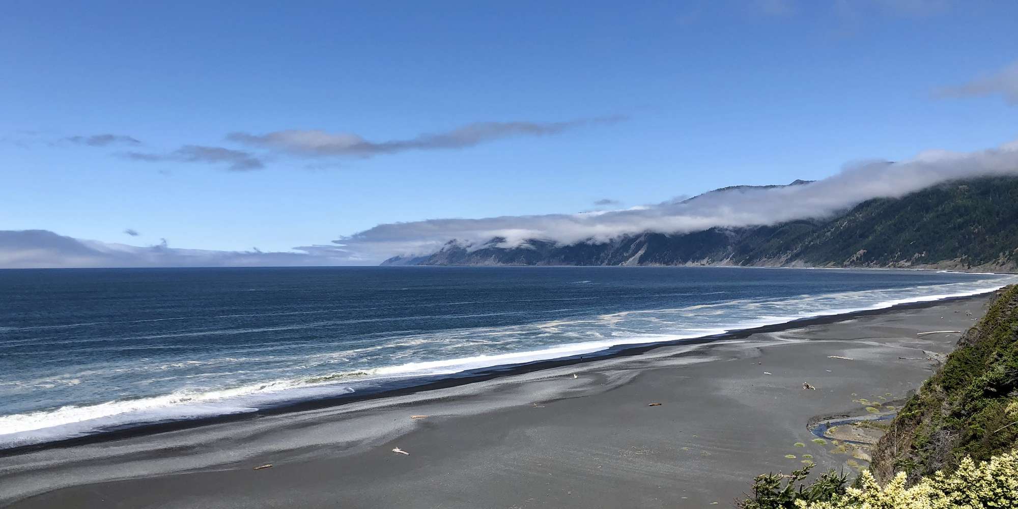
Black Sands Beach
Managed by King Range National Conservation Area
Sep 2021 - Jan 2023
In California, US
KRC102
This chronolog combines 92 photos from 86 contributors. Learn more
About this site
Black Sands Beach, located in Shelter Cove CA, marks the southern terminus of the most well-known section of the world famous Lost Coast Trail. From the overlook visitors are treated to what is widely considered to be the most iconic view of the Lost Coast. On clear days an expansive view of eighteen miles of rugged and diverse coastal landscape can be seen stretching north to the horizon. Hammered by winter storms of up to forty-foot waves and two-hundred inches of rainfall, the beaches, creeks, bluffs, forests, and prairies are in constant flux.
About King Range National Conservation Area
The King Range National Conservation Area (NCA) is a spectacular meeting of land and sea as mountains thrust straight out of the surf with King Peak (4,088 feet) only 3-miles from the ocean. The King Range NCA encompasses 68,000 acres along 35 miles of California’s north coast. The landscape was too rugged for highway building, giving the remote region the title of California’s Lost Coast. It is the Nation's first NCA, designated in 1970.