2024
2025


2024
2025
Pondicherry Park
Managed by Loon Echo Land Trust
Since 2023
In Maine, US
LET102
This chronolog combines 350 photos from 187 contributors. Learn more
About this site
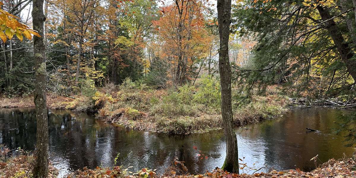
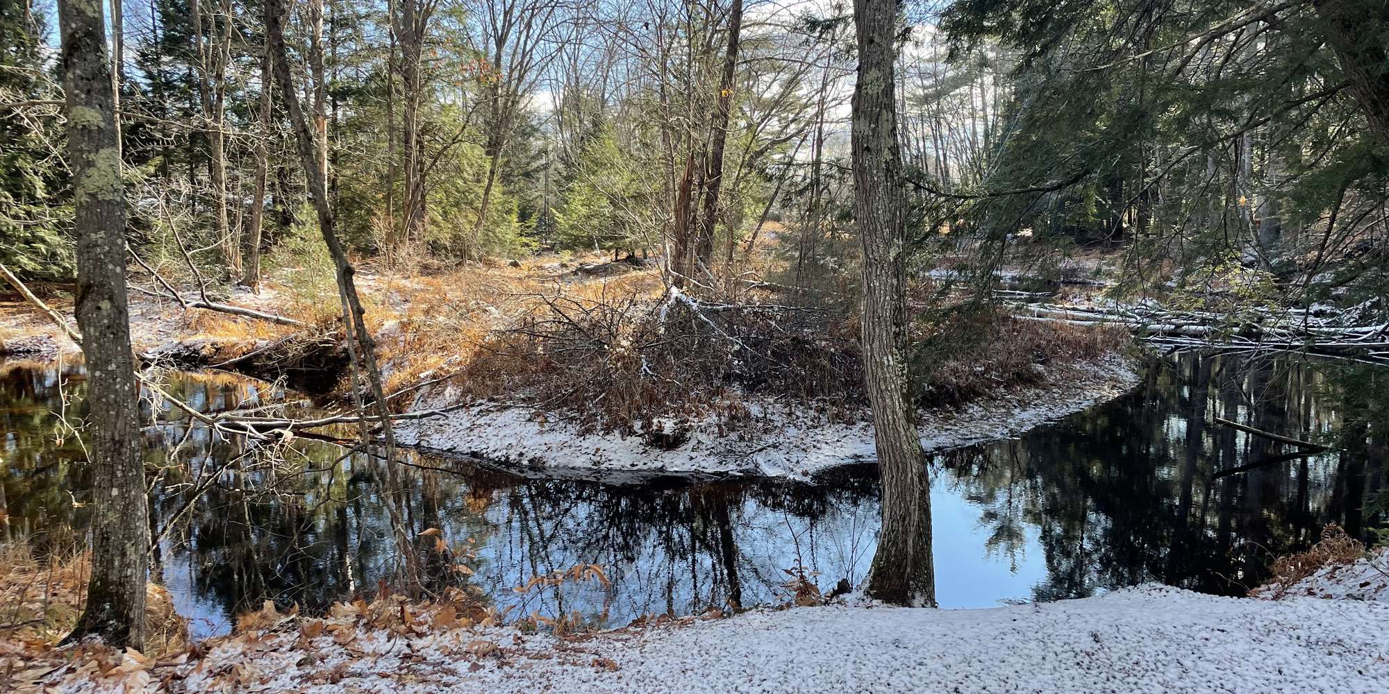
Photos taken at this observation post in Pondicherry Park will help Loon Echo Land Trust monitor changes in the river and river bank, and keep track of invasive plants on the far bank.
Pondicherry Park is 66 acres of woodlands, fields, streams, and wetlands with many trails of varying difficulty. The Town of Bridgton owns the land, Loon Echo Land Trust holds a conservation easement on Pondicherry Park to ensure its natural resources are protected in perpetuity.
The trail has a packed gravel surface, gradual slopes, rest areas to pull off into, a few benches (more will be added), and is six feet wide at its narrowest point. There are two main entrances - one from the Depot Street/Bob Dunning Bridge side and one from Willett Road; one-way length is 0.7 miles and you will wind your way through a number of forest types along portions of Stevens & Willett Brooks. The trail is also accessible by public transportation - the Lake Region Explorer (part of the Regional Transportation Program) travels between Portland and Bridgton (with many stops along the way) and will drop you off at the Bridgton Community Center, just across the parking lot from the trailhead.
About Loon Echo Land Trust
Loon Echo Land Trust is a non-profit organization that protects land in the Lake Region of Maine to conserve its natural resources and character for current and future generations. To date, LELT conserves 8,500 acres of land and maintains and protects public access to many iconic outdoor spaces such as Pleasant Mountain, Hacker's Hill, and ald Pate Mountain. In addition to protecting land, LELT maintains over 30 miles of recreational trails and hosts a variety of guided hikes and educational programs throughout the year.

Loon Echo Land Trust is part of the Momentum Conservation's Climate Change Observatory Network , a photo monitoring program designed to work with environ mental organizations and communities to assist with the observation, measurement and documentation of long-term climate change trends, and climate adaptation projects.
For nature-lovers
Explore chronologs
For organizations
Chronolog is a monitoring tool for parks, nature centers, wildlife organizations, schools, and museums worldwide. With over 100,000 contributors across 300 organizations, Chronolog is on a mission to engage communities with nature while recording important natural changes.
© Chronolog 2026 | Terms