2025
2026


2025
2026
River's Edge Natural Area
Managed by City of Loveland
Since Jan 2025
In Colorado, US
LOV101
This chronolog combines 88 photos from 51 contributors. Learn more
About this site
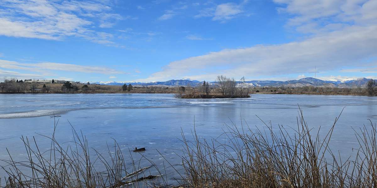
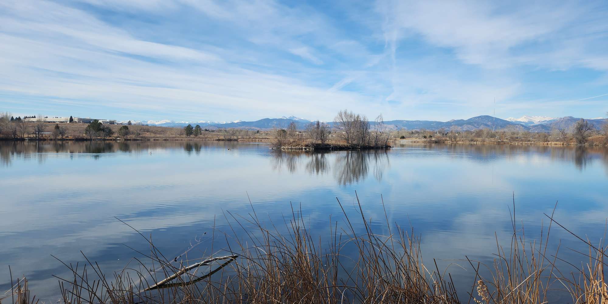
River's Edge Natural Area provides excellent recreational opportunities for fishing, hiking, bicycling, wildlife viewing, and environmental education. The site’s five ponds have been restored from past gravel mining activity and as restoration continues both naturally and by Loveland Open Lands’ strategic revegetation efforts, photos from visitors help document the changes at Bass Pond over time using chronolog, an online photo monitoring tool.
River’s Edge is an urban oasis, consisting of 163 acres in the center of Loveland along the Big Thompson River corridor. The property was purchased in 2011 and later developed for public access with picnic shelters, a wetland boardwalk, fishing access points, two ADA-accessible fishing docks, and an outdoor amphitheater. More than 5 miles of soft-surface trails offer ample opportunities to explore the site and connect with nearby neighborhoods and the Loveland Loop Trail. The 2013 Big Thompson flood decimated much of the natural area, including public amenities and natural habitat. Facilities were rebuilt and numerous enhancement projects over the years have included removal of invasive Russian olive trees, control of noxious weeds, planting of pollinator habitat and other native vegetation, creation of fish habitat in the ponds, and the installation of an osprey nesting platform. River’s Edge provides a variety of habitats, offering food, cover and nesting sites for songbirds, raptors, waterfowl, mammals, herptiles, fish, and invertebrates.
About City of Loveland
The City of Loveland Open Lands & Trails program has conserved over 5,000 acres of open space in and around Loveland. In 1995, the citizens of Larimer County approved the 1/4-cent Help Preserve Open Space sales tax to protect open space, natural areas, wildlife habitat, regional parks and trails. In 2014, voters overwhelmingly supported the extension of the tax until 2043. Eighteen natural areas and open lands are open to the public, with more than 50 miles of paved and natural-surface trails throughout the community.
For nature-lovers
Explore chronologs
For organizations
Chronolog is a monitoring tool for parks, nature centers, wildlife organizations, schools, and museums worldwide. With over 100,000 contributors across 300 organizations, Chronolog is on a mission to engage communities with nature while recording important natural changes.
© Chronolog 2026 | Terms