

MLS-102 · North Carolina, US
Wetland - Lower Boardwalk 1
By The Museum of Life and Science
1,133 photos from 1,031 people · Since Nov 2019
About this place
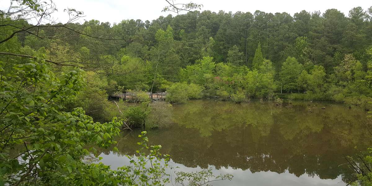
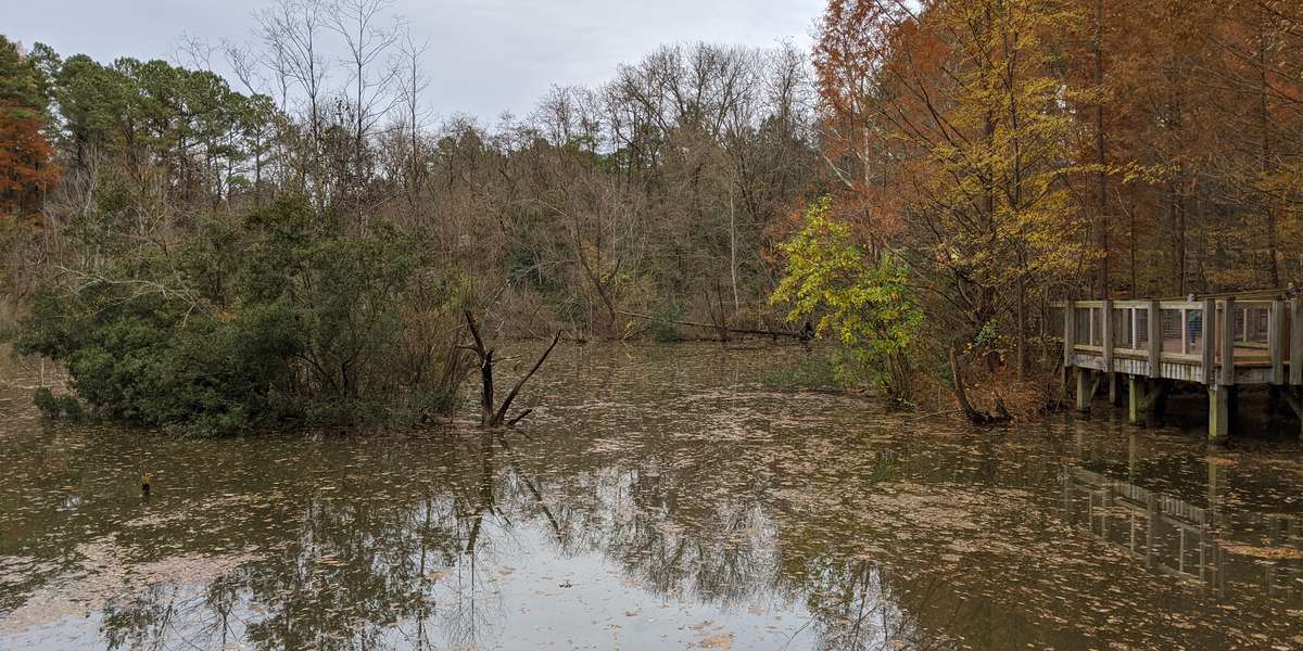
A boardwalk trail runs through this wetland habitat. The water quality changes dramatically with rainfall, seasonal plant growth, and the activity of the invasive red swamp crayfish. Once a quarry pit, this wetland is now a thriving urban habitat with over 130 plant and animal species.
About The Museum of Life and Science
An urban wetland sits at the heart of the Museum of Life and Science’s Explore the Wild exhibit. This site was once a quarry pit for mining gravel. When the quarry was abandoned in the 1930’s, water filled the pit, and plants and animals began to move in. The wetland now filters stormwater as it flows from the nearby city into Ellerbe Creek. Notice seasonal changes in plant life, water level, and water quality. Watch the wetland grow over time as nature reclaims this human-altered habitat.
Visit their website (opens in a new tab)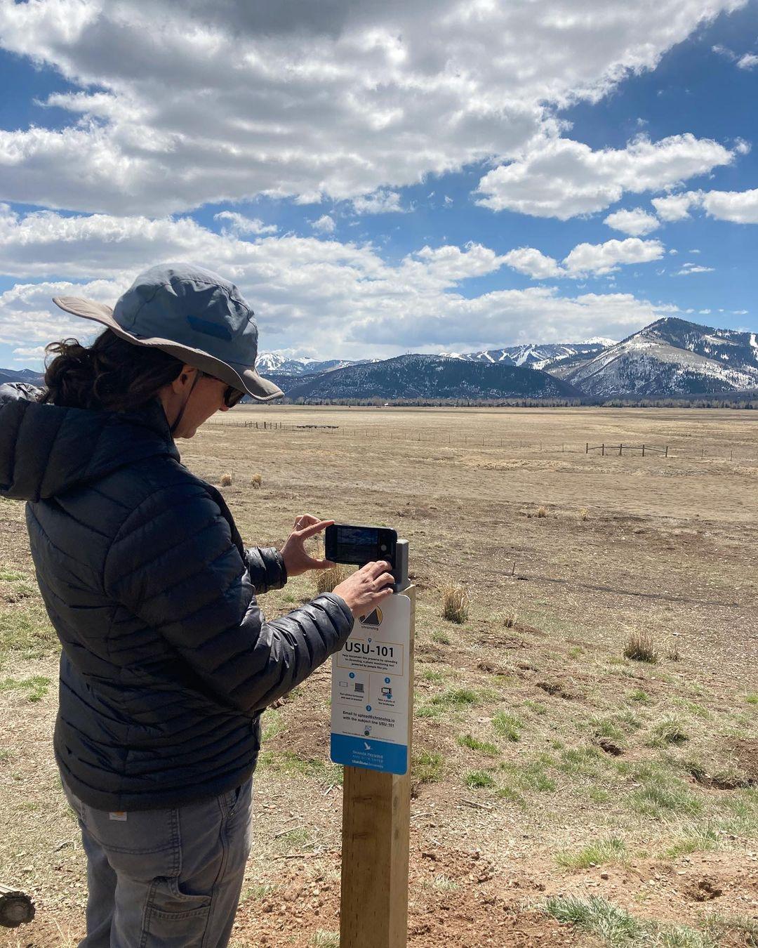
New to Chronolog?
A timelapse made by visitors
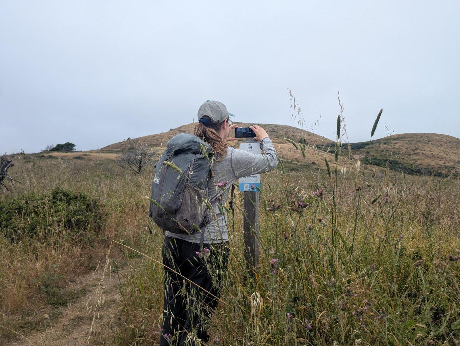
People passing through set their phone in the bracket and take the same photo. We line them all up into one timelapse of this place.
See how it worksVisit
Find this Chronolog
North Carolina, US · 36.03159, -78.89658
More from The Museum of Life and Science
Other places they’re watching.
For parks, nature centers, land trusts, schools & more
Give your place a memory.
Each person who stops adds a photo. Together, they show how your site changes.
- Up in an afternoon
- No power or Wi-Fi
- Full-resolution photos and video