2022
2023
2024
2025
2026


2022
2023
2024
2025
2026
Burnt Fork Creek
Managed by Mason Mill Park
Since Apr 2021
In Georgia, US
MMP102
This chronolog combines 595 photos from 477 contributors. Learn more
About this site
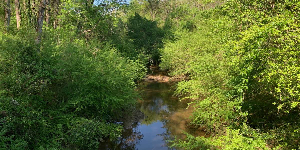
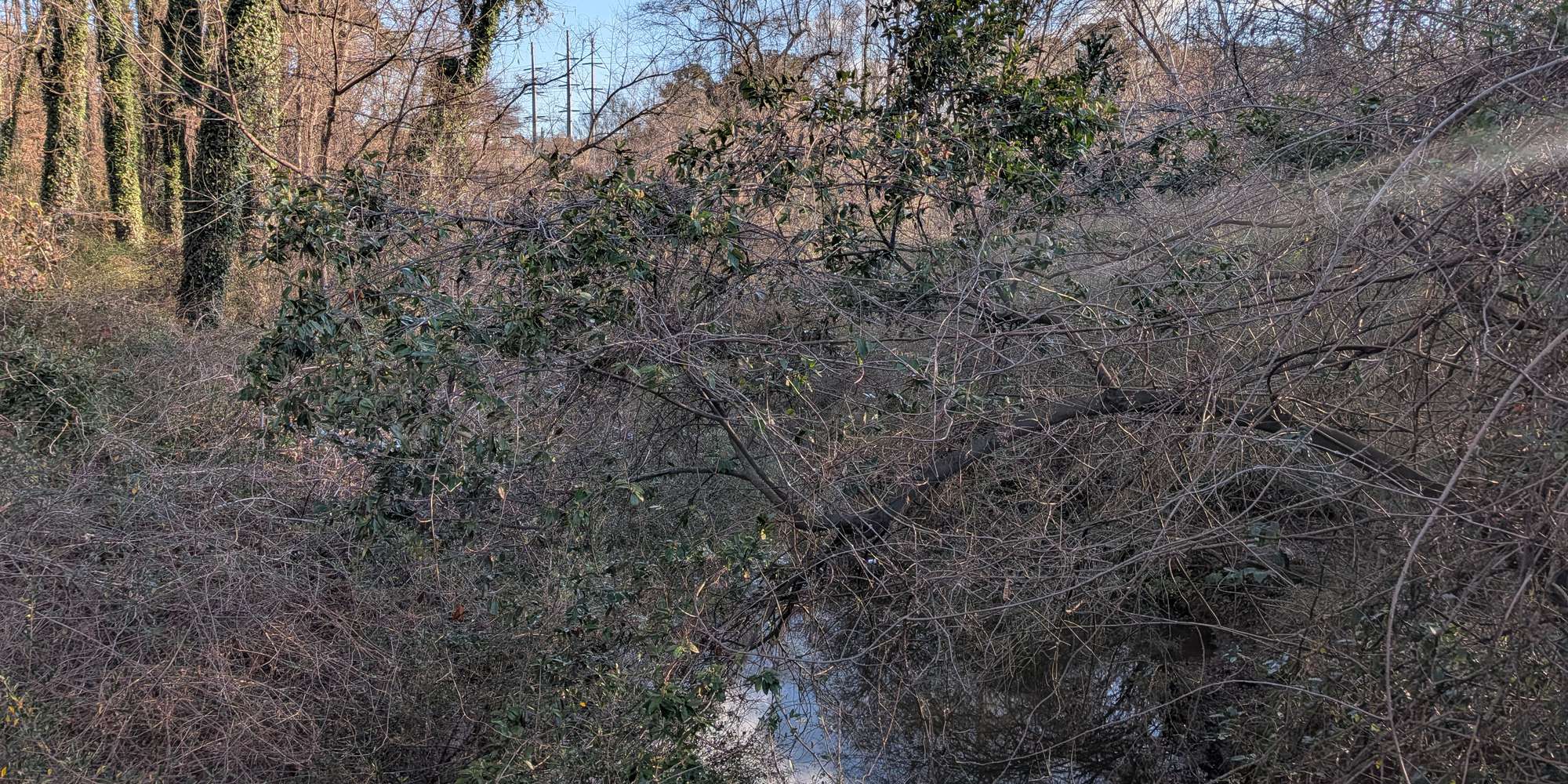
Burnt Fork Creek is one of this DeKalb neighborhood's important waterways. Home to a diverse population of birds, reptiles, fish, amphibians, and mammals, this Chronolog timelapse documents changes in season and water flow throughout the year. This is also the location of an ongoing beaver dam project. Mason Mill's beavers work tirelessly to block Burnt Fork with sticks and mud about 50 feet upstream from this bridge. Help us keep a record of their work - and of the times when flooding washes away their dam.
About Mason Mill Park
DeKalb County Department of Recreation, Parks and Cultural Affairs provides opportunities for nature education and recreation for all DeKalb residents. Mason Mill Park contains a 120-acre forest with a network of some of the nicest hiking and biking trails in the county. The South Peachtree Creek Trail is a multi-use boardwalk and paved route that connects Mason Mill Park, Medlock Park, the Leafmore neighborhood, and Emory University. A network of soft surface trails also provides miles of hiking opportunities within Mason Mill, Ira B. Melton, and Medlock Parks. The three Chronolog photo stations along the South Peachtree Creek Trail invite citizens to help document changes in the park throughout the year.
For nature-lovers
Explore chronologs
For organizations
Chronolog is a monitoring tool for parks, nature centers, wildlife organizations, schools, and museums worldwide. With over 100,000 contributors across 300 organizations, Chronolog is on a mission to engage communities with nature while recording important natural changes.
© Chronolog 2026 | Terms