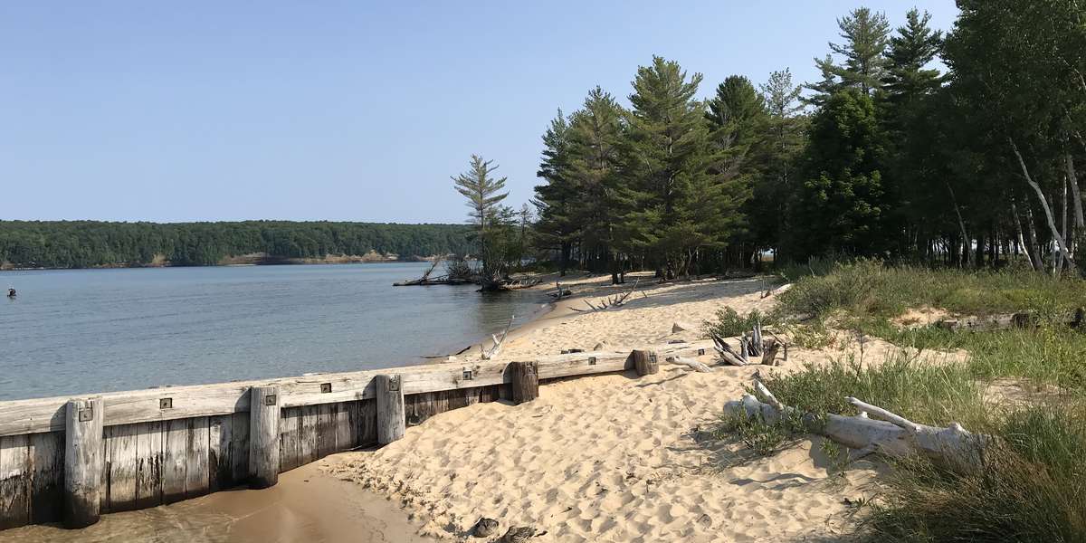
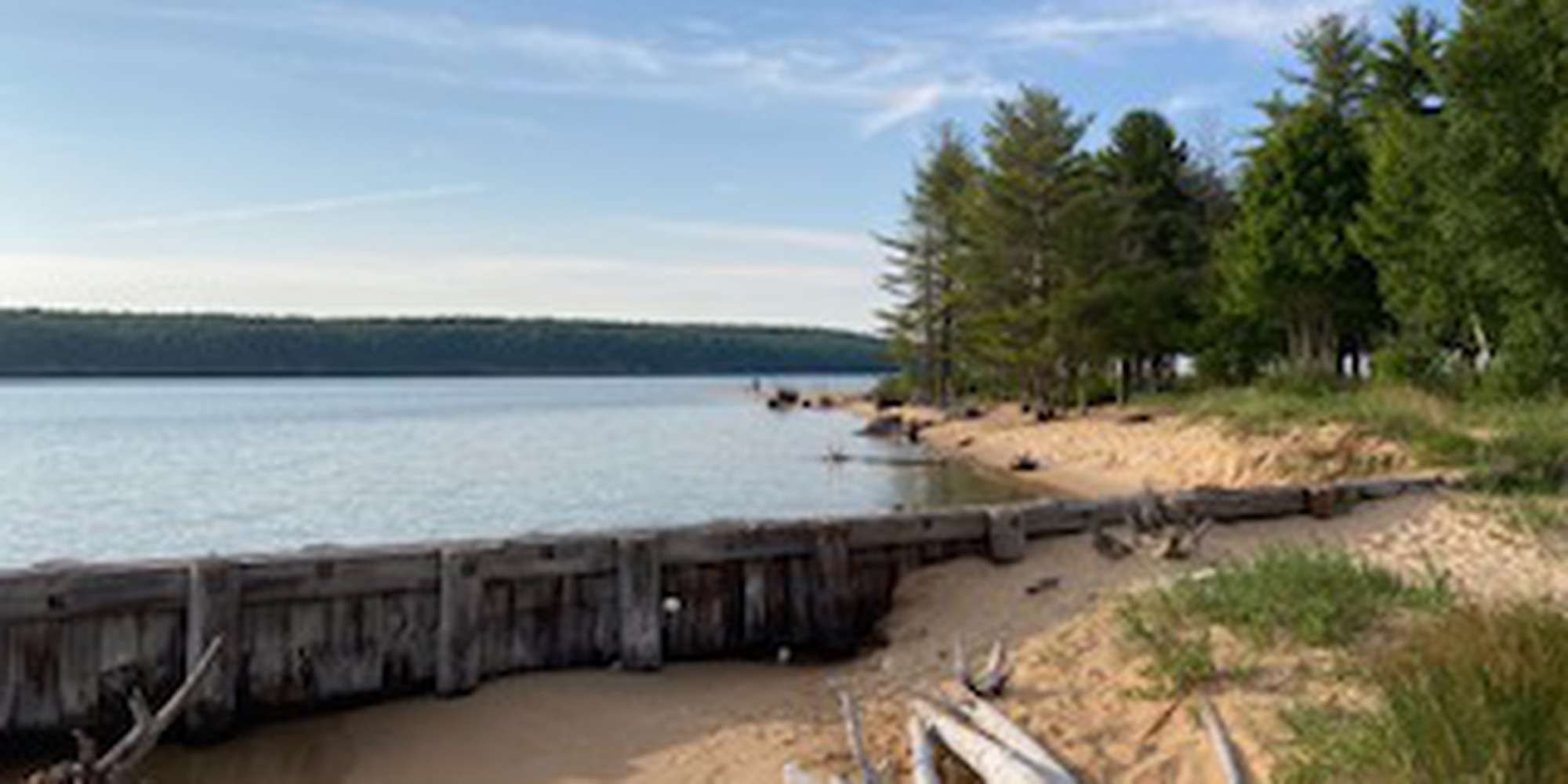
2022
2023
2024


2022
2023
2024
Sand Point Beach Station
Managed by Pictured Rocks National Lakeshore
Jul 2021 - Jul 2024
In Michigan, US
PIC101
This chronolog combines 176 photos from 158 contributors. Learn more
About this site
The whole of Sand Point is made up of sand deposited by the currents of Lake Superior as the water moves through Munising Bay. Over hundreds of years, the sand deposits were colonized by different vegetation such as beach grasses, pine trees, and blueberry bushes. The shoreline continues to change today as new sand accumulates in places and existing beach erodes away. The process doesn’t stop in winter as Lake ice pushes and carves the frozen shoreline. The photos collected from this station show how the sand bars and beaches of the area shift over time, as well as how the levels of Lake Superior fluctuate from year to year.
About Pictured Rocks National Lakeshore
Pictured Rocks National Lakeshore hugs the south shore of Lake Superior in Michigan’s Upper Peninsula. It's known for the dramatic multicolored Pictured Rocks cliffs. Unusual sandstone formations like Miners Castle and Chapel Rock define the park’s headlands.
For nature-lovers
Explore chronologs
For organizations
Chronolog is a monitoring tool for parks, nature centers, wildlife organizations, schools, and museums worldwide. With over 100,000 contributors across 300 organizations, Chronolog is on a mission to engage communities with nature while recording important natural changes.
© Chronolog 2026 | Terms