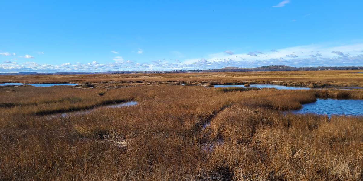
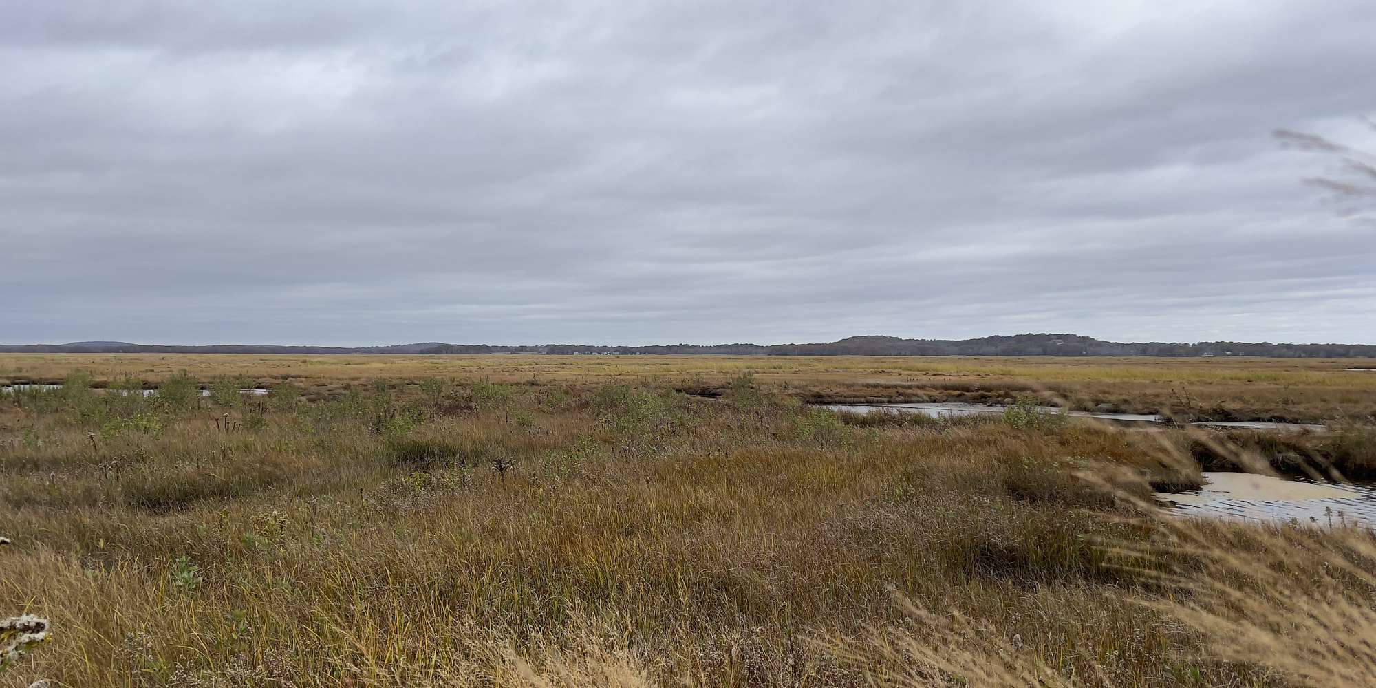
2023
2024
2025


2023
2024
2025
Lot 3 - Marsh Restoration
Nov 2022 - Nov 2025
In Massachusetts, US
PRR103
This chronolog combines 50 photos from 28 contributors. Learn more
About this site
Historically, colonists heavily farmed New England salt marshes to produce salt marsh hay. In the 1700s and 1800s, it was common practice for farmers to dig deep ditches and build berms, altering the salt marsh hydrology. These changes essentially increased drainage and in turn, increased their crop yield.
Such land alterations are currently causing more frequent flooding, which leads to salt marsh degradation and loss. Signs of this degradation can be large pools, algal blooms, and the conversion of higher, drier marsh into lower, wetter marsh.
To reverse these effects, the Refuge has been implementing several different salt marsh restoration techniques. In 2020, the site you see in front of you was a permanently flooded pool surrounded by dying vegetation. That April we installed a baby creek, also known as a runnel, to reconnect the pool to tidal flooding. Check out our other Chronolog PRR102, located at the Salt Pannes, to learn more about the importance of tidal waters!
Over the next few years, with your help, we hope to observe how the landscape will continue to change in response to the runneling.
About Parker River and Great Bay National Wildlife Refuge
Parker River National Wildlife Refuge is located on Plum Island, a barrier island along the coast of northern Massachusetts. The mix of habitats—including salt marsh, salt pannes, maritime shrubland, and beach dunes—makes the location especially important for migratory birds. One of the main focuses of the Refuge is to restore habitats and ecosystems to be more resilient to climate change, particularly for salt marshes in the Great Marsh.
https://www.fws.gov/refuge/parker-river
Great Bay National Wildlife Refuge is oak hickory forest with many forested wetland and tidal estuary tucked inland just west of Portsmouth, New Hampshire. Here, fresh riverine waters meet salty oceanic waters allowing a wide variety of plant and animal life to flourish. The Refuge is another important stopping ground for migrating birds to feed, shelter, and in some cases breed.
https://www.fws.gov/refuge/great-bay
For nature-lovers
Explore chronologs
For organizations
Chronolog is a monitoring tool for parks, nature centers, wildlife organizations, schools, and museums worldwide. With over 100,000 contributors across 300 organizations, Chronolog is on a mission to engage communities with nature while recording important natural changes.
© Chronolog 2026 | Terms