

PRR-105 · New Hampshire, US
Great Bay, Upper Peverly Boardwalk - Vernal Pools
By Parker River and Great Bay National Wildlife Refuge
284 photos from 232 people · Dec 2022 – Dec 2025
This Chronolog has ended. Photos sent after it ended aren’t shown.
About this place
Vernal pools are considered ephemeral wetlands—they are areas that are only flooded during the wetter seasons, normally winter and spring. During summer and fall, most if not all of the standing water will evaporate.
These dynamic habitats are home to several animal and plant species that rely on the changing conditions to survive and reproduce. For example, some amphibians rely on these small, temporary bodies of water in order to lay their eggs in an environment free from predators such as fish.
You can learn more about vernal pools by visiting some these websites:
https://www.epa.gov/wetlands/vernal-pools https://extension.unh.edu/resource/vernal-pools
About Parker River and Great Bay National Wildlife Refuge
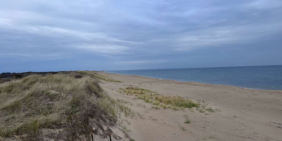
Parker River National Wildlife Refuge is located on Plum Island, a barrier island along the coast of northern Massachusetts. The mix of habitats—including salt marsh, salt pannes, maritime shrubland, and beach dunes—makes the location especially important for migratory birds. One of the main focuses of the Refuge is to restore habitats and ecosystems to be more resilient to climate change, particularly for salt marshes in the Great Marsh.
https://www.fws.gov/refuge/parker-river
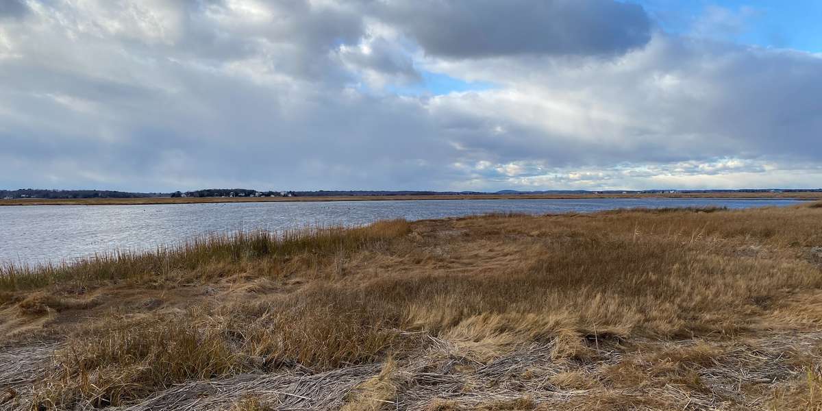
Great Bay National Wildlife Refuge is oak hickory forest with many forested wetland and tidal estuary tucked inland just west of Portsmouth, New Hampshire. Here, fresh riverine waters meet salty oceanic waters allowing a wide variety of plant and animal life to flourish. The Refuge is another important stopping ground for migrating birds to feed, shelter, and in some cases breed.
https://www.fws.gov/refuge/great-bay
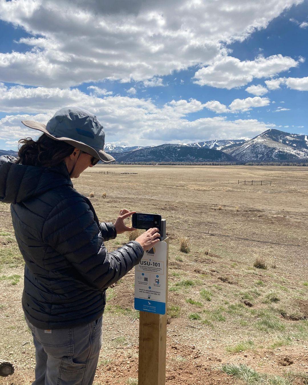
New to Chronolog?
A timelapse made by visitors
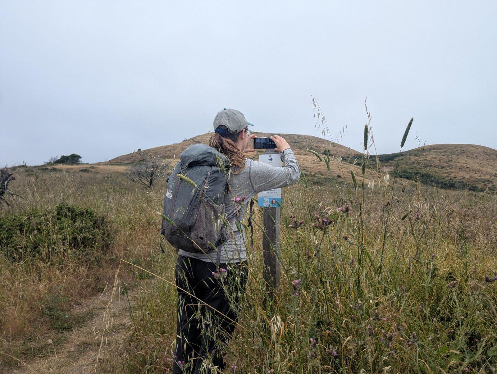
People passing through set their phone in the bracket and take the same photo. We line them all up into one timelapse of this place.
See how it worksVisit
Find this Chronolog
New Hampshire, US · 43.08943, -70.84241
More from Parker River and Great Bay National Wildlife Refuge
Other places they’re watching.


For parks, nature centers, land trusts, schools & more
Give your place a memory.
Each person who stops adds a photo. Together, they show how your site changes.
- Up in an afternoon
- No power or Wi-Fi
- Full-resolution photos and video