2023
2024
2025
2026

2023
2024
2025
2026
Woodward Fire Photomonitoring Site 2
Managed by Point Reyes National Seashore Association
Since Feb 2022
In California, US
PRS102
This chronolog combines 541 photos from 500 contributors. Learn more
About this site
An early burn site photo from December 16th, 2020.
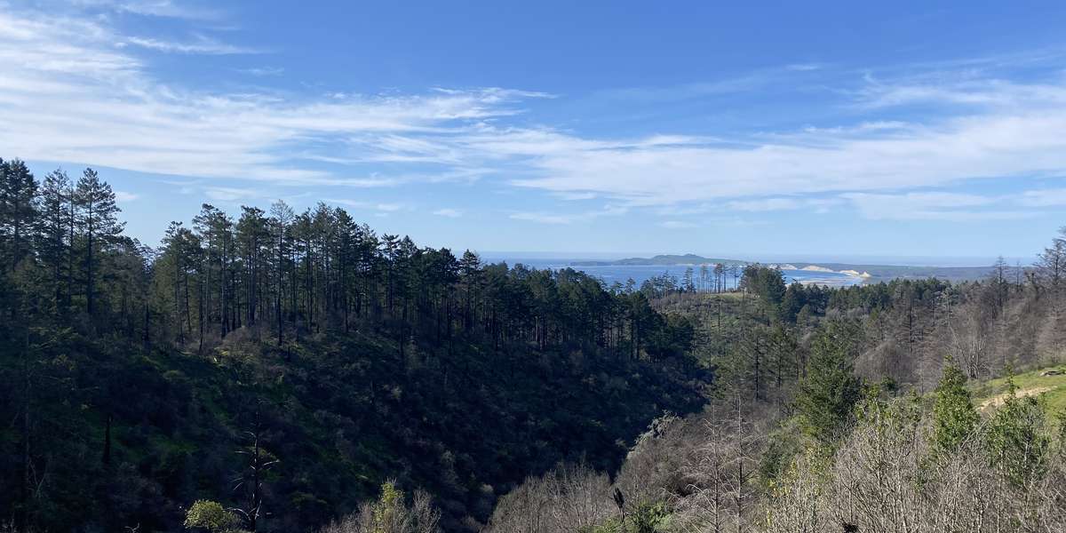
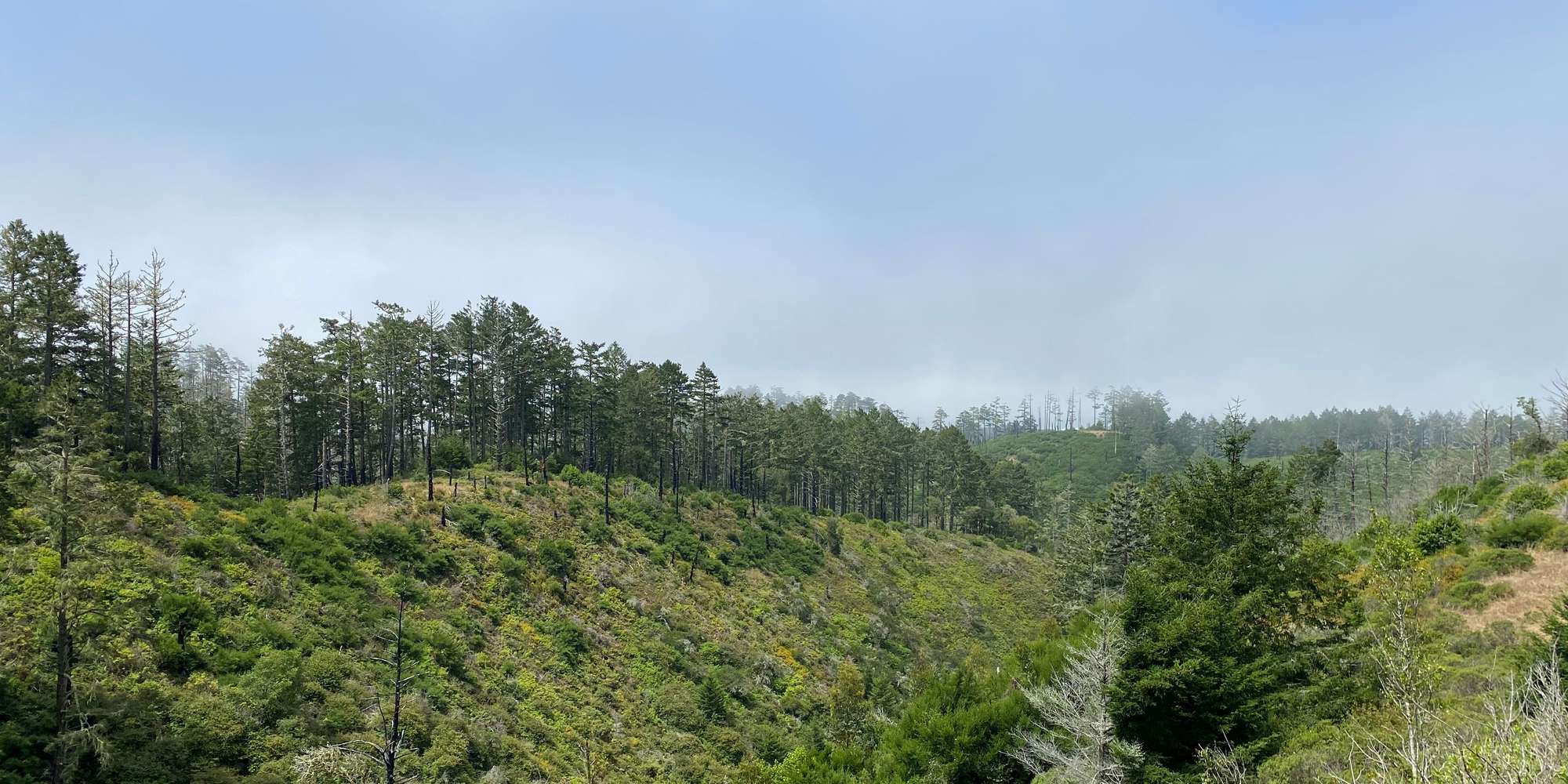
Low to moderate intensity wildfires which occur at regular intervals can benefit forest health by reducing understory brush and debris, replenishing soil nutrients, and creating light and space for young trees to thrive. Less frequent high intensity fires can be more damaging by harming soils and mature trees, making recovery more difficult and dramatically changing a plant community and the habitat it provides. However, some plants and animals actually thrive in burn zones, taking advantage of new access to space and resources that may have been unavailable to them before.
Controlled burns mimic the beneficial low-intensity fires that much of California’s vegetation is adapted to survive. It will be interesting to follow regrowth across the patchwork of fire intensities in the Woodward fire zone. The vegetation visible at this site burned at what is considered a moderate intensity.
About Point Reyes National Seashore Association
Located just north of San Francisco, the Point Reyes National Seashore spans 110 square miles of coastline, rocky headlands, expansive sandy beaches, open grasslands, brushy hillsides, and forested ridges. Point Reyes offers visitors over 1500 species of plants and animals to discover across a variety of habitats and designated wilderness areas. Home to several cultures over thousands of years, the Seashore also preserves a tapestry of stories and interactions between people and their natural surroundings.
On Monday, August 17, 2020, a lightning storm sparked a wildfire within Point Reyes National Seashore which was named the 4-5 Fire, north of the junction of Woodward Valley Trail and the Coast Trail. On Tuesday, August 18, a second lightening ignition was located nearby, originally named the 4-6 Fire. Aided by gusty winds, these fires soon combined to form the Woodward Fire, which quickly grew in size. Various resources from across the country and state were called in to help control the blaze. By Thursday, October 1, 2020, the Woodward Fire was 100% contained at 4,929 acres in size, but not declared officially out until Tuesday, January 12, 2021.
All told, park scientists and managers largely consider the Woodward Fire to be ecologically beneficial because it had a mix of burn severity. Periodic wildfires are a common feature of many California ecosystems, and many native plant communities are adapted to tolerating or even requiring occasional fire events for reproduction and regeneration. The vast majority of parklands within the fire’s footprint received a low or moderate burn, which can lead to healthy fuel reduction and improved habitat for many native species. Other tracts of land sustained a more severe burn, and these areas may take longer to recover from the event.
Your photo contributions will help park scientists track re-growth in the Woodward Fire zone and answer questions about plant and animal habitat recovery following the fire.
The Woodward Fire Recovery Monitoring Project is a joint program of the Point Reyes National Seashore Association and the National Park Service.
The Point Reyes National Seashore Association (PRNSA) was formed to help the National Park Service preserve and enhance the Point Reyes National Seashore’s natural, cultural and recreational resources. As the park’s primary nonprofit partner, we raise funds to support critical resource preservation projects and offer year-round environmental education programs that engage the public in accessing, enjoying and understanding Point Reyes National Seashore.