2022
2023
2024
2025


2022
2023
2024
2025
Woodward Fire Photomonitoring Site 3
Managed by Point Reyes National Seashore Association
Since Feb 2022
In California, US
PRS103
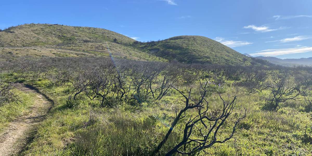
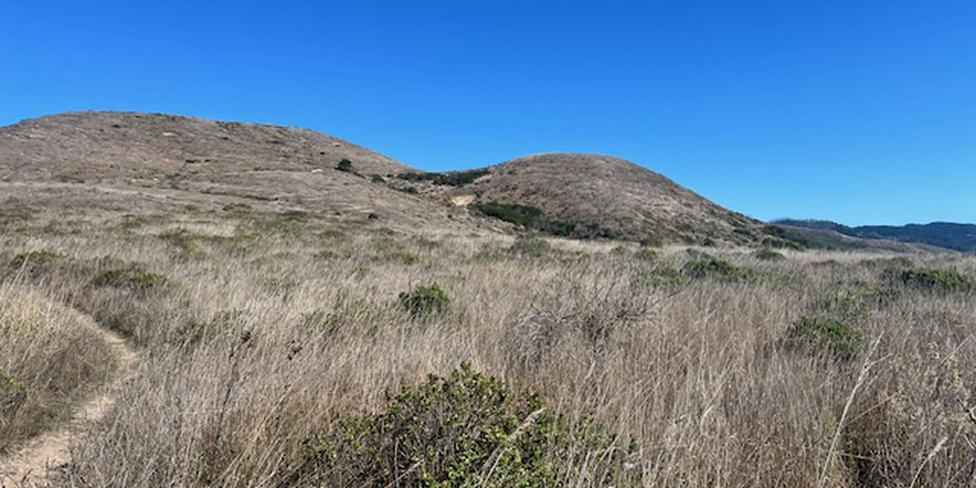
This chronolog combines 329 photos from 303 contributors. Learn more
About this site
An early burn site photo from December 7th, 2020.
When most people think about wildfires, they typically think of forests, not the ocean, but the Pacific Ocean played a vital role in the Woodward Fire! Since the ignition point was so close to the coast, the beach acted as a natural boundary for the fire, and made it impossible for the fire to spread further west. Think of it this way; with the ocean right there, the firefighters only had to worry about three sides to the fire instead of four!
While the beach may not be the first thing that comes to mind when thinking of wildland fire, many of California’s coastal ecosystems are adapted to or even dependent on periodic fire! Coyote brush, part of this coastal scrub community, is the predominant species seen at this photomonitoring point, and can withstand low heat fires since it has evolved with fire-retardant compounds in its leaves. Coyote brush actually thrives in distrubed areas like a post-burn site, since its small wind-borne seeds can land and germinate on the newly bare soil. This prolific shrub will even help protect and provide shade for other species attempting to root in its environment. That said, coyote brush is not very tolerant of that shade itself, and if an area is left unburned long enough for a tree canopy to form, it will slowly be replaced.
About Point Reyes National Seashore Association
Located just north of San Francisco, the Point Reyes National Seashore spans 110 square miles of coastline, rocky headlands, expansive sandy beaches, open grasslands, brushy hillsides, and forested ridges. Point Reyes offers visitors over 1500 species of plants and animals to discover across a variety of habitats and designated wilderness areas. Home to several cultures over thousands of years, the Seashore also preserves a tapestry of stories and interactions between people and their natural surroundings.
On Monday, August 17, 2020, a lightning storm sparked a wildfire within Point Reyes National Seashore which was named the 4-5 Fire, north of the junction of Woodward Valley Trail and the Coast Trail. On Tuesday, August 18, a second lightening ignition was located nearby, originally named the 4-6 Fire. Aided by gusty winds, these fires soon combined to form the Woodward Fire, which quickly grew in size. Various resources from across the country and state were called in to help control the blaze. By Thursday, October 1, 2020, the Woodward Fire was 100% contained at 4,929 acres in size, but not declared officially out until Tuesday, January 12, 2021.
All told, park scientists and managers largely consider the Woodward Fire to be ecologically beneficial because it had a mix of burn severity. Periodic wildfires are a common feature of many California ecosystems, and many native plant communities are adapted to tolerating or even requiring occasional fire events for reproduction and regeneration. The vast majority of parklands within the fire’s footprint received a low or moderate burn, which can lead to healthy fuel reduction and improved habitat for many native species. Other tracts of land sustained a more severe burn, and these areas may take longer to recover from the event.
Your photo contributions will help park scientists track re-growth in the Woodward Fire zone and answer questions about plant and animal habitat recovery following the fire.
The Woodward Fire Recovery Monitoring Project is a joint program of the Point Reyes National Seashore Association and the National Park Service.
The Point Reyes National Seashore Association (PRNSA) was formed to help the National Park Service preserve and enhance the Point Reyes National Seashore’s natural, cultural and recreational resources. As the park’s primary nonprofit partner, we raise funds to support critical resource preservation projects and offer year-round environmental education programs that engage the public in accessing, enjoying and understanding Point Reyes National Seashore.
For nature-lovers
Explore chronologs
For organizations
Chronolog is a monitoring tool for parks, nature centers, wildlife organizations, schools, and museums worldwide. With over 100,000 contributors across 300 organizations, Chronolog is on a mission to engage communities with nature while recording important natural changes.
© Chronolog 2026 | Terms