
SCR-101 · Michigan, US
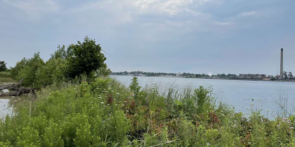
Blue Water River Walk County Park - South
By Friends of the St. Clair River
133 photos from 64 people · Since Jul 2021
About this place
For a century, the 40-mile St. Clair River endured pollution from industry and development from both the United States and Canada. Once a forbidden wasteland, the restoration of the Blue Water River Walk one-mile shoreline in 2014 by the Community Foundation of St. Clair County, created habitat for fish and wildlife.
Today, the Blue Water River Walk serves as a beautiful riverside habitat that’s a haven for wildlife, plants and people. Amenities include a paved trail, native plant landscaping, and homes for birds, reptiles and fish. Great progress has been made over the last thirty years to restore the St. Clair River's health, but there is still more work to be done. Your participation in this photo monitoring project helps protects the integrity of this habitat restoration and leaves an environmental legacy for generations.
The St. Clair River is our region's most significant natural feature - thank you for helping to protect it!
About Friends of the St. Clair River
Friends of the St. Clair River is Michigan's Thumb Coast largest environmental non-profit serving the area since 2007. We are dedicated to preserving and protecting high quality rivers, streams and landscapes and fostering a sense of personal responsibility for our area's unique natural resources. We help plan, advocate and monitor for improved water quality. It takes time for a natural system, like the St. Clair River, to recover following cleanup and restoration projects. Improvements continue to be made on both sides of this international river as it is restored to a healthy condition.
Support for this project is provided by the Rotary Club of Port Huron, Michigan Department of Environment, Great Lakes and Energy (EGLE), and St. Clair County Parks and Recreation Commission.
Thank you for stopping by!
New to Chronolog?
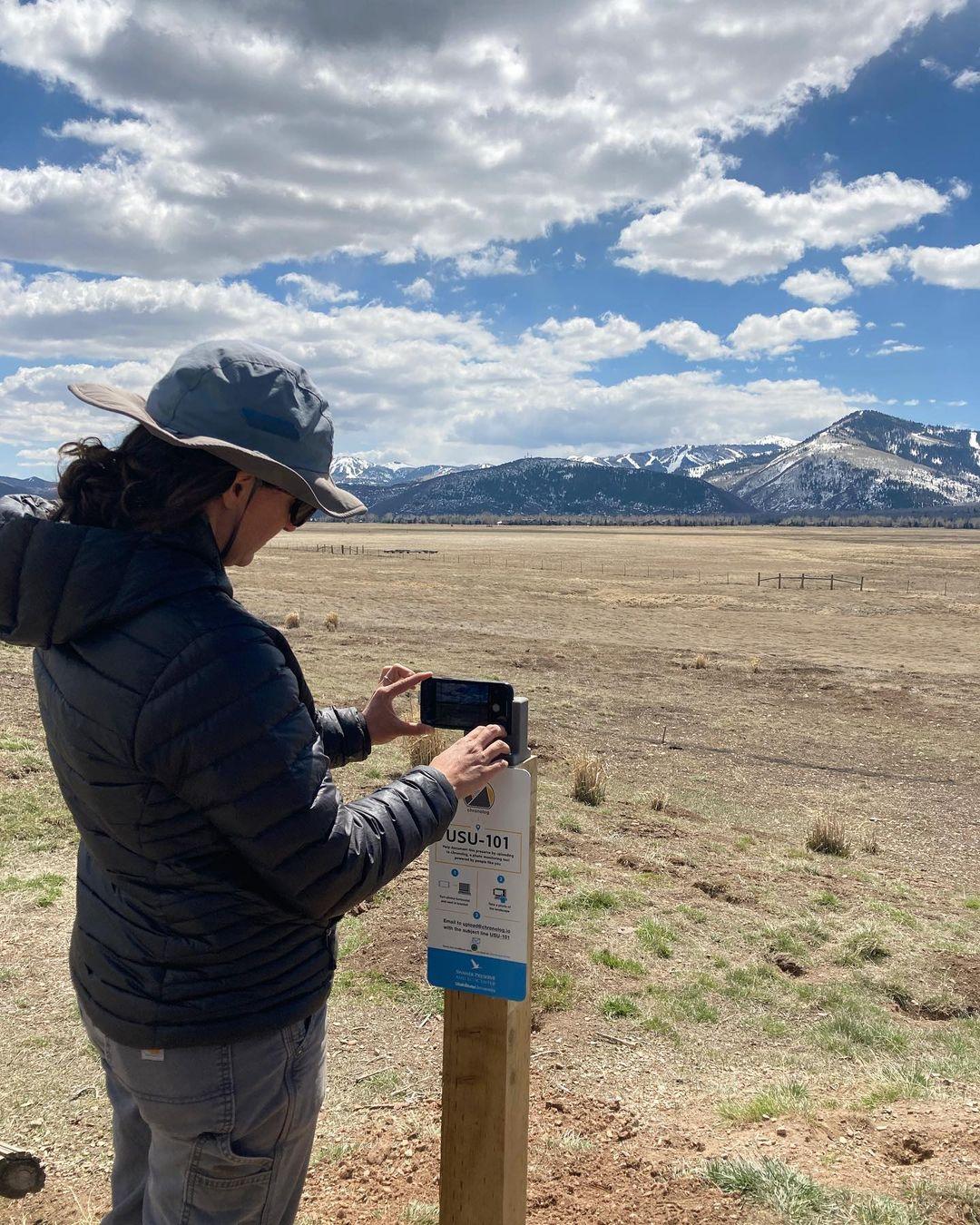
A timelapse made by visitors
People passing through set their phone in the bracket and take the same photo. We line them all up into one timelapse of this place.
See how it worksVisit
Find this Chronolog
Michigan, US · 42.96190, -82.42440
More from Friends of the St. Clair River
Other places they’re watching.


For parks, nature centers, land trusts, schools & more
Give your place a memory.
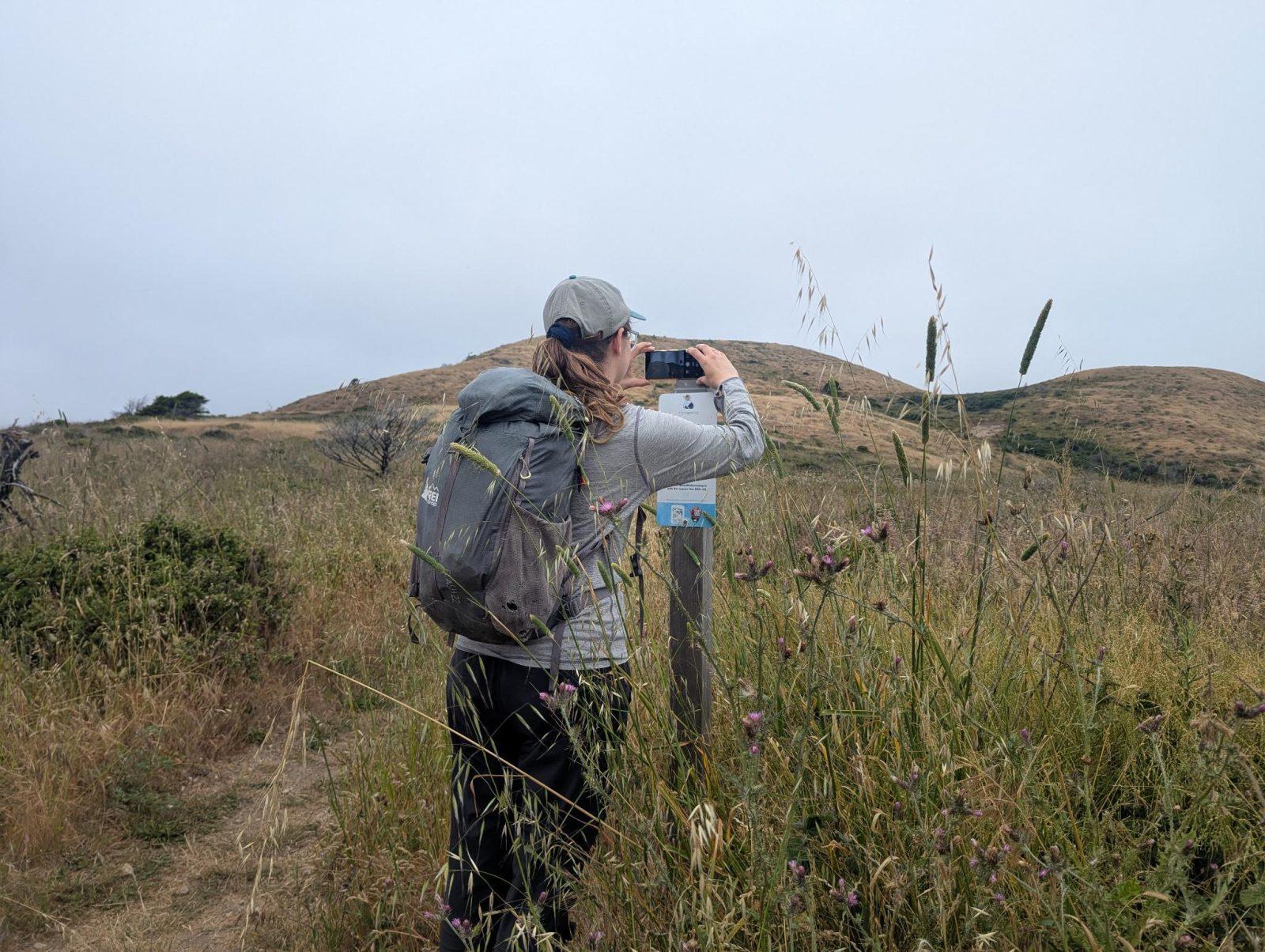
Each person who stops adds a photo. Together, they show how your site changes.
- Up in an afternoon
- No power or Wi-Fi
- Full-resolution photos and video