2020
2021
2022
2023
2024
2025
2026

2020
2021
2022
2023
2024
2025
2026
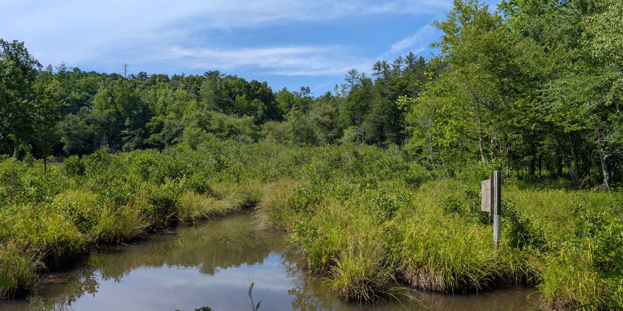
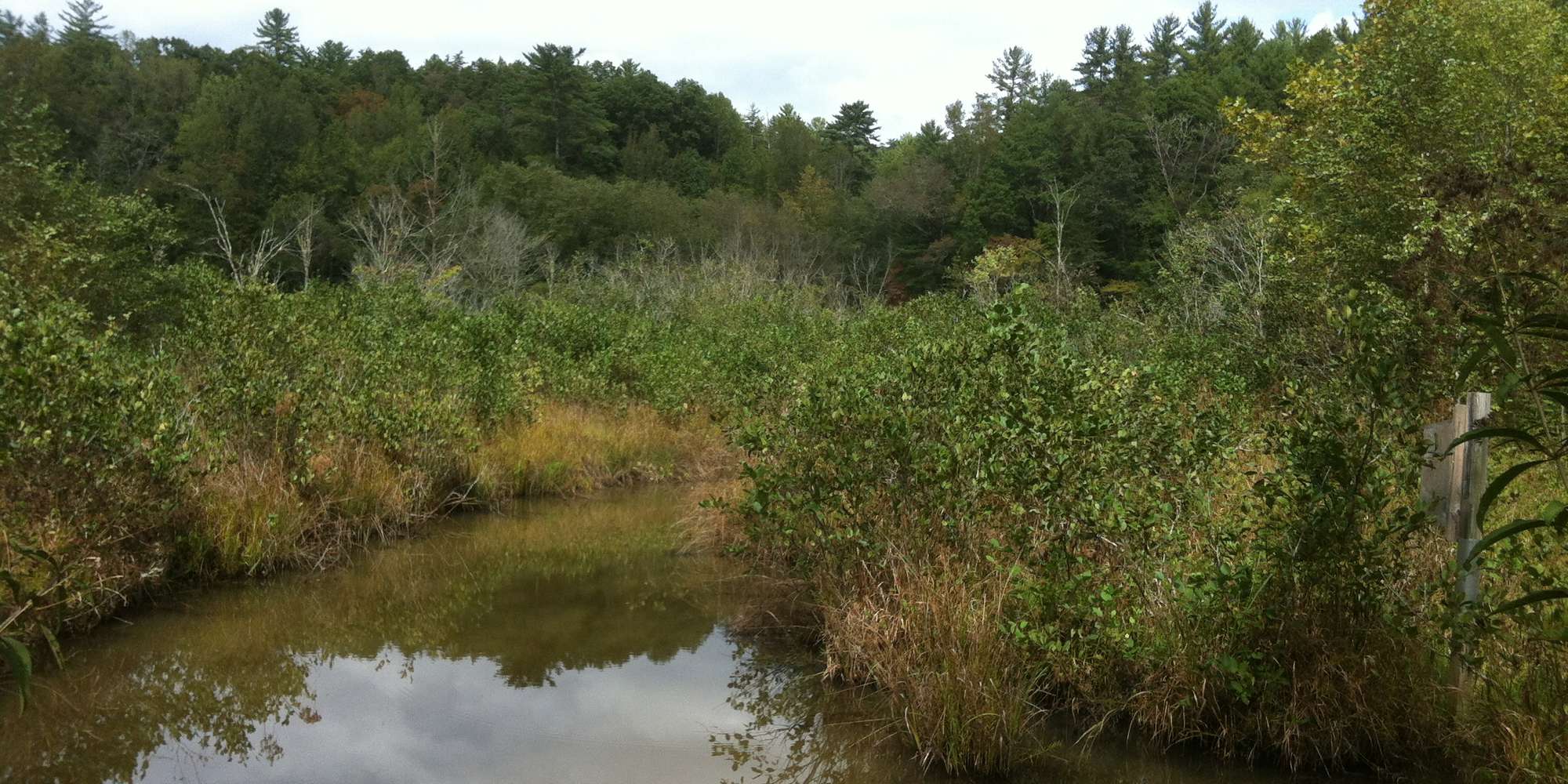
Wetland Loop Trail Beaver Pond
Managed by Smithgall Woods State Park
Since Oct 2019
In Georgia, US
SWP101
This chronolog combines 367 photos from 293 contributors. Learn more
About this site
The Wetland Loop area is a beaver-created pond that changes throughout the seasons. The Chronolog citizen science project will help the caretakers of Smithgall Woods monitor how the site morphs over time.
About Smithgall Woods State Park
The Wetland Loop Trail, pictured above, is part of Smithgall Woods State Park, a 5,664 acre conservation park located in Helen, Georgia. Smithgall Woods was acquired by the state of Georgia in 1994 as a gift-purchase from Charles A. Smithgall, Jr.; a noted conservationist and businessman. In the nineteenth century, Before Smithgall Woods became a state park, this area was significantly transformed by hydraulic and hardrock gold mining, as well as logging. Today, Smithgall Woods is an angler’s paradise. One of north Georgia’s premier trout streams, Duke’s Creek, runs through this spectacular mountain property and is a favorite for catch and release fishing. In addition to trout fishing, Smithgall Woods has over five miles of trails and eighteen miles of roads that allow hikers and bicyclists to explore hardwoods, streams, and wildlife on the Blue Ridge Escarpment. The Wetland Loop area explores a wetland originally created by a beaver dam in the bottomlands along Duke’s Creek. When Smithgall Woods State Park first opened, this wetland did not exist. In the early 2000’s beavers moved into the area. They built a dam in order to create a pond and protect their lodge. Wetlands, like this one, are important nurseries providing food, shelter, and protection for many species of insects, fish, amphibians, and birds. Because beavers create habitats that attract and support many other species, they are known as keystone species, or “environmental engineers.” All wetlands have three basic ingredients: water, characteristics soils, and plants adapted to wet conditions. The pond that was formed by the beaver dam also has concentric rings of vegetation: open water, marsh, shrubs, and then trees. Please use this photo station to help us document seasonal changes in the wetland, including plant migrations and species composition.”