2022
2023
2024
2025
2026

2022
2023
2024
2025
2026
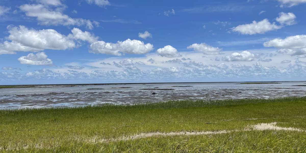
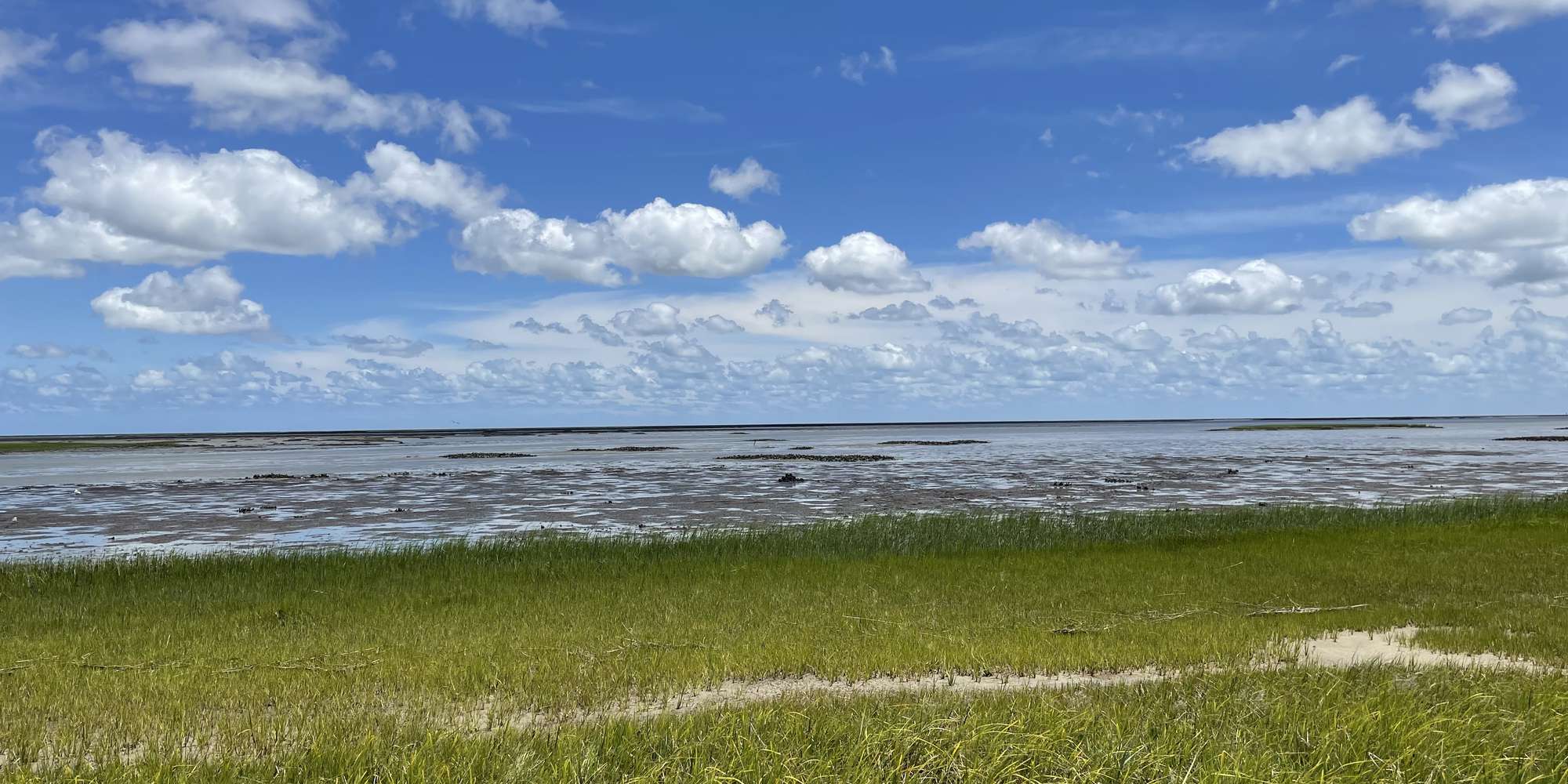
Horse Island Trail Oysters - Oyster, VA
Managed by Virginia Coast Reserve LTER
Since Jun 2021
In Virginia, US
VCR103
This chronolog combines 263 photos from 222 contributors. Learn more
About this site
Do you notice the small islands scattered across this coastal landscape? Do you know what the islands are made of or how they got there? Those “islands” are clusters of intertidal oysters called “reefs”. During the summertime, when water temperatures warm, adult oysters spawn from these and other nearby reefs. Oyster larvae then begin to develop and drift in the water column until sticking to a hard substrate, such as old shells, piers, or rocks, for the rest of their immobile lives. However, a big question remains… How do the baby oysters know where to stick and will they survive (a process called “recruitment”) and grow into large, healthy oyster reefs? Your photo submission will help answer this question by documenting if the reefs are growing through space and time. Thank you for contributing to our time-lapse in partnership with the Virginia Coast Reserve Long Term Ecological Research Program , the University of Virginia’s Coastal Research Center, and The Nature Conservancy’s Virginia Coast Reserve Chapter.
About Virginia Coast Reserve LTER
How do slow, progressive environmental changes (such as sea level rise) interact with brief disturbances (including intense waves and storms) to shape our seaside landscape? We are trying to find out!
Since the mid 1980s, scientists from over half a dozen universities have worked together through the Virginia Coast Resever (VCR) Long Term Ecological Research (LTER) program to better understand barrier islands, coastal forests, salt marshes, oyster reefs, and seagrass meadows.
Our goal is to not only UNDERSTAND how coastal systems work, but also to PREDICT how they may function or change in the future due to a changing climate, sea level rise, and land usage. We also connect any of those changes to the ecological and economic services the coastal barrier island system provides to you (such as storm protection, flood control, fisheries habitat, tourism).
Beyond VA's coast, we are connected to a national network of LTER sites, studying and comparing environments all over world.