2020
2021


2020
2021
Community Boathouse Dock
Managed by The Beargrass Creek Tributary
May 2020 - May 2021
In Kentucky, US
WBG101
This chronolog combines 44 photos from 11 contributors. Learn more
About this site
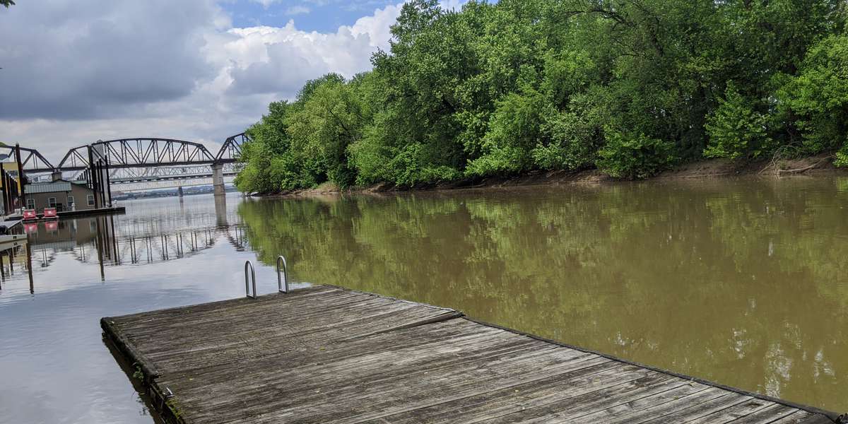
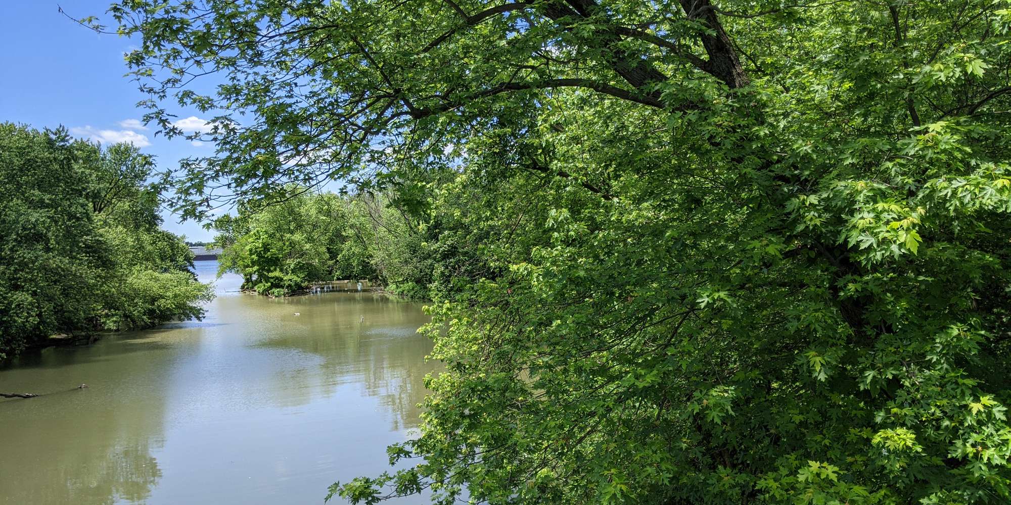
The dock provides small boat access to the Ohio River and is a trail head for the Ohio River Recreation Trail (mile 602.3). Just downriver from the Beargrass Creek confluence, the boathouse dock reveals a view of historic Towhead Island and the bridges of metro Louisville, all impacted by the manipulation of water levels. This photo station helps document the seasonal changes of the floodplain forest island and the impact of changing water levels of the Ohio River on the shoreline. There will be changes in water quality, the amount of floating algae, types of flotsam and the presence of wildlife. Different recreational users and their crafts on the river will also be captured.
About The Beargrass Creek Tributary
Waterfront Botanical Gardens, this duo of Chronolog stations aims to engage citizens in the ephemeral beauty, vegetation, animal life and waters of Jefferson County's Beargrass Creek and the Ohio River upstream of downtown Louisville, Kentucky.
For nature-lovers
Explore chronologs
For organizations
Chronolog is a monitoring tool for parks, nature centers, wildlife organizations, schools, and museums worldwide. With over 100,000 contributors across 300 organizations, Chronolog is on a mission to engage communities with nature while recording important natural changes.
© Chronolog 2026 | Terms