2021
2022
2023
2024
2025


2021
2022
2023
2024
2025
Waterfront Botanical Gardens
Managed by The Beargrass Creek Tributary
Sep 2020 - Oct 2025
In Kentucky, US
WBG103
This chronolog combines 899 photos from 68 contributors. Learn more
About this site
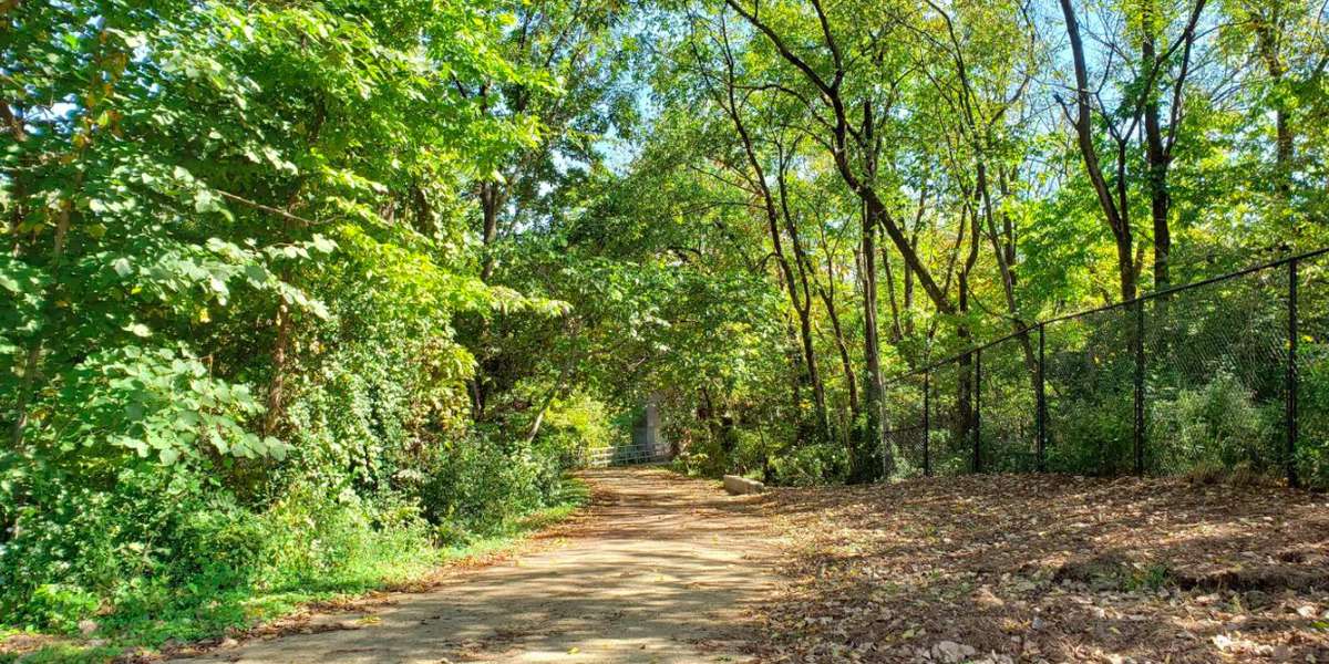
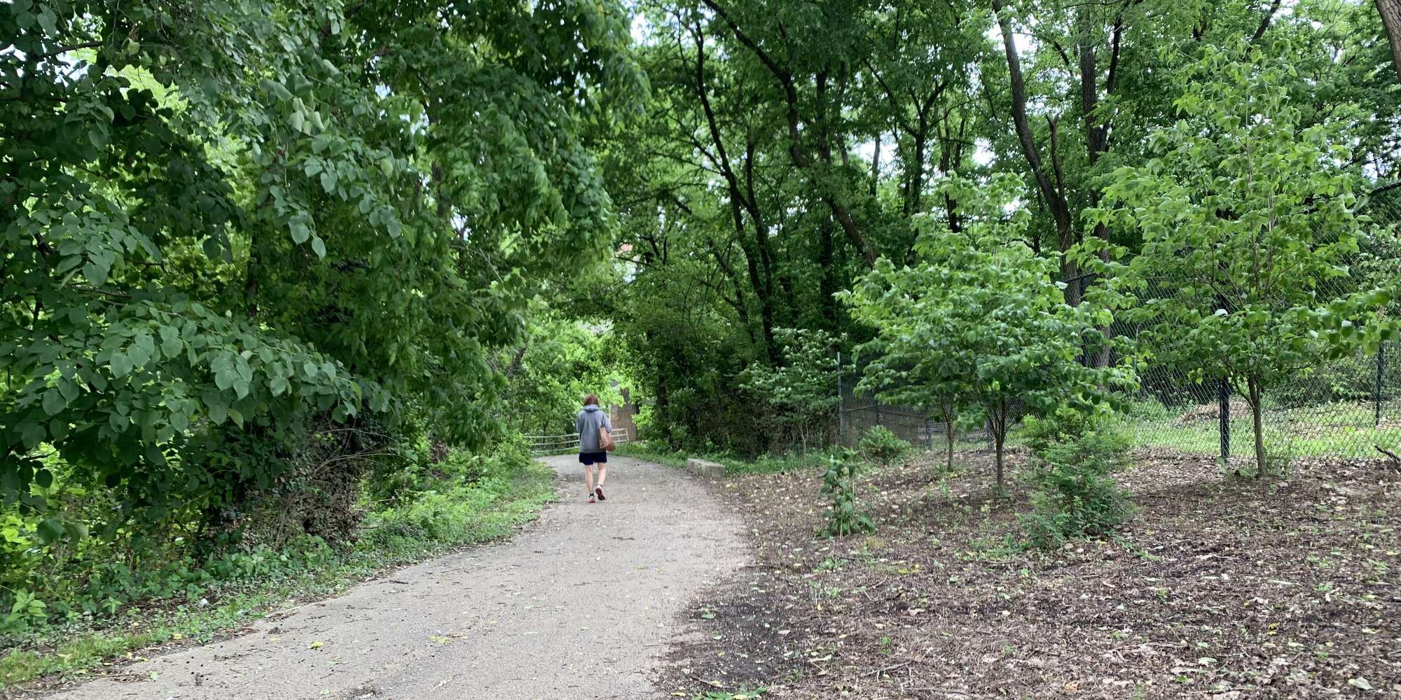
The eastern border of Waterfront Botanical Gardens abuts the Butchertown Greenway (a spoke of the 100-mile Louisville Loop). The Gardens rises about 30 feet higher in elevation because it is built on the former Ohio Street dump, which was capped with soil and sat vacant since 1981. The Greenway path runs parallel to the present-day course of Beargrass Creek (historically known as “the Beargrass Cut Off”). This station looks south/upstream on the Creek toward the double I-71 overpass bridges. Please help us document the seasonal woodland phenology as well as any creek flooding that may swell upward from the overpass on the Greenway.
About The Beargrass Creek Tributary
Waterfront Botanical Gardens, this duo of Chronolog stations aims to engage citizens in the ephemeral beauty, vegetation, animal life and waters of Jefferson County's Beargrass Creek and the Ohio River upstream of downtown Louisville, Kentucky.
For nature-lovers
Explore chronologs
For organizations
Chronolog is a monitoring tool for parks, nature centers, wildlife organizations, schools, and museums worldwide. With over 100,000 contributors across 300 organizations, Chronolog is on a mission to engage communities with nature while recording important natural changes.
© Chronolog 2026 | Terms