2024
2025
2026


2024
2025
2026
Kings Gap - Pine Pond
Managed by Western Pennsylvania Conservancy
Since Jun 2023
In Pennsylvania, US
WPC132
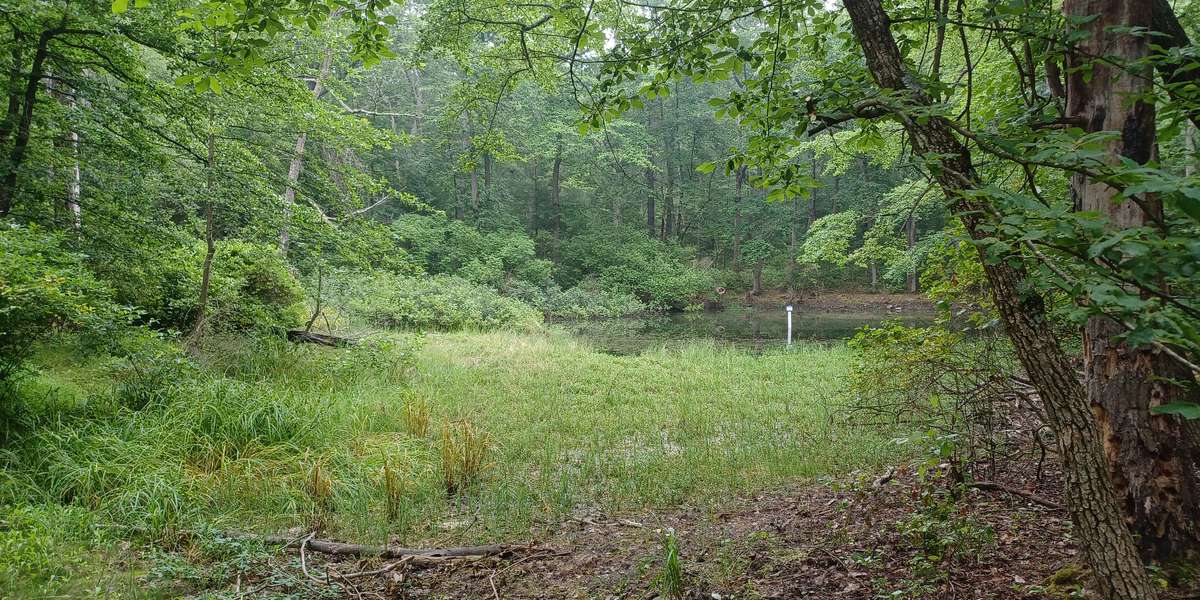
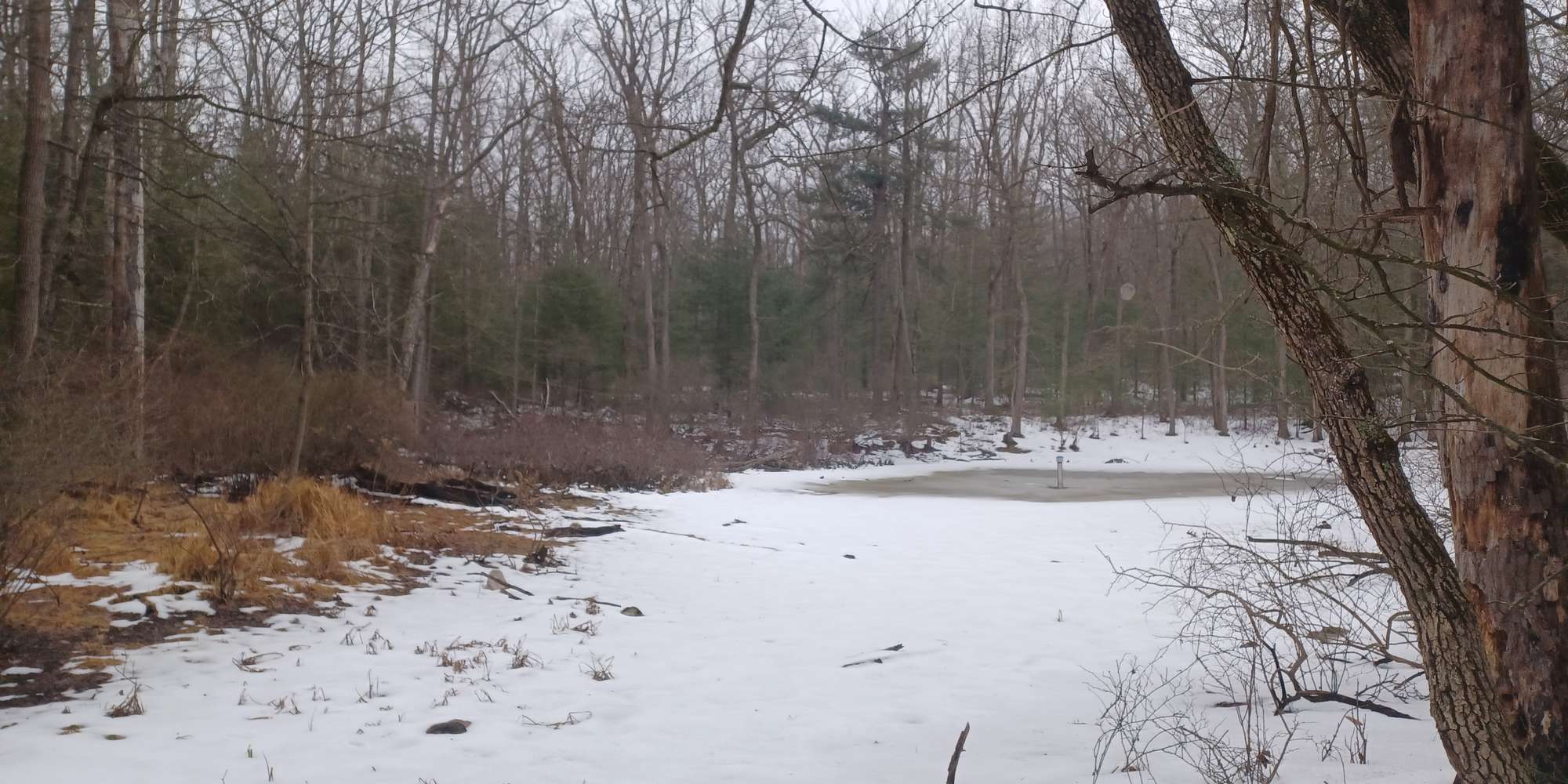
This chronolog combines 16 photos from 8 contributors. Learn more
About this site
This pond is the largest natural wetland on park property at the base of the mountain. It is a natural 'sag pond' that formed where a thick layer of sandstone sediments, eroded off South Mountain, slumped into a hole that formed in the limestone bedrock layer underneath. The water levels in this pond fluctuate greatly through the seasons, but it has never been known to dry up completely. A 16-foot deep sediment core was taken from this pond and each layer of sediment was carefully carbon dated and examined for pollen (Delano, Miller and Potter, 2001). The results of this study found that the pond has been here for at least 16,000 years, since the end of the last ice age. For the first 2,000 years in the life of this pond, it was surrounded by a tundra habitat dominated by dwarf trees, shrubs, mosses, and sedges. This habitat is no longer found in Pennsylvania, and is largely restricted to the regions just below the ice caps of the Arctic. Alpine tundra can encountered closer to home at high elevations on the tops of mountains in the Adirondacks.
This pond existed through the great transition from the glaciated Pleistocene to the current geological epoch, the Holocene. This transitional period saw the retreat of the glaciers, a warmer and more variable climate, and the spread of humans around the world. Early in this transition period we lost many spectacular megafauna such as mammoths, ground sloths, giant beavers and saber-toothed cats, all of which roamed these parts of Pennsylvania thousands of years ago. Today, combustion of fossil fules like coal, oil, and gas, and the resulting release of heat-trapping gases into the atmosphere, is contributing to another dramatic global climate change. Your photos and water depth readings will help document the life cycle of this pond today, and how it may be changing in a changing climate. Read more about climate change at NASA's Global Climate Change website, and seasonal wetlands at Vernal Pools of Pennsylvania.
For nature-lovers
Explore chronologs
For organizations
Chronolog is a monitoring tool for parks, nature centers, wildlife organizations, schools, and museums worldwide. With over 100,000 contributors across 300 organizations, Chronolog is on a mission to engage communities with nature while recording important natural changes.
© Chronolog 2026 | Terms