2022
2023
2024
2025
2026

2022
2023
2024
2025
2026
Nick’s Hole on St. George Island
Since Aug 2021
In Florida, US
APA102
This chronolog combines 383 photos from 290 contributors. Learn more
About this site
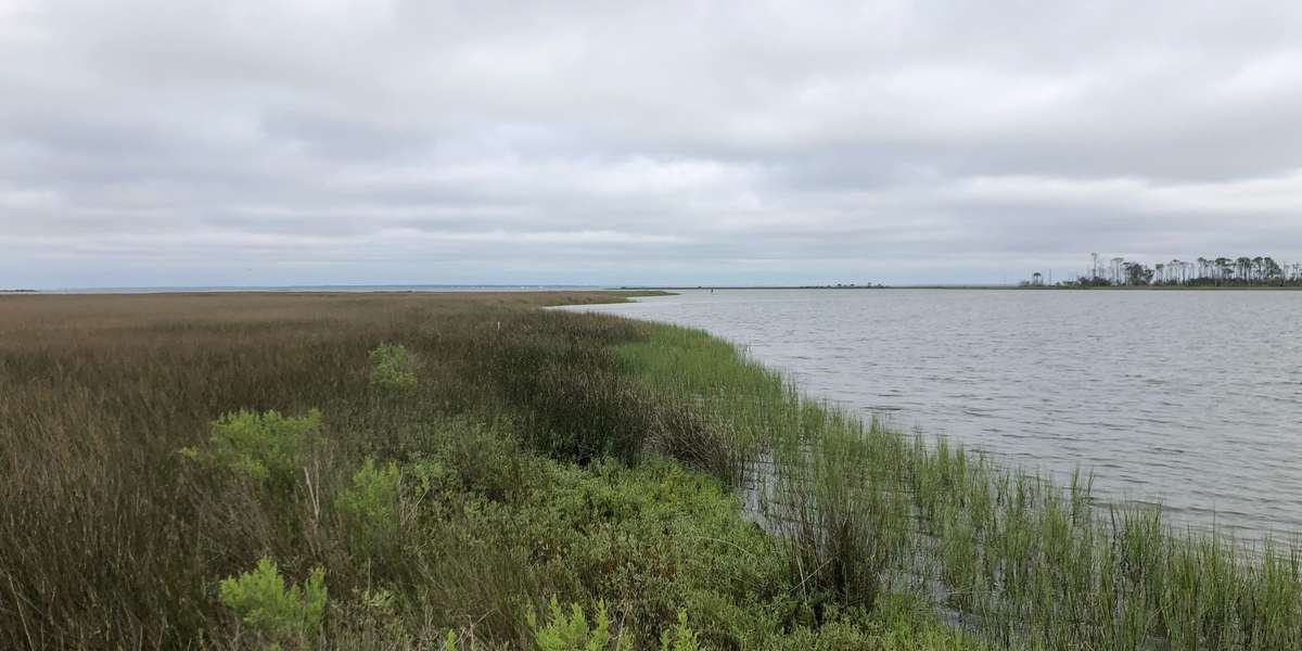
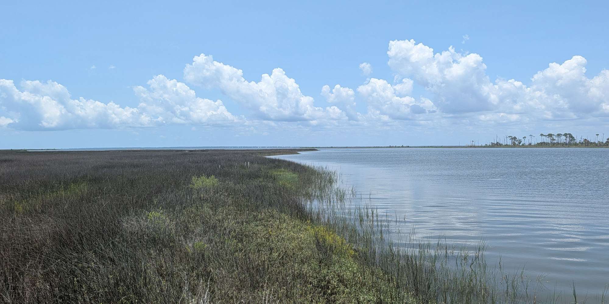
Nick’s Hole is a 50-acre site approximately 3.5 miles west of the center of St. George Island, Florida. The property takes the name from the adjacent inlet which is a large, natural and shallow cove on Apalachicola Bay. Nick’s Hole, like numerous areas along the coastline, is rich in cultural, ecological, and recreational resources. Nick’s Hole was purchased by the state to protect Apalachicola Bay by reducing development of fragile barrier island ecosystems. By participating in Chronolog here at Nick’s Hole, you can help us monitor new and expanding mangrove populations, give us perspective on changes in marsh soil as measured by Surface Elevation Tables (SETs), and track a dynamic shoreline adjacent to numerous oyster bars in St. George Sound. You can also help us document the natural succession of vegetation following prescribed fires and regular tropical events, recovery of a shoreline following invasive species management, and help us monitor recreation use at a popular primitive boat launch. Nick’s Hole habitats consist of oak scrub, flatwoods, coastal grasslands and hammock in the uplands. Salt marsh and scattered mangroves occupy the transition to the submerged lands which consists of shallow open water, oyster spits and seagrass.
About Apalachicola National Estuarine Research Reserve
Deep in the shady tupelo and cypress swamps of the floodplain, dark, rich water bleeds into the broader flow of the Apalachicola, a large alluvial river that makes its way to one of the most historically productive estuaries in the northern hemisphere. The Apalachicola National Estuarine Research Reserve, which is one of 29 coastal sites designated to protect and study estuarine systems in the U.S., encompasses over 246,000 acres of public lands and waters in the Florida Panhandle. The Reserve boundary includes 52 miles of the Apalachicola River and its associated floodplain, Apalachicola Bay, a string of unique barrier islands, and several disjunct parcels embedded in the small coastal communities.. To manage the diverse natural communities of the Reserve, there is a similarly diverse group of natural resource managers, scientists and educators who seek to preserve the important biological function of each component. The Reserve, which is supported by both the National Oceanic and Atmospheric Administration and the Florida Department of Environmental Protection, includes programs that focus on research and monitoring, stewardship, environmental education and training for a variety of audiences. Check out our Chronolog stations at Easthole (Unit 4) and Nick’s Hole to help us capture change and activity in both natural and human communities occurring in the Reserve.