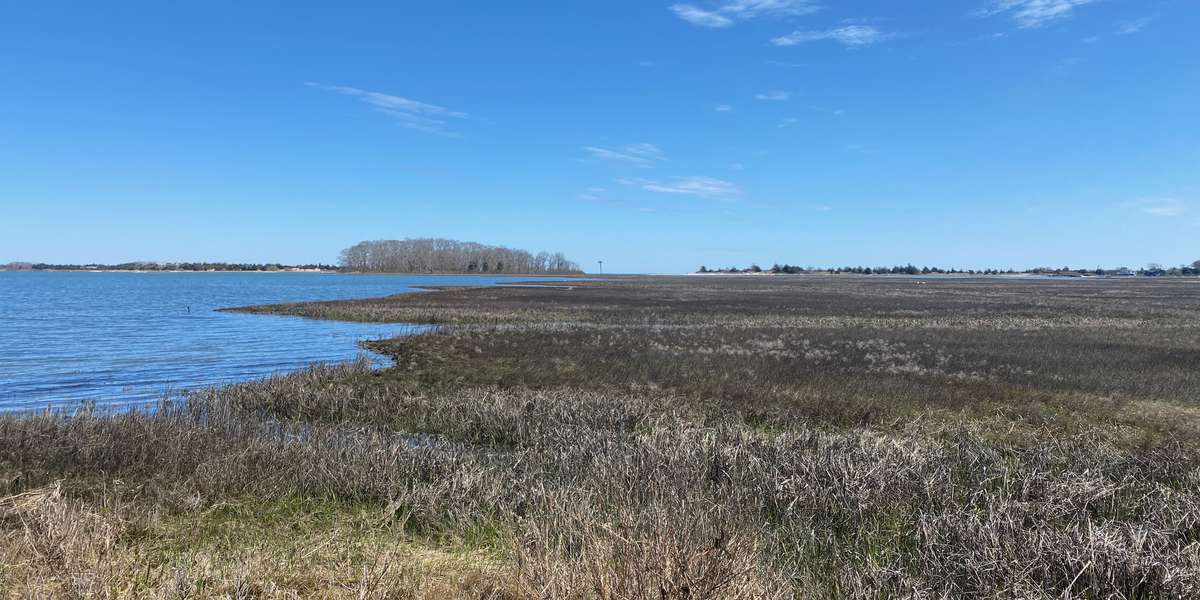
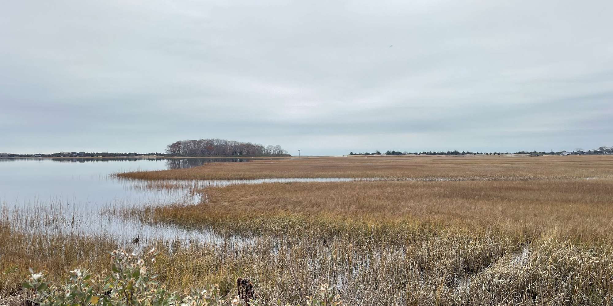
2024
2025


2024
2025
Landing Lane- Accabonac Harbor
Managed by Peconic Baykeeper
Since Apr 2024
In New York, US
PBK112
This chronolog combines 26 photos from 19 contributors. Learn more
About this site
Welcome to Project R.I.S.E., Peconic Baykeeper’s community science initiative to document long-term climate impacts and coastal change in the Peconic Estuary Watershed. Please help support this project by submitting your photos each time you visit this site!
Accabonac Harbor and Neighboring Hog Creek are often considered the Heartland of East Hampton . Accabonac Harbor or as it is known by the locals, “Bonac Crick”, has been a stronghold of fishing activity for centuries. Dories and other workboats line the shoreline on pulley rigged moorings, ready to set off for lifting pound traps or other near shore commercial fishing activities. This waterbody is well represented in our aquaculture efforts and a relative abundance of hard clams and oysters can be found on the bottomlands. Sport fishing is also popular at the inlet and along the inner and outer shoreline. Other forms of outdoor recreation, such as kayaking, paddleboarding and sailing are popular on this waterbody. The Trustees manage dredging activities on this harbor and clear the north culvert and the main inlet on a regular basis. Landing Lane is a road end owned by the Town of East Hampton and is a popular location for launching small watercraft, paddle boards and kayaks and as a stop to enjoy the scenic views of the Harbor.
This Chronolog Station is located at Landing Lane on Accabonac Harbor.
About Peconic Baykeeper
Peconic Baykeeper is a not-for-profit organization exclusively dedicated to protecting and restoring Long Island's drinkable, swimmable, and fishable waters. Established in 1998 as Long Island's clean water advocate, Peconic Baykeeper uses science, education, and law to defend critical watersheds from the Peconic Estuary through Eastern South Shore Bays.
Project R.I.S.E. (Recording Inundation Surrounding the Estuary), is Peconic Baykeeper's community science and outreach initiative to help document long-term climate impacts and coastal change in the Peconic Estuary Watershed. This is one of sixteen sites selected for this project with funding support from the Peconic Estuary Partnership. Learn more about Project RISE and our other programs here and please sign up for our email mailing list to keep in touch!
For nature-lovers
Explore chronologs
For organizations
Chronolog is a monitoring tool for parks, nature centers, wildlife organizations, schools, and museums worldwide. With over 100,000 contributors across 300 organizations, Chronolog is on a mission to engage communities with nature while recording important natural changes.
© Chronolog 2026 | Terms