2024
2025
2026


2024
2025
2026
Louse Point- Accabonac Harbor
Managed by Peconic Baykeeper
Since Apr 2024
In New York, US
PBK113
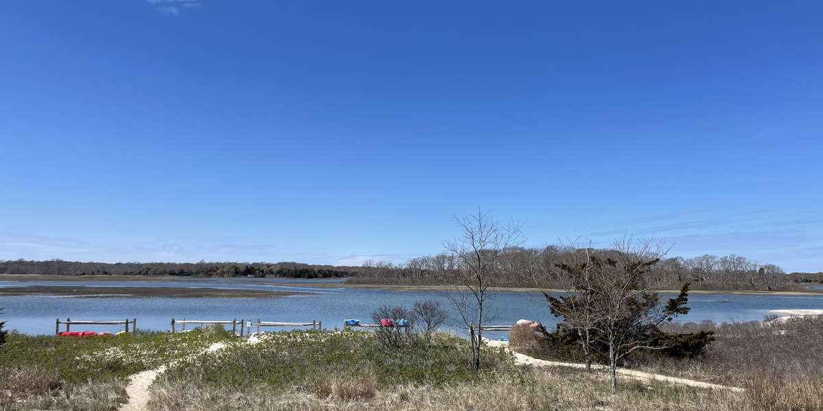
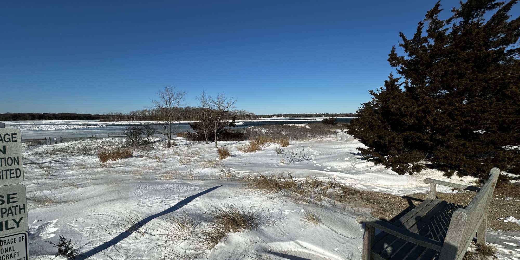
This chronolog combines 28 photos from 19 contributors. Learn more
About this site
Welcome to Project R.I.S.E., Peconic Baykeeper’s community science initiative to document long-term climate impacts and coastal change in the Peconic Estuary Watershed. Please help support this project by submitting your photos each time you visit this site!
Louse Point Park is a designated Town of East Hampton Nature Preserve situated on a barrier of sand that separates Accabonac Harbor from Napeague Bay. Louse Point Park is one of East Hampton Town’s most intensively, and diversely used Nature Preserves which benefits commercial fishermen, waterfowl hunters, clammers, naturalists, swimmers, hikers, paddlers and boaters as well as cyclists and joggers as a scenic destination. In 1959, the Town with the help of Suffolk County, dredged a new and larger harbor entry at its current location. The dredge material was used to completely fill in the natural cut and divided off the southern most part of Gerard Drive and made it part of Louse Point. Several rare or protected species visit or nest on Louse Point, including the Piping Plover and Least Tern. One New York State listed rare plant occasionally found in this vicinity is the Sea Beach Knotweed.
This Chronolog Station is located at Louse Point Park on Accabonac Harbor.
About Peconic Baykeeper
Peconic Baykeeper is a not-for-profit organization exclusively dedicated to protecting and restoring Long Island's drinkable, swimmable, and fishable waters. Established in 1998 as Long Island's clean water advocate, Peconic Baykeeper uses science, education, and law to defend critical watersheds from the Peconic Estuary through Eastern South Shore Bays.
Project R.I.S.E. (Recording Inundation Surrounding the Estuary), is Peconic Baykeeper's community science and outreach initiative to help document long-term climate impacts and coastal change in the Peconic Estuary Watershed. This is one of sixteen sites selected for this project with funding support from the Peconic Estuary Partnership. Learn more about Project RISE and our other programs here and please sign up for our email mailing list to keep in touch!
For nature-lovers
Explore chronologs
For organizations
Chronolog is a monitoring tool for parks, nature centers, wildlife organizations, schools, and museums worldwide. With over 100,000 contributors across 300 organizations, Chronolog is on a mission to engage communities with nature while recording important natural changes.
© Chronolog 2026 | Terms