2024
2025
2026


2024
2025
2026
Lazy Point- Napeague
Managed by Peconic Baykeeper
Since 2024
In New York, US
PBK114
This chronolog combines 60 photos from 21 contributors. Learn more
About this site
Welcome to Project R.I.S.E., Peconic Baykeeper’s community science initiative to document long-term climate impacts and coastal change in the Peconic Estuary Watershed. Please help support this project by submitting your photos each time you visit this site!
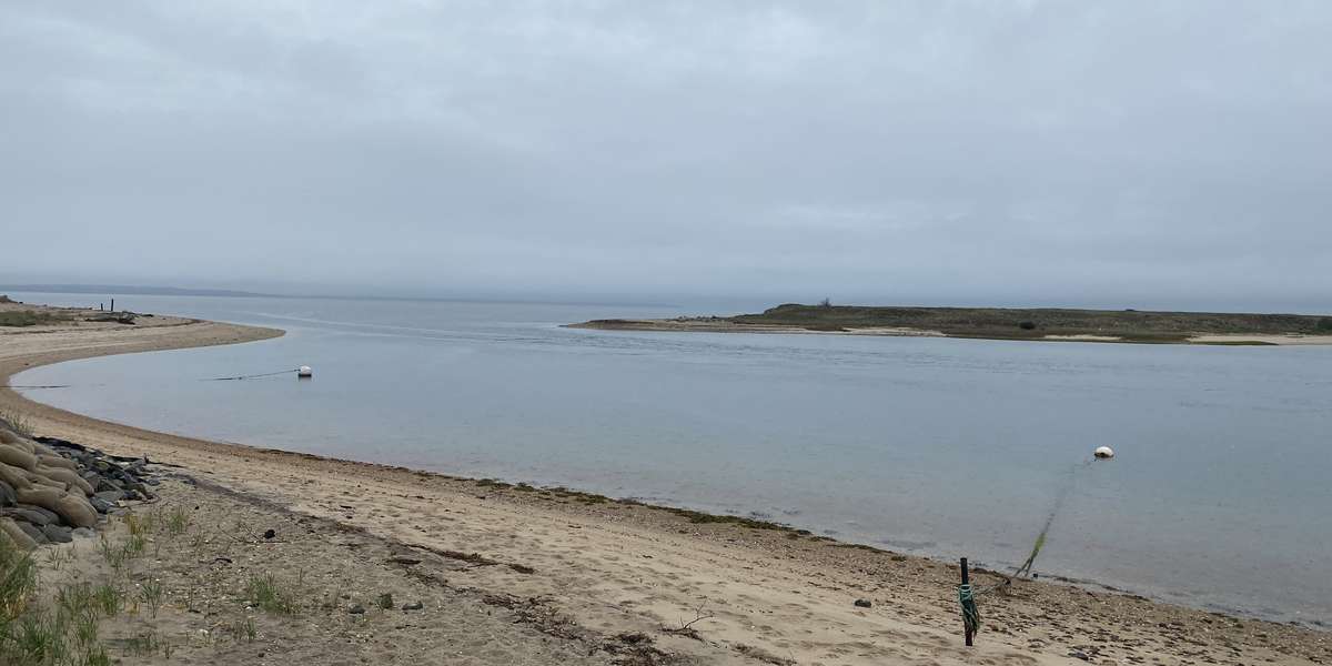
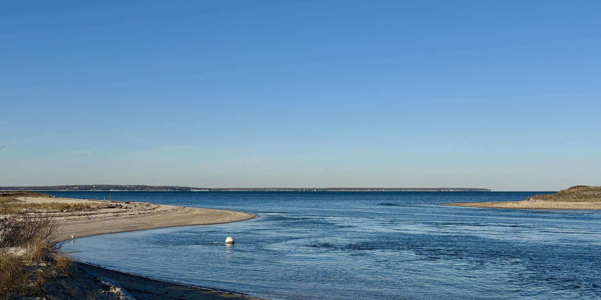
Lazy Point is a small enclave settlement located away from the mainstream of the Town of East Hampton, situated in an area called Napeague. In the 1800s, Lazy Point became a community where shacks were constructed to house migrants who worked at the Smith Meal Fish Factory, the processing center of the small fish, menhaden. By the 1930s and 1940s there had been such an abundance of overfishing that the menhaden were rendered scarce. The result required the Smith Meal Fish Factory to shutter its doors for business in 1969. Unemployed, some of the migrant workers remained at Lazy Point with the local fishermen and baymen. Today, Lazy Point residents consist of year-round and seasonal owners, the original inhabitants of the small cottages and shacks are long gone. This chronolog station captures the ever shifting shoreline of the inlet between Lazy Point and Hick's Island, now a sanctuary for nesting shorebirds where the remnants of the old fish factory can still be seen along its shores. Lazy Point is under the jurisdiction of the East Hampton Town Trustees .
About Peconic Baykeeper
Peconic Baykeeper is a not-for-profit organization exclusively dedicated to protecting and restoring Long Island's drinkable, swimmable, and fishable waters. Established in 1998 as Long Island's clean water advocate, Peconic Baykeeper uses science, education, and law to defend critical watersheds from the Peconic Estuary through Eastern South Shore Bays.
Project R.I.S.E. (Recording Inundation Surrounding the Estuary), is Peconic Baykeeper's community science and outreach initiative to help document long-term climate impacts and coastal change in the Peconic Estuary Watershed. This is one of sixteen sites selected for this project with funding support from the Peconic Estuary Partnership. Learn more about Project RISE and our other programs here and please sign up for our email mailing list to keep in touch!
For nature-lovers
Explore chronologs
For organizations
Chronolog is a monitoring tool for parks, nature centers, wildlife organizations, schools, and museums worldwide. With over 100,000 contributors across 300 organizations, Chronolog is on a mission to engage communities with nature while recording important natural changes.
© Chronolog 2026 | Terms