2023
2024
2025
2026

2023
2024
2025
2026
The Feather Observation Platform
Managed by Presque Isle State Park
Since Jun 2022
In Pennsylvania, US
PIS101
This chronolog combines 591 photos from 456 contributors. Learn more
About this site
Thank you for visiting Presque
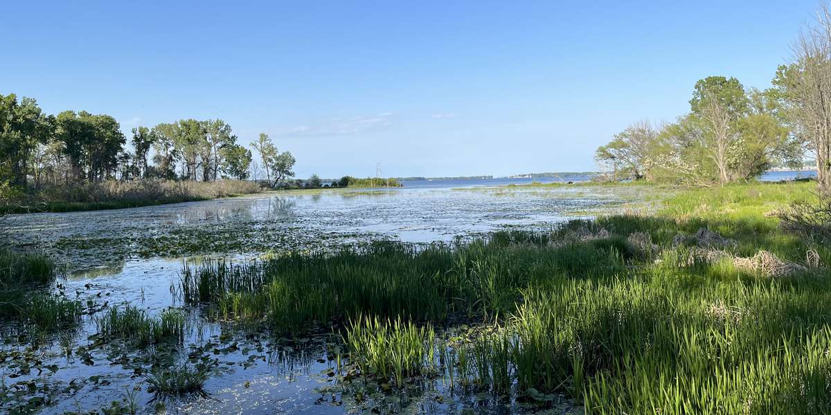
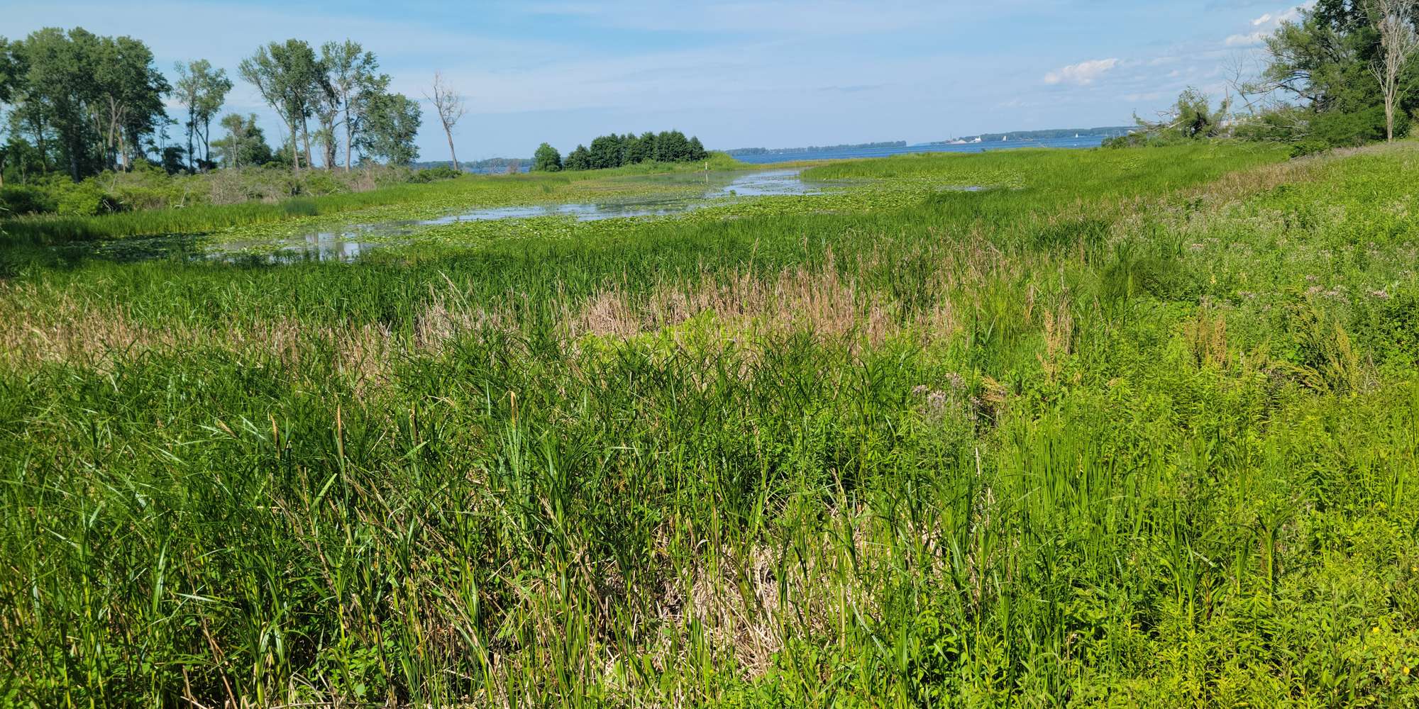
Isle State Park and for participating in our Chronolog Citizen Science Project. You are standing on “The Feather” observation platform that overlooks this inlet of Presque Isle Bay, adjacent to Leo’s Landing. This location provides an excellent view of a wetland ecosystem. This area was once overrun with invasive plant species (primarily phragmites and narrow-leaved cattail) to the point of degradation of the area, so it was no longer accessible by spawning fish, or able to be traversed by amphibians and reptiles. Park staff and interns have worked very hard to return this area to a native wetland and allowing for open-water once again. Water levels are now able to fluctuate naturally with the ebb and flow of the level of Lake Erie and Presque Isle Bay. Your photographs taken at this location will help document the natural changes that occur in this area including water level, seasonal changes to plants, and the variety of
bird and animal species that utilize this wetland. This Chronolog site is sponsored by the Presque Isle Partnership.
About Presque Isle State Park
The Pennsylvania Department of Conservation and Natural Resources manages Presque Isle State Park, a recurving sand-spit that is located along the Southern Shore of Lake Erie. The park is 3,200 acres with six distinct ecological zones from new beach to climax forest. The park is home to many rare, threatened, and endangered plant and animal species. The peninsula is also the most visited state park in the Commonwealth, hosting over 4 million visitors annually.