2023
2024
2025
2026


2023
2024
2025
2026
Beach 7 Shoreline Erosion
Managed by Presque Isle State Park
Since Jun 2022
In Pennsylvania, US
PIS102
This chronolog combines 354 photos from 114 contributors. Learn more
About this site
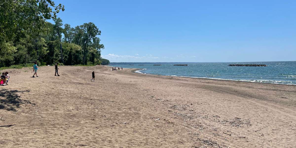
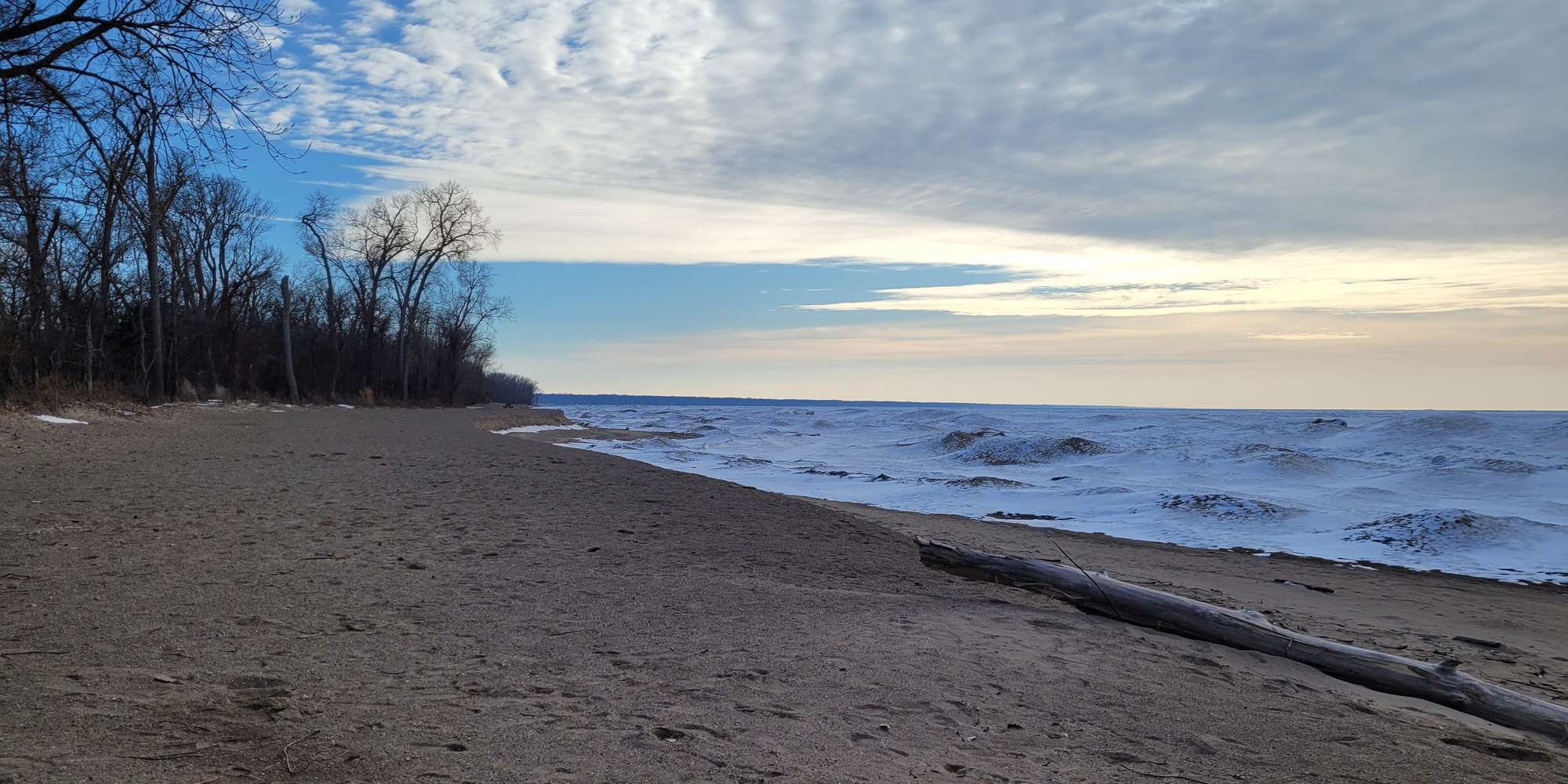
Thank you for visiting Presque Isle State Park and for participating in our Chronolog Citizen Science Project. You are standing at Beach 7 looking Southwest toward the shoreline. As a recurving sand spit jutting out into Lake Erie, Presque Isle State Park is continually impacted by erosion. The power of wind and wave action battering the shoreline works to eat away at the peninsula and leave the land in a constant state of change. In addition to regular wind and wave activity and storm events, the peninsula is also at the mercy of the changing lake levels found through the Great Lakes system. Your photographs taken at this location will help document the natural changes that occur in this area including water level, wave action, storm events, and erosional impacts. This Chronolog site is sponsored by the Presque Isle Partnership.
About Presque Isle State Park
The Pennsylvania Department of Conservation and Natural Resources manages Presque Isle State Park, a recurving sand-spit that is located along the Southern Shore of Lake Erie. The park is 3,200 acres with six distinct ecological zones from new beach to climax forest. The park is home to many rare, threatened, and endangered plant and animal species. The peninsula is also the most visited state park in the Commonwealth, hosting over 4 million visitors annually.
For nature-lovers
Explore chronologs
For organizations
Chronolog is a monitoring tool for parks, nature centers, wildlife organizations, schools, and museums worldwide. With over 100,000 contributors across 300 organizations, Chronolog is on a mission to engage communities with nature while recording important natural changes.
© Chronolog 2026 | Terms